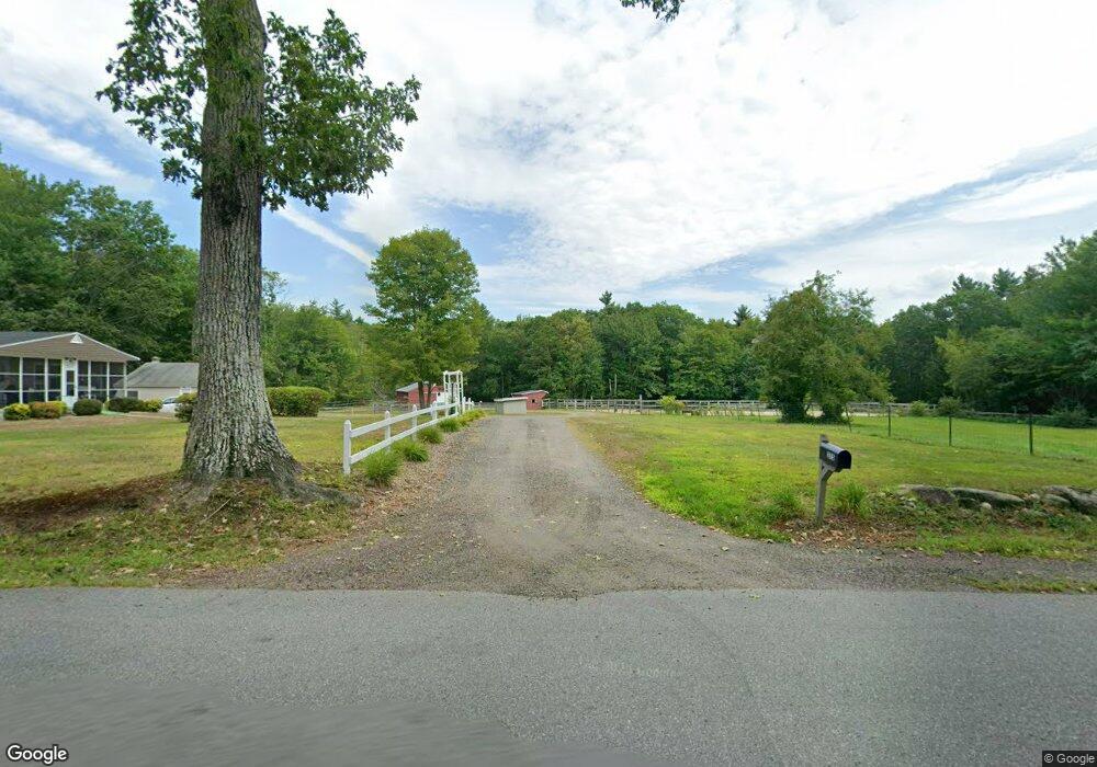
275 Robbins Rd Rindge, NH 03461
Estimated Value: $209,000 - $497,000
3
Beds
2
Baths
1,552
Sq Ft
$257/Sq Ft
Est. Value
About This Home
This home is located at 275 Robbins Rd, Rindge, NH 03461 and is currently estimated at $399,176, approximately $257 per square foot. 275 Robbins Rd is a home located in Cheshire County with nearby schools including Rindge Memorial School, Conant Middle High School, and Conant High School.
Ownership History
Date
Name
Owned For
Owner Type
Purchase Details
Closed on
Mar 24, 2021
Sold by
Tenney Lynn C and Pakkala Natalie J
Bought by
E E & K M Favart Ret
Current Estimated Value
Purchase Details
Closed on
Mar 2, 2020
Sold by
Favart Kimberly M
Bought by
Edward E & K M Favart Ret
Purchase Details
Closed on
Jan 7, 2020
Sold by
Tenney Wade A
Bought by
Favart Kimberly M
Purchase Details
Closed on
Oct 16, 2018
Sold by
Babneau Michele T
Bought by
Tenney Wade A and Tenney Lynn C
Create a Home Valuation Report for This Property
The Home Valuation Report is an in-depth analysis detailing your home's value as well as a comparison with similar homes in the area
Home Values in the Area
Average Home Value in this Area
Purchase History
| Date | Buyer | Sale Price | Title Company |
|---|---|---|---|
| E E & K M Favart Ret | $100,000 | None Available | |
| Edward E & K M Favart Ret | -- | None Available | |
| Favart Kimberly M | $50,000 | None Available | |
| Tenney Wade A | -- | -- |
Source: Public Records
Tax History Compared to Growth
Tax History
| Year | Tax Paid | Tax Assessment Tax Assessment Total Assessment is a certain percentage of the fair market value that is determined by local assessors to be the total taxable value of land and additions on the property. | Land | Improvement |
|---|---|---|---|---|
| 2024 | $6,064 | $239,600 | $72,200 | $167,400 |
| 2023 | $6,000 | $239,600 | $72,200 | $167,400 |
| 2022 | $5,518 | $239,600 | $72,200 | $167,400 |
| 2021 | $5,216 | $230,300 | $72,200 | $158,100 |
| 2020 | $5,170 | $230,300 | $72,200 | $158,100 |
| 2019 | $4,314 | $155,400 | $60,000 | $95,400 |
| 2018 | $4,274 | $155,400 | $60,000 | $95,400 |
| 2017 | $4,225 | $155,400 | $60,000 | $95,400 |
| 2016 | $4,337 | $155,400 | $60,000 | $95,400 |
| 2015 | $4,351 | $156,000 | $60,000 | $96,000 |
| 2014 | $4,537 | $174,300 | $86,000 | $88,300 |
| 2013 | $4,715 | $185,200 | $86,000 | $99,200 |
Source: Public Records
Map
Nearby Homes
- 22 Daria Dr
- 0 Thomas Rd Unit 10 5014817
- Lot 14 Saybrook Dr
- Lot 15-0 Saybrook Dr
- Lot 2 Saybrook Dr
- Lot 1 Saybrook Dr
- 801 Rt 12 S
- 115 Brook Side Rd Unit 2-12
- 40 Maple Dr
- 239 Abel Rd
- 31 Willow Ln
- 39 Willow Ln
- 37 Willow Ln
- 41 Willow Ln
- 45 Camp Cir
- 257 Lakeside Dr
- 74 Fern Cir
- 60 Fern Cir Unit 1-59
- 759 Brown St
- 706 Brown St