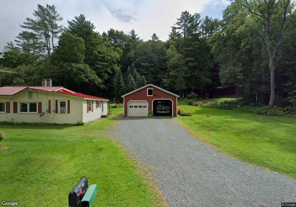
275 Route 12a Plainfield, NH 03781
Estimated Value: $333,968 - $449,000
2
Beds
1
Bath
1,219
Sq Ft
$323/Sq Ft
Est. Value
About This Home
This home is located at 275 Route 12a, Plainfield, NH 03781 and is currently estimated at $394,242, approximately $323 per square foot. 275 Route 12a is a home located in Sullivan County with nearby schools including Plainfield Elementary School, Lebanon High School, and Estabrook Christian School.
Create a Home Valuation Report for This Property
The Home Valuation Report is an in-depth analysis detailing your home's value as well as a comparison with similar homes in the area
Home Values in the Area
Average Home Value in this Area
Tax History
| Year | Tax Paid | Tax Assessment Tax Assessment Total Assessment is a certain percentage of the fair market value that is determined by local assessors to be the total taxable value of land and additions on the property. | Land | Improvement |
|---|---|---|---|---|
| 2023 | $4,541 | $288,300 | $127,400 | $160,900 |
| 2022 | $4,475 | $179,700 | $68,000 | $111,700 |
| 2021 | $4,771 | $179,700 | $68,000 | $111,700 |
| 2020 | $4,564 | $179,700 | $68,000 | $111,700 |
| 2019 | $4,672 | $179,700 | $68,000 | $111,700 |
| 2018 | $4,834 | $179,700 | $68,000 | $111,700 |
| 2017 | $4,254 | $150,600 | $59,500 | $91,100 |
| 2016 | $2,698 | $150,600 | $59,500 | $91,100 |
| 2015 | $4,104 | $150,600 | $59,500 | $91,100 |
| 2014 | $4,142 | $150,600 | $59,500 | $91,100 |
| 2013 | $4,142 | $150,600 | $59,500 | $91,100 |
Source: Public Records
Map
Nearby Homes
- 49 Clay Hill Rd
- 94 Porter Rd
- 8 Grout Rd
- 56 Mount Hunger Rd
- 00 Willow Brook Rd Unit 5
- 00 Barber Ln
- 1106 Route 12a
- 307 Remick Rd
- 1041 Stage Rd
- 15 Old Pine Tree Cemetery Rd
- 19 Spruce Park Dr
- 1049 N Main St
- 3 Tenley Dr
- 722 Fairview Terrace
- 13 Bullard St Unit 15
- 299 Latham Works Ln
- 17 Cottage Cir
- 22 King Dr
- 233 Brothers Rd
- 89 Route 12
Your Personal Tour Guide
Ask me questions while you tour the home.