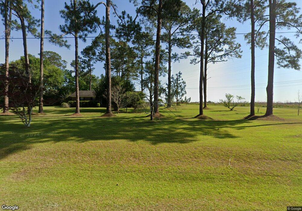
275 Suwanee Rd Moultrie, GA 31788
Estimated Value: $411,000 - $830,598
3
Beds
3
Baths
3,513
Sq Ft
$157/Sq Ft
Est. Value
About This Home
This home is located at 275 Suwanee Rd, Moultrie, GA 31788 and is currently estimated at $553,199, approximately $157 per square foot. 275 Suwanee Rd is a home with nearby schools including Sunset Elementary School, Willie J. Williams Middle School, and C.A. Gray Junior High School.
Ownership History
Date
Name
Owned For
Owner Type
Purchase Details
Closed on
Oct 6, 2016
Bought by
Chitty Brent and Chitty Stephanie
Current Estimated Value
Purchase Details
Closed on
May 1, 2007
Sold by
Hunnicutt Kenneth J
Bought by
The Hunnicutt Fam Partnersh
Purchase Details
Closed on
Jan 23, 2007
Sold by
Friedlander Jack
Bought by
The Hunnicutt Family Partnership Lllp
Purchase Details
Closed on
Nov 20, 1998
Bought by
Friedlander Jack
Purchase Details
Closed on
Mar 27, 1984
Bought by
Hunnicutt Kenneth J
Create a Home Valuation Report for This Property
The Home Valuation Report is an in-depth analysis detailing your home's value as well as a comparison with similar homes in the area
Purchase History
| Date | Buyer | Sale Price | Title Company |
|---|---|---|---|
| Chitty Brent | $270,000 | -- | |
| The Hunnicutt Fam Partnersh | -- | -- | |
| The Hunnicutt Family Partnership Lllp | -- | -- | |
| Friedlander Jack | -- | -- | |
| Hunnicutt Kenneth J | $171,000 | -- |
Source: Public Records
Tax History
| Year | Tax Paid | Tax Assessment Tax Assessment Total Assessment is a certain percentage of the fair market value that is determined by local assessors to be the total taxable value of land and additions on the property. | Land | Improvement |
|---|---|---|---|---|
| 2025 | $3,750 | $245,339 | $119,024 | $126,315 |
| 2024 | $3,750 | $228,857 | $113,335 | $115,522 |
| 2023 | $3,712 | $200,403 | $113,335 | $87,068 |
| 2022 | $1,360 | $113,335 | $113,335 | $0 |
| 2021 | $1,348 | $98,144 | $98,144 | $0 |
| 2020 | $1,333 | $98,144 | $98,144 | $0 |
| 2019 | $1,441 | $98,144 | $98,144 | $0 |
| 2018 | $2,075 | $81,102 | $81,102 | $0 |
| 2017 | $2,335 | $129,057 | $129,057 | $0 |
| 2016 | $3,590 | $130,158 | $130,158 | $0 |
| 2015 | $3,623 | $130,158 | $130,158 | $0 |
| 2014 | $3,555 | $130,158 | $130,158 | $0 |
| 2013 | -- | $130,157 | $130,157 | $0 |
Source: Public Records
Map
Nearby Homes
- 150 Friendship Trail
- 410 Indian Trail
- 0 Tallokas Rd Unit 11663248
- 144 Flint Dr
- 0 Old Timey Trail
- 3208 Tallokas Rd
- 2754 Tallokas Rd
- 31 31st Ave SE
- 235 Riggins Rd
- 264 Cobblestone Blvd SE
- 36 Cobblestone Blvd SE
- 85 Cobblestone Blvd SE
- 72 Packer Pride Dr SE
- 80 Cobblestone Blvd SE
- 69 Packer Pride Dr SE
- 7 SE Pheasant Ln
- 126 Sunset Cir
- 2720 Jacqueline Cir
- 2216 Azalea Dr
- 204 Nandina Dr
- 190 Southern Trail
- 200 Southern Trail
- 220 Southern Trail
- 188 Southern Trail
- 172 Southern Trail
- 226 Southern Trail
- 158 Southern Trail
- 223 Southern Trail
- 171 Southern Trail
- 109 Southern Trail
- 146 Southern Trail
- 169 Upper Trail
- 157 Upper Trail
- 120 Southern Trail
- 151 Upper Trail
- 130 Upper Trail
- 120 Friendship Trail
- 105 Friendship Trail
- 140 Friendship Trail
- 111 Friendship Trail
Your Personal Tour Guide
Ask me questions while you tour the home.