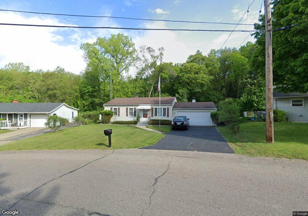
275 Viking Dr Battle Creek, MI 49017
Estimated Value: $137,009 - $164,000
3
Beds
1
Bath
962
Sq Ft
$157/Sq Ft
Est. Value
About This Home
This home is located at 275 Viking Dr, Battle Creek, MI 49017 and is currently estimated at $150,752, approximately $156 per square foot. 275 Viking Dr is a home located in Calhoun County with nearby schools including Pennfield Purdy School, Pennfield Dunlap Elementary School, and Pennfield Middle School.
Ownership History
Date
Name
Owned For
Owner Type
Purchase Details
Closed on
Jul 24, 2025
Sold by
Walker Sandra Kay and Walker Larry James
Bought by
Taylor Made Rentals Llc
Current Estimated Value
Purchase Details
Closed on
May 17, 2022
Sold by
Irene Skodinski
Bought by
Skodinski Irene and Walker Larry James
Purchase Details
Closed on
Jun 24, 2014
Sold by
Skodinski Oscar and Skodinski Irene
Bought by
Skodinski Oscar and Skodinski Irene
Create a Home Valuation Report for This Property
The Home Valuation Report is an in-depth analysis detailing your home's value as well as a comparison with similar homes in the area
Home Values in the Area
Average Home Value in this Area
Purchase History
| Date | Buyer | Sale Price | Title Company |
|---|---|---|---|
| Taylor Made Rentals Llc | $162,500 | None Listed On Document | |
| Taylor Made Rentals Llc | $162,500 | None Listed On Document | |
| Skodinski Irene | -- | None Listed On Document | |
| Skodinski Oscar | -- | None Available |
Source: Public Records
Tax History Compared to Growth
Tax History
| Year | Tax Paid | Tax Assessment Tax Assessment Total Assessment is a certain percentage of the fair market value that is determined by local assessors to be the total taxable value of land and additions on the property. | Land | Improvement |
|---|---|---|---|---|
| 2025 | $1,353 | $51,400 | $0 | $0 |
| 2024 | $603 | $45,400 | $0 | $0 |
| 2023 | $1,169 | $39,840 | $0 | $0 |
| 2022 | $547 | $33,810 | $0 | $0 |
| 2021 | $1,173 | $32,470 | $0 | $0 |
| 2020 | $1,153 | $31,830 | $0 | $0 |
| 2019 | $1,115 | $29,210 | $0 | $0 |
| 2018 | $1,005 | $28,780 | $7,080 | $21,700 |
| 2017 | $0 | $29,300 | $0 | $0 |
| 2016 | $0 | $28,370 | $0 | $0 |
| 2015 | -- | $26,180 | $3,766 | $22,414 |
| 2014 | -- | $24,360 | $3,766 | $20,594 |
Source: Public Records
Map
Nearby Homes
- V/L Parkview Ave
- 202 Viking Dr
- 6329 Purdy Dr
- 208 Glendale Ave
- 6722 Morgan Rd E
- 11 Coolidge Ave W
- 115 Briars Farm Ln
- 62 Coolidge Ave W
- 69 Coolidge Ave W
- 17 Gordon Blvd
- 561 Garrison Rd
- 125 Sunset Blvd W
- 341 Algonquin St
- 110 Harriet Ln
- 19687 East Ave N
- 52 Thorncroft Ave
- 104 Calico Ln
- 904 Washington Ave N
- 117 Old Lantern Trail
- 161 Wilds Ave