275 Walnut Path SW Marietta, GA 30064
Southwestern Marietta NeighborhoodEstimated Value: $715,000 - $1,188,000
3
Beds
3
Baths
2,494
Sq Ft
$380/Sq Ft
Est. Value
About This Home
This home is located at 275 Walnut Path SW, Marietta, GA 30064 and is currently estimated at $948,645, approximately $380 per square foot. 275 Walnut Path SW is a home with nearby schools including A.L. Burruss Elementary School, Marietta Sixth Grade Academy, and Marietta Middle School.
Ownership History
Date
Name
Owned For
Owner Type
Purchase Details
Closed on
Nov 13, 2014
Sold by
Weekley Homes Llc
Bought by
Newell Harry Anderson and Newell Renee M
Current Estimated Value
Home Financials for this Owner
Home Financials are based on the most recent Mortgage that was taken out on this home.
Original Mortgage
$301,000
Outstanding Balance
$229,908
Interest Rate
4%
Mortgage Type
New Conventional
Estimated Equity
$718,737
Purchase Details
Closed on
Mar 15, 2013
Sold by
Akm Enterprises Inc
Bought by
Weekley Homes Llc
Create a Home Valuation Report for This Property
The Home Valuation Report is an in-depth analysis detailing your home's value as well as a comparison with similar homes in the area
Home Values in the Area
Average Home Value in this Area
Purchase History
| Date | Buyer | Sale Price | Title Company |
|---|---|---|---|
| Newell Harry Anderson | $436,177 | -- | |
| Weekley Homes Llc | $320,000 | -- |
Source: Public Records
Mortgage History
| Date | Status | Borrower | Loan Amount |
|---|---|---|---|
| Open | Newell Harry Anderson | $301,000 |
Source: Public Records
Tax History Compared to Growth
Tax History
| Year | Tax Paid | Tax Assessment Tax Assessment Total Assessment is a certain percentage of the fair market value that is determined by local assessors to be the total taxable value of land and additions on the property. | Land | Improvement |
|---|---|---|---|---|
| 2025 | $1,343 | $365,452 | $112,000 | $253,452 |
| 2024 | $1,343 | $314,028 | $112,000 | $202,028 |
| 2023 | $1,191 | $314,028 | $112,000 | $202,028 |
| 2022 | $1,343 | $248,336 | $84,000 | $164,336 |
| 2021 | $1,373 | $224,452 | $72,000 | $152,452 |
| 2020 | $1,370 | $206,804 | $76,000 | $130,804 |
| 2019 | $1,370 | $206,804 | $76,000 | $130,804 |
| 2018 | $1,366 | $171,284 | $52,000 | $119,284 |
| 2017 | $1,095 | $168,788 | $52,000 | $116,788 |
| 2016 | $1,096 | $168,788 | $52,000 | $116,788 |
| 2015 | $1,195 | $168,788 | $52,000 | $116,788 |
| 2014 | $233 | $30,000 | $0 | $0 |
Source: Public Records
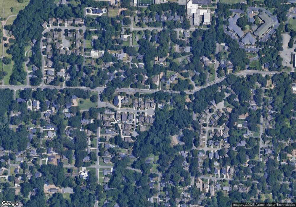
Map
Nearby Homes
- 73 Whitlock Square SW
- 25 Whitlock Square SW
- 32 Durham St SW
- 59 Trammell St SW
- 207 Walthall St NW
- 266 Crescent Cir SW
- 0 Polk St NW Unit 1523635
- 99 Griggs St SW
- 557 Henry Dr
- 327 Stewart Ave NW
- 80 Lindley Ave NW Unit 1
- 285 Kennesaw Ave NW
- 563 Hillandale Cir SW
- 305 Brookwood Dr SW
- 250 Green St SE
- 307 Green St SE
- 528 Mansell St SE
- 282 Evelyn St NW
- 29 Sessions St NW
- 271 Walnut Path SW
- 279 Walnut Path SW
- 283 Walnut Path SW
- 278 Walnut Path SW
- 274 Walnut Path SW
- 267 Whitlock Ave SW
- 270 Walnut Path SW
- 287 Walnut Path SW
- 284 Walnut Path SW
- 232 Whitlock Ave NW
- 242 Whitlock Ave NW
- 0 Walnut Path SW Unit 8735066
- 0 Walnut Path SW
- 201 Whitlock Ave SW
- 109 Walnut Cir SW
- 254 Whitlock Ave NW
- 220 Whitlock Ave NW
- 288 Walnut Path SW
- 291 Walnut Path SW
- 110 Walnut Cir