275 Wes Locke Rd Barnstead, NH 03218
Estimated Value: $532,000 - $551,000
3
Beds
1
Bath
1,120
Sq Ft
$486/Sq Ft
Est. Value
About This Home
This home is located at 275 Wes Locke Rd, Barnstead, NH 03218 and is currently estimated at $544,170, approximately $485 per square foot. 275 Wes Locke Rd is a home located in Belknap County with nearby schools including Barnstead Elementary School and Prospect Mountain High School.
Ownership History
Date
Name
Owned For
Owner Type
Purchase Details
Closed on
Dec 17, 2019
Sold by
Jacob A Donigian Ret
Bought by
Desrochers Nathan M and Desrochers Rebekah F
Current Estimated Value
Home Financials for this Owner
Home Financials are based on the most recent Mortgage that was taken out on this home.
Original Mortgage
$294,566
Outstanding Balance
$259,702
Interest Rate
3.6%
Mortgage Type
FHA
Estimated Equity
$284,468
Create a Home Valuation Report for This Property
The Home Valuation Report is an in-depth analysis detailing your home's value as well as a comparison with similar homes in the area
Home Values in the Area
Average Home Value in this Area
Purchase History
| Date | Buyer | Sale Price | Title Company |
|---|---|---|---|
| Desrochers Nathan M | $300,000 | None Available |
Source: Public Records
Mortgage History
| Date | Status | Borrower | Loan Amount |
|---|---|---|---|
| Open | Desrochers Nathan M | $294,566 |
Source: Public Records
Tax History Compared to Growth
Tax History
| Year | Tax Paid | Tax Assessment Tax Assessment Total Assessment is a certain percentage of the fair market value that is determined by local assessors to be the total taxable value of land and additions on the property. | Land | Improvement |
|---|---|---|---|---|
| 2024 | $7,524 | $461,300 | $116,900 | $344,400 |
| 2023 | $6,620 | $461,300 | $116,900 | $344,400 |
| 2022 | $6,201 | $287,100 | $60,100 | $227,000 |
| 2021 | $6,408 | $291,800 | $60,100 | $231,700 |
| 2020 | $6,741 | $291,800 | $60,100 | $231,700 |
| 2019 | $1,036 | $45,400 | $45,400 | $0 |
| 2018 | $1,010 | $45,400 | $45,400 | $0 |
| 2017 | $957 | $33,100 | $33,100 | $0 |
| 2016 | $902 | $33,100 | $33,100 | $0 |
| 2015 | $899 | $33,100 | $33,100 | $0 |
| 2014 | $793 | $33,100 | $33,100 | $0 |
| 2013 | $778 | $33,100 | $33,100 | $0 |
Source: Public Records
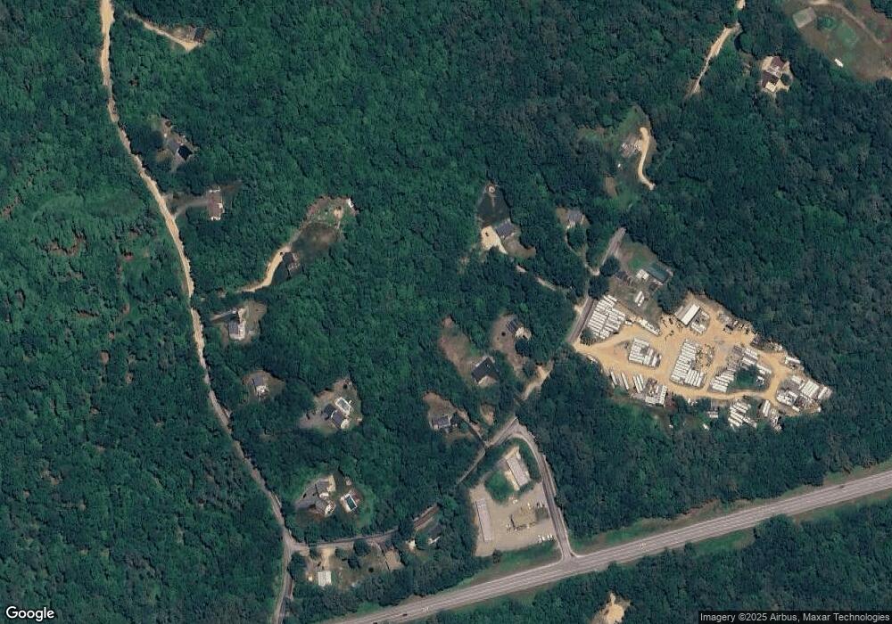
Map
Nearby Homes
- 4 Parade Cir
- 41 Pinepark Dr
- 22-54 Red Oak Rd
- 93 E Huntress Pond Rd
- L33 Province Rd
- 260 Garland Rd
- M2-l29-2 Province Rd
- 371 Province Rd
- 4 Sandy Point Rd
- 0 Shaw Rd Unit 36-1
- M10 L26-3 Valley Dam Rd
- 109 Shackford Corner Rd
- 11 Gray Rd
- 16 Ridge Rd
- 449 Tilton Hill Rd
- Lot 33 Ridge Rd
- 277 Shackford Corner Rd
- 85 Province Rd
- 81 Winant Rd
- L68-1 Vail Rd
- 275 Wes Locke Rd Unit Lot 13
- 291 Wes Locke Rd
- 261 Wes Locke Rd
- 257 Wes Locke Rd
- 0 Route 28
- 5 Wes Locke Rd
- 292 Wes Locke Rd
- 300 Wes Locke Rd
- 1018 Beauty Hill Rd
- 255 Wes Locke Rd
- 0 New Unit Lot 9 4720473
- 249 Wes Locke Rd
- 250 Wes Locke Rd
- 1006 Beauty Hill Rd
- L129 Wes Locke Rd
- 998 Beauty Hill Rd
- 992 Beauty Hill Rd
- 237 Wes Locke Rd
- 3 Beauty Hill Rd
- 982 Beauty Hill Rd