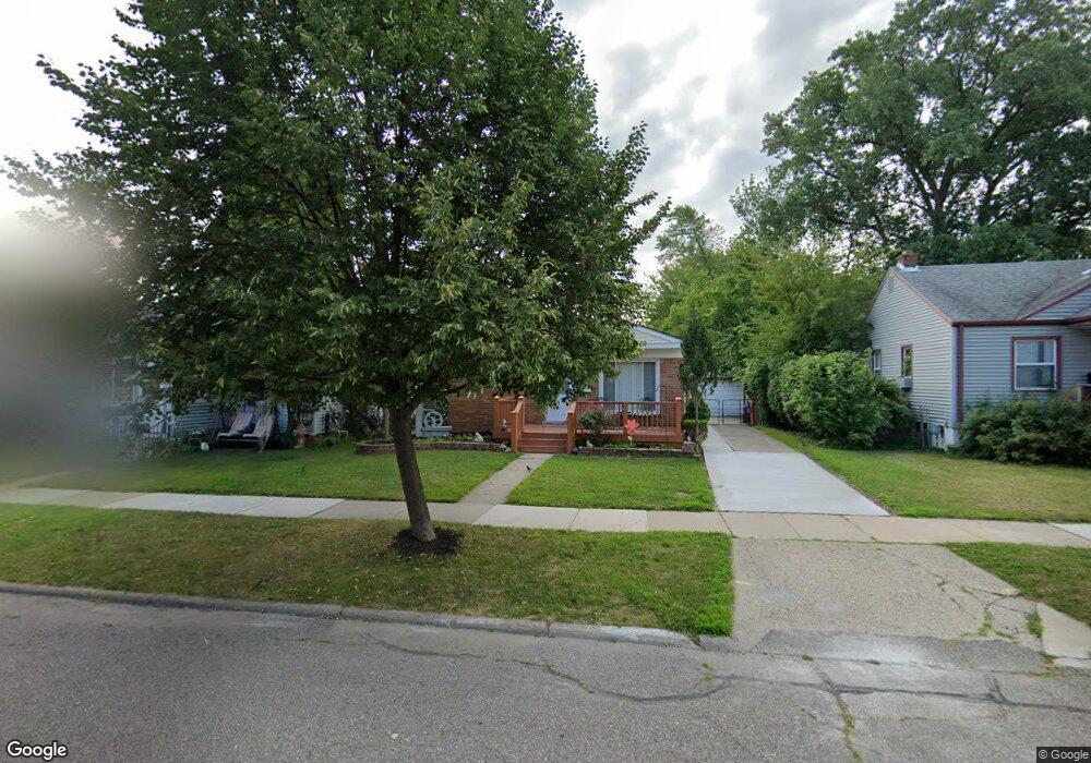
2750 Paxton St Unit Bldg-Unit Ferndale, MI 48220
Estimated Value: $212,000 - $244,000
3
Beds
1
Bath
974
Sq Ft
$232/Sq Ft
Est. Value
About This Home
This home is located at 2750 Paxton St Unit Bldg-Unit, Ferndale, MI 48220 and is currently estimated at $226,349, approximately $232 per square foot. 2750 Paxton St Unit Bldg-Unit is a home located in Oakland County with nearby schools including Ferndale Lower Elementary Campus, Ferndale Upper Elementary Campus, and Ferndale Middle School.
Ownership History
Date
Name
Owned For
Owner Type
Purchase Details
Closed on
Aug 25, 2010
Sold by
Chase Home Finance Llc
Bought by
Federal National Mortgage Association
Current Estimated Value
Purchase Details
Closed on
Aug 24, 2010
Sold by
Dennis Robb and Dennis Rosita
Bought by
Chase Home Finance Llc
Purchase Details
Closed on
Jun 7, 1996
Sold by
Nida Keith Allen
Bought by
Dennis Robb
Create a Home Valuation Report for This Property
The Home Valuation Report is an in-depth analysis detailing your home's value as well as a comparison with similar homes in the area
Home Values in the Area
Average Home Value in this Area
Purchase History
| Date | Buyer | Sale Price | Title Company |
|---|---|---|---|
| Federal National Mortgage Association | -- | None Available | |
| Chase Home Finance Llc | $91,824 | None Available | |
| Dennis Robb | $60,000 | -- |
Source: Public Records
Tax History Compared to Growth
Tax History
| Year | Tax Paid | Tax Assessment Tax Assessment Total Assessment is a certain percentage of the fair market value that is determined by local assessors to be the total taxable value of land and additions on the property. | Land | Improvement |
|---|---|---|---|---|
| 2024 | $2,924 | $96,590 | $0 | $0 |
| 2023 | $2,823 | $87,740 | $0 | $0 |
| 2022 | $2,796 | $78,590 | $0 | $0 |
| 2021 | $2,786 | $70,700 | $0 | $0 |
| 2020 | $2,669 | $64,510 | $0 | $0 |
| 2019 | $2,688 | $58,290 | $0 | $0 |
| 2018 | $2,681 | $51,770 | $0 | $0 |
| 2017 | $2,828 | $50,850 | $0 | $0 |
| 2016 | $2,608 | $46,250 | $0 | $0 |
| 2015 | -- | $41,810 | $0 | $0 |
| 2014 | -- | $37,650 | $0 | $0 |
| 2011 | -- | $40,990 | $0 | $0 |
Source: Public Records
Map
Nearby Homes
- 1143 Woodward Heights Unit 15
- 2814 Burdette St
- 3011 Wolcott St
- 2835 Goodrich St
- 3034 Wolcott St
- 3034 Paxton St
- 600 E Oakridge St
- 573 E Oakridge St
- 3041 Goodrich St
- 1489 Woodward Heights
- 545 E Maplehurst St
- 1469 Browning St
- 1600 Woodward Heights
- 525 E Lewiston Ave
- 3245 Inman St
- 3263 Goodrich St
- 464 E Cambourne St
- 550 E Breckenridge St
- 271 E Maplehurst St
- 317 E Cambourne St
- 2750 Paxton St
- 2808 Paxton St
- 2740 Paxton St
- 2818 Paxton St
- 2730 Paxton St
- 2751 Wolcott St
- 2811 Wolcott St
- 2828 Paxton St
- 2823 Wolcott St
- 2731 Wolcott St
- 2741 Wolcott St
- 2814 Inman St
- 2742 Inman St
- 2804 Inman St
- 2831 Wolcott St
- 903 Woodward Heights
- 915 Woodward Heights
- 2838 Paxton St
- 2723 Wolcott St
- 925 Woodward Heights