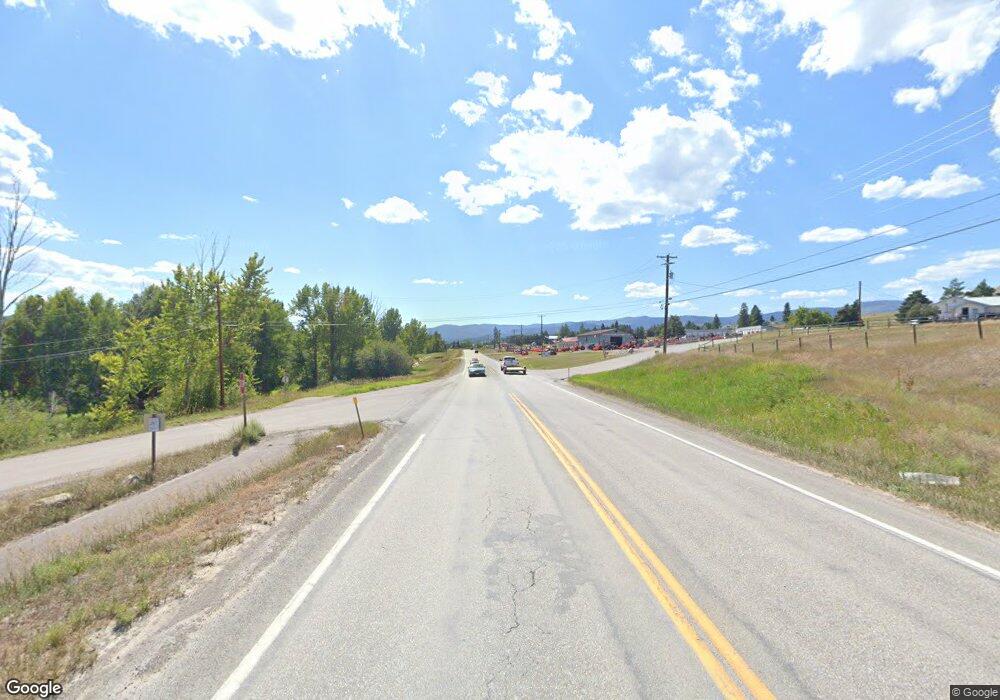
2750 Us Highway 2 W Kalispell, MT 59901
Estimated Value: $931,000 - $1,023,000
3
Beds
3
Baths
2,532
Sq Ft
$392/Sq Ft
Est. Value
About This Home
This home is located at 2750 Us Highway 2 W, Kalispell, MT 59901 and is currently estimated at $991,932, approximately $391 per square foot. 2750 Us Highway 2 W is a home located in Flathead County with nearby schools including Fair-Mont-Egan Elementary School, Fair-Mont-Egan Junior High School, and Flathead High School.
Ownership History
Date
Name
Owned For
Owner Type
Purchase Details
Closed on
Jan 13, 2011
Sold by
Whitefish Credit Union
Bought by
Mounteer Grant
Current Estimated Value
Purchase Details
Closed on
Oct 15, 2010
Sold by
Boyes James Glenn and Boyes Cheree Gaye
Bought by
Whitefish Credit Union
Purchase Details
Closed on
Jun 26, 2009
Sold by
Boyes Jonathan J
Bought by
Major Aerocraftsman Inc
Purchase Details
Closed on
Jan 12, 2009
Sold by
Campbell Cheree G
Bought by
Boyes Jonathan J
Create a Home Valuation Report for This Property
The Home Valuation Report is an in-depth analysis detailing your home's value as well as a comparison with similar homes in the area
Home Values in the Area
Average Home Value in this Area
Purchase History
| Date | Buyer | Sale Price | Title Company |
|---|---|---|---|
| Mounteer Grant | -- | Insured Titles | |
| Whitefish Credit Union | -- | None Available | |
| Whitefish Credit Union | -- | None Available | |
| Major Aerocraftsman Inc | -- | Insured Titles | |
| Boyes Jonathan J | -- | None Available |
Source: Public Records
Tax History Compared to Growth
Tax History
| Year | Tax Paid | Tax Assessment Tax Assessment Total Assessment is a certain percentage of the fair market value that is determined by local assessors to be the total taxable value of land and additions on the property. | Land | Improvement |
|---|---|---|---|---|
| 2025 | $4,032 | $1,061,520 | $0 | $0 |
| 2024 | $4,656 | $818,850 | $0 | $0 |
| 2023 | $4,641 | $818,850 | $0 | $0 |
| 2022 | $4,438 | $567,630 | $0 | $0 |
| 2021 | $4,626 | $567,630 | $0 | $0 |
| 2020 | $4,392 | $527,570 | $0 | $0 |
| 2019 | $4,411 | $527,570 | $0 | $0 |
| 2018 | $4,021 | $460,850 | $0 | $0 |
| 2017 | $4,040 | $460,850 | $0 | $0 |
| 2016 | $3,528 | $417,510 | $0 | $0 |
| 2015 | $3,532 | $417,510 | $0 | $0 |
| 2014 | $3,310 | $238,738 | $0 | $0 |
Source: Public Records
Map
Nearby Homes
- Lot 20 Holbrook Estates
- 215 Fairmont Rd
- Lot 24 Holbrook Estates
- 11 N Scarface Peak Ct
- 317 Scarface Peak Dr
- 29 S Scarface Peak Ct
- 28 S Scarface Peak Ct
- 335 Scarface Peak Dr
- 342 Scarface Peak Dr
- 175 Holbrook Dr
- 212 Holbrook Dr
- 236 Holbrook Dr
- 159 Holbrook Dr
- 183 Holbrook Dr
- 20 S Scarface Peak Ct
- 189 Holbrook Dr
- 220 Holbrook Dr
- Lot 11 Holbrook Estates
- 25 S Scarface Peak Ct
- Lot 4 Holbrook Estates
- 245 Empire Loop
- 23 Many Lakes Dr
- 237 Empire Loop
- 22 Many Lakes Dr
- 557 Anderson Ln
- 230 Amdahl Ln
- 310 Amdahl Ln
- 334 Amdahl Ln
- 322 Amdahl Ln
- 137 Amdahl Ln
- 140 Amdahl Ln
- 000 No Address
- Nhn No Address
- 70 Amdahl Ln
- 2505 Mt Highway 35
- 37 Panoramic Dr
- 31 Panoramic Dr
- 113 Swan Ridge Ct
- 928 Kingfisher Ln
- 33 Panoramic Dr
