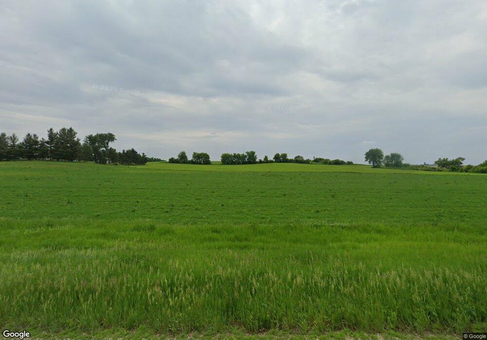
27500 County 9 Blvd Goodhue, MN 55027
Estimated Value: $354,000 - $398,000
3
Beds
2
Baths
1,618
Sq Ft
$237/Sq Ft
Est. Value
About This Home
This home is located at 27500 County 9 Blvd, Goodhue, MN 55027 and is currently estimated at $383,738, approximately $237 per square foot. 27500 County 9 Blvd is a home with nearby schools including Goodhue Elementary School and Goodhue Secondary School.
Ownership History
Date
Name
Owned For
Owner Type
Purchase Details
Closed on
Dec 30, 2019
Sold by
Nathlye E Benrud Ret
Bought by
Benrud Roger D and Benrud Michelle R
Current Estimated Value
Purchase Details
Closed on
Jan 13, 2015
Sold by
Benrud Nathlye E and Benrud Wanda L
Bought by
Benrud Nathlye E and Carlstrom Wanda L Benrud
Home Financials for this Owner
Home Financials are based on the most recent Mortgage that was taken out on this home.
Original Mortgage
$20,001
Interest Rate
3.97%
Purchase Details
Closed on
Dec 3, 2014
Sold by
Benrud Nathlye E
Bought by
Benrud Roger D and Benrud Michelle
Home Financials for this Owner
Home Financials are based on the most recent Mortgage that was taken out on this home.
Original Mortgage
$20,001
Interest Rate
3.97%
Create a Home Valuation Report for This Property
The Home Valuation Report is an in-depth analysis detailing your home's value as well as a comparison with similar homes in the area
Home Values in the Area
Average Home Value in this Area
Purchase History
| Date | Buyer | Sale Price | Title Company |
|---|---|---|---|
| Benrud Roger D | $275,000 | None Available | |
| Benrud Nathlye E | -- | Attorney | |
| Benrud Roger D | -- | Attorney | |
| Benrud Roger D | -- | Attorney | |
| Benrud Roger Roger | $24,500 | -- |
Source: Public Records
Mortgage History
| Date | Status | Borrower | Loan Amount |
|---|---|---|---|
| Previous Owner | Benrud Roger Roger | $20,001 |
Source: Public Records
Tax History Compared to Growth
Tax History
| Year | Tax Paid | Tax Assessment Tax Assessment Total Assessment is a certain percentage of the fair market value that is determined by local assessors to be the total taxable value of land and additions on the property. | Land | Improvement |
|---|---|---|---|---|
| 2025 | $2,922 | $323,900 | $119,900 | $204,000 |
| 2024 | -- | $308,800 | $119,600 | $189,200 |
| 2023 | $2,792 | $294,600 | $118,100 | $176,500 |
| 2022 | $2,950 | $279,600 | $114,300 | $165,300 |
| 2021 | $3,094 | $260,500 | $113,500 | $147,000 |
| 2020 | $2,608 | $260,200 | $112,800 | $147,400 |
| 2019 | $2,616 | $228,100 | $87,800 | $140,300 |
| 2018 | $1,744 | $229,200 | $88,100 | $141,100 |
| 2017 | $1,736 | $207,400 | $77,600 | $129,800 |
| 2016 | $1,300 | $207,400 | $77,600 | $129,800 |
| 2015 | $2,280 | $583,700 | $469,100 | $114,600 |
| 2014 | -- | $599,700 | $478,700 | $121,000 |
Source: Public Records
Map
Nearby Homes
- 111 S 4th St
- 27466 County 5 Blvd
- 27466 County 5 Blvd Unit LotWP001
- 508 2nd Ave
- 404 Crestview Ct
- Split-Level Plan at Swanson Heights Third - Swanson Heights Second
- 311 N 11th St
- 553 3rd Ave NE
- 71516 Highway 63
- 1693 Cherry St E
- 1483 Grand View Ln SE
- 259 14th Ave SE
- 1331 River Bluff Rd SE
- 907 River Bluff Rd SE
- 2812 Oakhurst Dr
- 66182 310th Ave
- 2725 Oakhurst Dr
- 2720 Oakhurst Dr
- 2824 Oakhurst Dr
- 323 2nd Ave SE
