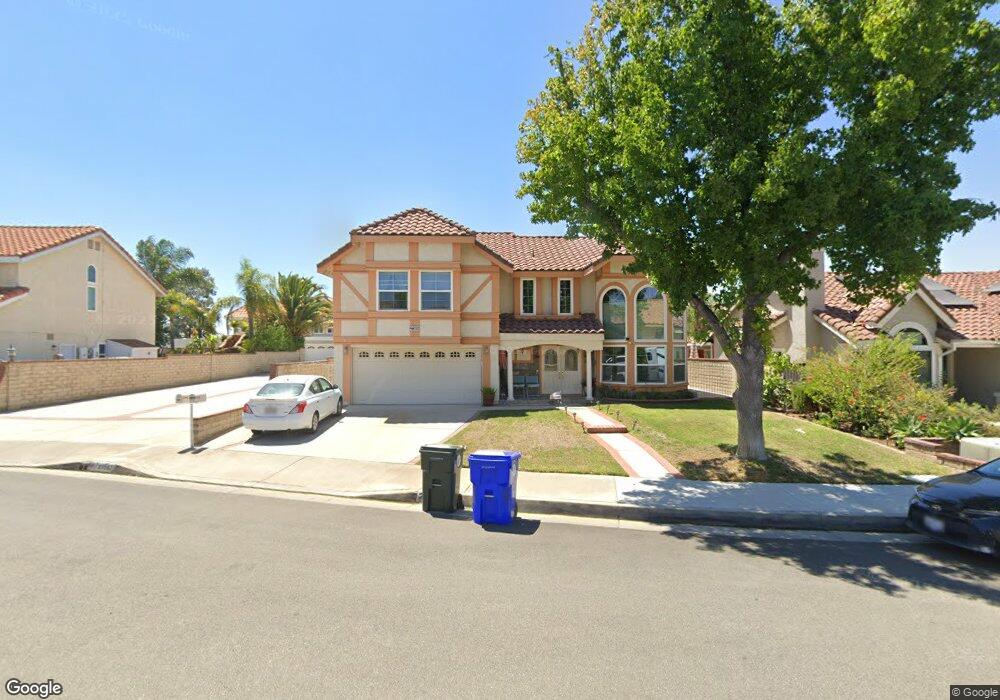
27509 Label Ave Canyon Country, CA 91351
Estimated Value: $863,524 - $1,003,000
4
Beds
3
Baths
2,166
Sq Ft
$434/Sq Ft
Est. Value
About This Home
This home is located at 27509 Label Ave, Canyon Country, CA 91351 and is currently estimated at $940,381, approximately $434 per square foot. 27509 Label Ave is a home located in Los Angeles County with nearby schools including Skyblue Mesa Elementary School, Sierra Vista Junior High School, and Canyon High School.
Ownership History
Date
Name
Owned For
Owner Type
Purchase Details
Closed on
Oct 19, 1998
Sold by
Trujillo Jesus L and Trujillo Gloria R
Bought by
Johri Naeem M and Johri Ruby T
Current Estimated Value
Home Financials for this Owner
Home Financials are based on the most recent Mortgage that was taken out on this home.
Original Mortgage
$145,000
Outstanding Balance
$30,953
Interest Rate
6.61%
Estimated Equity
$909,428
Create a Home Valuation Report for This Property
The Home Valuation Report is an in-depth analysis detailing your home's value as well as a comparison with similar homes in the area
Home Values in the Area
Average Home Value in this Area
Purchase History
| Date | Buyer | Sale Price | Title Company |
|---|---|---|---|
| Johri Naeem M | $242,000 | Fidelity National Title |
Source: Public Records
Mortgage History
| Date | Status | Borrower | Loan Amount |
|---|---|---|---|
| Open | Johri Naeem M | $145,000 |
Source: Public Records
Tax History Compared to Growth
Tax History
| Year | Tax Paid | Tax Assessment Tax Assessment Total Assessment is a certain percentage of the fair market value that is determined by local assessors to be the total taxable value of land and additions on the property. | Land | Improvement |
|---|---|---|---|---|
| 2025 | $5,373 | $379,356 | $118,190 | $261,166 |
| 2024 | $5,373 | $371,919 | $115,873 | $256,046 |
| 2023 | $5,120 | $364,627 | $113,601 | $251,026 |
| 2022 | $5,141 | $357,478 | $111,374 | $246,104 |
| 2021 | $5,052 | $350,470 | $109,191 | $241,279 |
| 2019 | $4,874 | $340,076 | $105,953 | $234,123 |
| 2018 | $4,713 | $333,409 | $103,876 | $229,533 |
| 2016 | $4,435 | $320,465 | $99,844 | $220,621 |
| 2015 | $4,269 | $315,653 | $98,345 | $217,308 |
| 2014 | $4,200 | $309,471 | $96,419 | $213,052 |
Source: Public Records
Map
Nearby Homes
- 20523 Stella Place
- 20312 Dorothy St
- 20533 Martingale Place
- 20535 Martingale Place
- 20264 Dorothy St
- 0 Vac Vic Oracle Hills Dusty Unit SR24027628
- 0 Vac Diamond View Ln Vic Summit Unit BB23229948
- 0 Vac Godde Hill Rd Wic Vic Ave Unit SR25026848
- 20543 Martingale Place
- 20256 Dorothy St
- 20208 Northcliff Dr
- 28002 Kenny Ln
- 20552 Galloway Dr
- 20544 Galloway Dr
- 20053 Northcliff Dr
- 27636 Camellia Dr
- 27642 Camellia Dr
- 20164 Crestview Dr
- 20161 Canyon View Dr
- 27806 Meadowcreek Rd
- 27515 Label Ave
- 27503 Label Ave
- 27507 Label Ave
- 27517 Label Ave
- 27505 Label Ave
- 27523 Label Ave
- 27501 Label Ave
- 27508 Label Ave
- 27519 Label Ave
- 27514 Label Ave
- 27500 Label Ave
- 27502 Label Ave
- 27520 Label Ave
- 20462 Ermine St
- 20468 Ermine St
- 20474 Ermine St
- 27524 Label Ave
- 20478 Ermine St
- 20452 Ermine St
- 20446 Ermine St