2751 Boulder Dr Burnsville, MN 55337
Estimated Value: $439,048 - $533,000
4
Beds
3
Baths
1,554
Sq Ft
$301/Sq Ft
Est. Value
About This Home
This home is located at 2751 Boulder Dr, Burnsville, MN 55337 and is currently estimated at $468,012, approximately $301 per square foot. 2751 Boulder Dr is a home located in Dakota County with nearby schools including Edward Neill Elementary School, Joseph Nicollet Middle School, and Burnsville High School.
Ownership History
Date
Name
Owned For
Owner Type
Purchase Details
Closed on
Oct 26, 1998
Sold by
Vennehjem Building Corp
Bought by
Dahlen William M and Dahlen Sandra A
Current Estimated Value
Create a Home Valuation Report for This Property
The Home Valuation Report is an in-depth analysis detailing your home's value as well as a comparison with similar homes in the area
Home Values in the Area
Average Home Value in this Area
Purchase History
| Date | Buyer | Sale Price | Title Company |
|---|---|---|---|
| Dahlen William M | $246,705 | -- | |
| Vennehjem Bldg Corp | $43,000 | -- |
Source: Public Records
Tax History Compared to Growth
Tax History
| Year | Tax Paid | Tax Assessment Tax Assessment Total Assessment is a certain percentage of the fair market value that is determined by local assessors to be the total taxable value of land and additions on the property. | Land | Improvement |
|---|---|---|---|---|
| 2024 | $5,186 | $459,500 | $133,800 | $325,700 |
| 2023 | $4,940 | $492,800 | $134,100 | $358,700 |
| 2022 | $4,572 | $462,100 | $133,800 | $328,300 |
| 2021 | $4,432 | $424,500 | $116,300 | $308,200 |
| 2020 | $4,220 | $391,300 | $110,800 | $280,500 |
| 2019 | $4,035 | $361,200 | $105,500 | $255,700 |
| 2018 | $3,858 | $330,500 | $97,700 | $232,800 |
| 2017 | $3,618 | $308,500 | $90,400 | $218,100 |
| 2016 | $3,586 | $286,100 | $86,100 | $200,000 |
| 2015 | $3,189 | $260,657 | $79,733 | $180,924 |
| 2014 | -- | $241,691 | $74,141 | $167,550 |
| 2013 | -- | $217,384 | $64,955 | $152,429 |
Source: Public Records
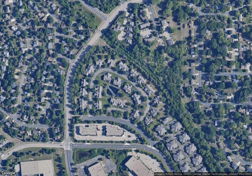
Map
Nearby Homes
- 13817 Thomas Ave S
- 13840 York Ave S
- 13812 Sunset Lake Dr
- 2704 W 135th St
- 2108 Friendship Ln
- 2104 W 140th St
- 13717 W Preserve Blvd
- 1905 W 140th St
- 1724 W 140th St
- 4008 W 137th St
- 1701 W 138th St
- 1725 W 140th St
- 2909 Sunnyside Cir
- 13208 Upton Ave S
- 13147 Thomas Ave S
- 13303 Morgan Ave S
- 14709 Hillshire Ln
- 4368 W 141st St
- 13100 Thomas Ave S
- 14750 W Bursnville Pkwy Unit 115
- 2745 Boulder Dr
- 2761 Boulder Dr
- 2771 Boulder Dr
- 2741 Boulder Dr
- 2754 Boulder Dr
- 2750 Boulder Dr
- 2760 Boulder Dr
- 2735 Boulder Dr
- 2744 Boulder Dr
- 2790 Boulder Ln
- 2792 Boulder Ln
- 2764 Boulder Dr
- 2794 Boulder Ln
- 2781 Boulder Dr
- 2731 Boulder Dr
- 2770 Boulder Dr
- 2740 Boulder Dr
- 2796 Boulder Ln
- 2774 Boulder Dr
- 2785 Boulder Dr