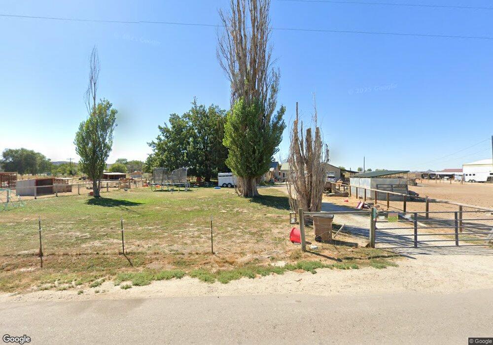
2755 Airport Rd Emmett, ID 83617
Gem County NeighborhoodEstimated Value: $554,000 - $854,000
2
Beds
1
Bath
800
Sq Ft
$922/Sq Ft
Est. Value
About This Home
This home is located at 2755 Airport Rd, Emmett, ID 83617 and is currently estimated at $737,790, approximately $922 per square foot. 2755 Airport Rd is a home located in Gem County with nearby schools including Shadow Butte Elementary School.
Ownership History
Date
Name
Owned For
Owner Type
Purchase Details
Closed on
Jul 17, 2007
Sold by
Dennis Cortney
Bought by
Dennis Leon J
Current Estimated Value
Home Financials for this Owner
Home Financials are based on the most recent Mortgage that was taken out on this home.
Original Mortgage
$299,944
Outstanding Balance
$187,573
Interest Rate
6.51%
Mortgage Type
New Conventional
Estimated Equity
$550,217
Purchase Details
Closed on
Feb 17, 2006
Sold by
Mansfield Edward A and Mansfield Carol M
Bought by
Dennis Leon J
Home Financials for this Owner
Home Financials are based on the most recent Mortgage that was taken out on this home.
Original Mortgage
$162,400
Interest Rate
6.15%
Mortgage Type
New Conventional
Create a Home Valuation Report for This Property
The Home Valuation Report is an in-depth analysis detailing your home's value as well as a comparison with similar homes in the area
Home Values in the Area
Average Home Value in this Area
Purchase History
| Date | Buyer | Sale Price | Title Company |
|---|---|---|---|
| Dennis Leon J | -- | -- | |
| Dennis Leon J | $203,000 | -- |
Source: Public Records
Mortgage History
| Date | Status | Borrower | Loan Amount |
|---|---|---|---|
| Open | Dennis Leon J | $299,944 | |
| Closed | Dennis Leon J | $162,400 |
Source: Public Records
Tax History Compared to Growth
Tax History
| Year | Tax Paid | Tax Assessment Tax Assessment Total Assessment is a certain percentage of the fair market value that is determined by local assessors to be the total taxable value of land and additions on the property. | Land | Improvement |
|---|---|---|---|---|
| 2024 | $1,214 | $537,409 | $179,023 | $358,386 |
| 2023 | $1,025 | $534,349 | $149,156 | $385,193 |
| 2021 | $1,706 | $484,490 | $155,009 | $329,481 |
| 2020 | $1,593 | $350,151 | $101,035 | $249,116 |
| 2019 | $1,487 | $318,916 | $75,321 | $243,595 |
| 2018 | $1,318 | $267,511 | $63,821 | $203,690 |
| 2017 | $1,342 | $238,630 | $61,140 | $177,490 |
| 2016 | $1,197 | $207,050 | $55,830 | $151,220 |
| 2015 | $1,198 | $201,780 | $50,560 | $151,220 |
| 2014 | $21,208 | $182,940 | $47,900 | $135,040 |
Source: Public Records
Map
Nearby Homes
- 2213 W Highway 52
- 3170 W Sales Yard Rd
- 3230 W Sales Yard Rd
- 2223 W Sales Yard Rd
- 3345 Kings Ln
- 3190 Grandview Ln
- 2412 S Mill Rd
- 729 S Mill Rd
- 1424 Mill Rd
- 2719 W Highway 52
- 1182 Dittman Dr
- TBD Cascade Rd
- 1168 Kaetzel Way
- 990 Bangtail Ln
- 878 W Jasper St
- Columbia 2530 Plan at Skyhawk
- 651 S Jayo Ct
- 1116 Johnson Ave
- 672 W Jayo Ct
- 672 S Jayo Ct
- 2754 Airport Rd
- 2623 Airport Rd
- 2622 Airport Rd
- 2417 Airport Rd
- 2796 Airport Rd
- xxx Airport Rd
- 2323 Airport Rd
- 2519 Schiller Rd
- 2385 Airport Rd
- 2395 Airport Rd
- 2211 Airport Rd
- 2777 Schiller Rd
- 00 W Sale Yard Rd
- TBD Airport Rd
- 2001 W Sales Yard Rd
- 1800 W Sales Yard Rd
- 1860 W Sales Yard Rd
- 1811 W Sales Yard Rd
- 1823 W Sales Yard Rd
- 2505 Schiller Rd