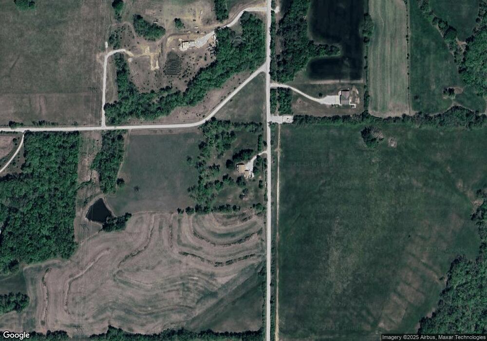
27553 179th St Leavenworth, KS 66048
Estimated Value: $367,686 - $447,000
2
Beds
2
Baths
1,378
Sq Ft
$285/Sq Ft
Est. Value
About This Home
This home is located at 27553 179th St, Leavenworth, KS 66048 and is currently estimated at $392,672, approximately $284 per square foot. 27553 179th St is a home located in Leavenworth County with nearby schools including Lansing Elementary School, Lansing Middle 6-8, and Lansing High 9-12.
Ownership History
Date
Name
Owned For
Owner Type
Purchase Details
Closed on
Oct 1, 1997
Bought by
Murphy Randy G and Murphy Lori A
Current Estimated Value
Home Financials for this Owner
Home Financials are based on the most recent Mortgage that was taken out on this home.
Original Mortgage
$75,000
Outstanding Balance
$58,766
Interest Rate
7.28%
Mortgage Type
New Conventional
Estimated Equity
$316,738
Create a Home Valuation Report for This Property
The Home Valuation Report is an in-depth analysis detailing your home's value as well as a comparison with similar homes in the area
Home Values in the Area
Average Home Value in this Area
Purchase History
| Date | Buyer | Sale Price | Title Company |
|---|---|---|---|
| Murphy Randy G | $75,000 | -- |
Source: Public Records
Mortgage History
| Date | Status | Borrower | Loan Amount |
|---|---|---|---|
| Open | Murphy Randy G | $75,000 |
Source: Public Records
Tax History Compared to Growth
Tax History
| Year | Tax Paid | Tax Assessment Tax Assessment Total Assessment is a certain percentage of the fair market value that is determined by local assessors to be the total taxable value of land and additions on the property. | Land | Improvement |
|---|---|---|---|---|
| 2025 | $3,885 | $35,983 | $11,374 | $24,609 |
| 2024 | $3,621 | $34,598 | $9,341 | $25,257 |
| 2023 | $3,621 | $33,592 | $9,115 | $24,477 |
| 2022 | $3,509 | $31,418 | $7,996 | $23,422 |
| 2021 | $3,305 | $29,130 | $6,846 | $22,284 |
| 2020 | $3,091 | $26,833 | $6,617 | $20,216 |
| 2019 | $2,965 | $25,702 | $6,042 | $19,660 |
| 2018 | $2,723 | $23,644 | $6,042 | $17,602 |
| 2017 | $2,568 | $22,241 | $6,042 | $16,199 |
| 2016 | $2,399 | $20,835 | $5,704 | $15,131 |
| 2015 | $2,289 | $19,976 | $5,704 | $14,272 |
| 2014 | $2,139 | $19,021 | $5,704 | $13,317 |
Source: Public Records
Map
Nearby Homes
- 17739 Eisenhower Rd
- 17096 Eisenhower Rd
- 00000 Michals Rd
- 17470 Springdale Rd
- 28527 187th St
- Lot 5 Bauserman Rd
- 26277 187th St
- 4236 Clayton Ct
- 2151 Shenandoah Dr
- 2150 Shenandoah Dr
- 0000 Eisenhower Rd
- 3703 Clayton Dr
- 2248 Vilas St
- 1964 Eisenhower Rd
- 503 Limit St
- 16055 W Eisenhower Rd
- 00000 Edwards Terrace
- 2100 Limit St
- 2308 Hebbeln Dr
- 25770 Tonganoxie Dr
- 27371 179th St
- 27352 179th St
- 27319 179th St
- 27812 179th St
- 27805 179th St
- 18119 High Prairie Rd
- 27261 179th St
- 17715 Michals Rd
- 27227 179th St
- 17675 Michals Rd
- 27184 179th St
- 17770 Michals Rd
- 27162 179th St
- 17625 Michals Rd
- 27134 179th St
- 27125 179th St
- 17505 Michals Rd
- 27120 179th St
- 17858 Michals Rd
- 27082 179th St
