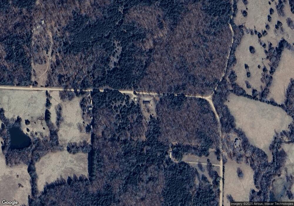
2758 Stokes Rd Maynard, AR 72444
Estimated Value: $128,437 - $167,000
--
Bed
1
Bath
1,604
Sq Ft
$96/Sq Ft
Est. Value
About This Home
This home is located at 2758 Stokes Rd, Maynard, AR 72444 and is currently estimated at $153,609, approximately $95 per square foot. 2758 Stokes Rd is a home located in Randolph County with nearby schools including Maynard Elementary School and Maynard High School.
Ownership History
Date
Name
Owned For
Owner Type
Purchase Details
Closed on
Sep 15, 2021
Sold by
Weisenbach Gary Dennis
Bought by
Perkins Brandon Keith Loy
Current Estimated Value
Home Financials for this Owner
Home Financials are based on the most recent Mortgage that was taken out on this home.
Original Mortgage
$126,378
Outstanding Balance
$114,569
Interest Rate
2.7%
Mortgage Type
FHA
Estimated Equity
$39,040
Purchase Details
Closed on
Apr 19, 2010
Bought by
Weisenbach To Weisenbach
Purchase Details
Closed on
Nov 1, 1990
Bought by
Weisenbach Gary D
Create a Home Valuation Report for This Property
The Home Valuation Report is an in-depth analysis detailing your home's value as well as a comparison with similar homes in the area
Home Values in the Area
Average Home Value in this Area
Purchase History
| Date | Buyer | Sale Price | Title Company |
|---|---|---|---|
| Perkins Brandon Keith Loy | $129,000 | None Available | |
| Weisenbach To Weisenbach | -- | -- | |
| Weisenbach Gary D | $20,000 | -- |
Source: Public Records
Mortgage History
| Date | Status | Borrower | Loan Amount |
|---|---|---|---|
| Open | Perkins Brandon Keith Loy | $126,378 |
Source: Public Records
Tax History Compared to Growth
Tax History
| Year | Tax Paid | Tax Assessment Tax Assessment Total Assessment is a certain percentage of the fair market value that is determined by local assessors to be the total taxable value of land and additions on the property. | Land | Improvement |
|---|---|---|---|---|
| 2025 | $8 | $11,360 | $805 | $10,555 |
| 2024 | $8 | $11,385 | $805 | $10,580 |
| 2023 | $38 | $11,385 | $805 | $10,580 |
| 2022 | $90 | $11,385 | $805 | $10,580 |
| 2021 | $90 | $11,385 | $805 | $10,580 |
| 2020 | $111 | $11,905 | $815 | $11,090 |
| 2019 | $110 | $11,905 | $815 | $11,090 |
| 2018 | $136 | $11,905 | $815 | $11,090 |
| 2017 | $168 | $12,725 | $855 | $11,870 |
| 2016 | $117 | $12,725 | $855 | $11,870 |
| 2015 | $114 | $12,725 | $855 | $11,870 |
| 2014 | $70 | $12,725 | $855 | $11,870 |
Source: Public Records
Map
Nearby Homes
- 702 Fox Run Trail
- 43 Cheyenne Trail
- 917 Hummingbird Trail
- 86 Palestine Rd
- 86 Acres Palestine Rd
- 0 Tbd Engelberg Rd Unit LotWP001
- 152 Lentz St
- 146 Alicia Cove
- 1023 Mosley Rd
- 35 Ingram St
- 77 Mock St
- 13321 Arkansas 115
- 13322 Arkansas 115
- 8673 Highway 251
- 2524 Tucker Rd
- 1580 Sierra Loop
- 4152 Ponds Tract 3
- 4152 Ponds Tract 6
- 4152 Ponds Tract 4
- 901 Cagle Rd
- 2866 Stokes Rd
- 2537 Stokes Rd
- 2378 Stokes Rd
- 3164 Stokes Rd
- 2165 Stokes Rd
- 3205 Stokes Rd
- 1875 Harper Cemetery Rd
- 3270 Stokes Rd
- 399 Osage Trail
- 83 Osage Trail
- 1683 Harper Cemetery Rd
- 56 Sioux Trail
- 1468 Harper Cemetery Rd
- 3461 Stokes Rd
- 230 Sioux Trail
- 1676 Stokes Rd
- 272 Sioux Trail
- 1298 Harper Cemetery Rd
- 871 Waymon Trail
- 4624 Highway 328 W
