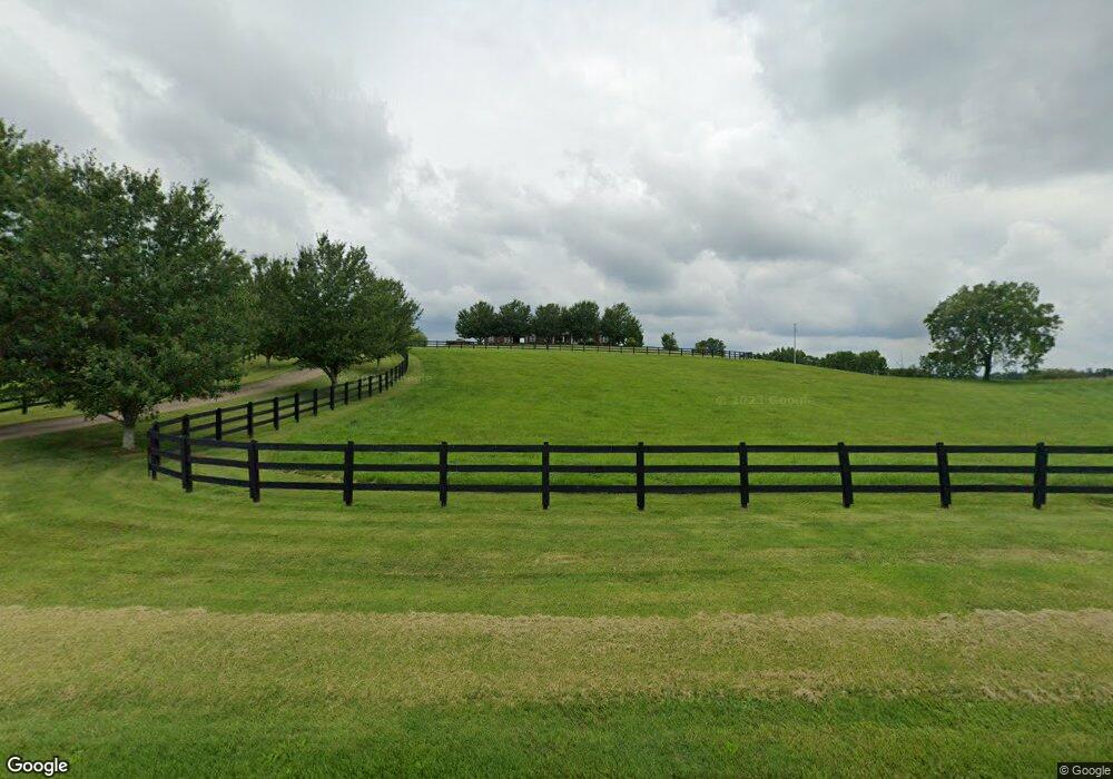
276 Fire Tower Rd Pulaski, TN 38478
Estimated Value: $824,000 - $1,398,043
--
Bed
5
Baths
3,675
Sq Ft
$302/Sq Ft
Est. Value
About This Home
This home is located at 276 Fire Tower Rd, Pulaski, TN 38478 and is currently estimated at $1,111,022, approximately $302 per square foot. 276 Fire Tower Rd is a home located in Giles County with nearby schools including Richland Elementary School and Richland School.
Ownership History
Date
Name
Owned For
Owner Type
Purchase Details
Closed on
Aug 30, 2016
Sold by
Edwards Glen Kaye
Bought by
Mittlesteadt Carol L Trustee Mittlesteadt Tru
Current Estimated Value
Purchase Details
Closed on
Nov 24, 2009
Bought by
Trust Mittlesteadt and Mittlestadt Trustee Carol L
Home Financials for this Owner
Home Financials are based on the most recent Mortgage that was taken out on this home.
Original Mortgage
$500,000
Interest Rate
5.01%
Purchase Details
Closed on
Dec 10, 2004
Bought by
Bolden Family Limited Partnership %Robert Bol
Purchase Details
Closed on
Jan 1, 1981
Create a Home Valuation Report for This Property
The Home Valuation Report is an in-depth analysis detailing your home's value as well as a comparison with similar homes in the area
Home Values in the Area
Average Home Value in this Area
Purchase History
| Date | Buyer | Sale Price | Title Company |
|---|---|---|---|
| Mittlesteadt Carol L Trustee Mittlesteadt Tru | $1,500 | -- | |
| Trust Mittlesteadt | $635,000 | -- | |
| Bolden Family Limited Partnership %Robert Bol | $200,000 | -- | |
| -- | $22,000 | -- |
Source: Public Records
Mortgage History
| Date | Status | Borrower | Loan Amount |
|---|---|---|---|
| Previous Owner | -- | $500,000 |
Source: Public Records
Tax History Compared to Growth
Tax History
| Year | Tax Paid | Tax Assessment Tax Assessment Total Assessment is a certain percentage of the fair market value that is determined by local assessors to be the total taxable value of land and additions on the property. | Land | Improvement |
|---|---|---|---|---|
| 2025 | $4,528 | $227,975 | $0 | $0 |
| 2024 | $4,528 | $227,975 | $21,150 | $206,825 |
| 2023 | $4,528 | $227,975 | $21,150 | $206,825 |
| 2022 | $4,528 | $227,975 | $21,150 | $206,825 |
| 2021 | $4,504 | $159,450 | $13,675 | $145,775 |
| 2020 | $4,504 | $159,450 | $13,675 | $145,775 |
| 2019 | $4,504 | $159,450 | $13,675 | $145,775 |
| 2018 | $4,504 | $159,450 | $13,675 | $145,775 |
| 2017 | $4,223 | $159,450 | $13,675 | $145,775 |
| 2016 | $4,120 | $138,675 | $7,150 | $131,525 |
| 2015 | $3,843 | $138,675 | $7,150 | $131,525 |
| 2014 | $3,837 | $138,465 | $0 | $0 |
Source: Public Records
Map
Nearby Homes
- 5251 Lewisburg Hwy
- 4768 Lewisburg Hwy
- 161 Woodlawn Rd
- 1 Sleepy Hollow Rd
- 1448 Williams Hollow Rd
- 0 Shady Ln Unit RTC2914418
- 3345 Pigeon Roost Rd
- 226 Sands Rd
- 310 Sands Rd
- 175 Birch Ln
- 5 Haywood Creek Rd
- 3 Haywood Creek Rd
- 2 Haywood Creek Rd
- 1 Haywood Creek Rd
- 0 Access Rd
- 0 Lewisburg Hwy Unit RTC3033027
- 0 Lewisburg Hwy Unit RTC2811267
- 117 Cornersville Access Rd
- 394 Young Hollow Rd
- 220 Poling Dr
- 300 Fire Tower Rd
- 248 Fire Tower Rd
- 284 Fire Tower Rd
- 190 Fire Tower Rd
- 221 Robertson Rd E
- 0 Robertson Road Robinson Rd E Unit RTC2425765
- 221 Robinson Rd
- 221 Robinson Rd
- 747 Pigeon Roost Rd
- 5389 Lewisburg Hwy
- 575 Odd Fellows Hall Rd
- 700 Odd Fellows Hall Rd
- 4575 Us Highway 31-A
- 520 Odd Fellows Hall Rd
- 5267 Lewisburg Hwy
- 505 Firetower Rd
- 500 Pigeon Roost Rd
- 5290 Lewisburg Hwy
- 5215 Lewisburg Hwy
- 1480 Sumac Rd
