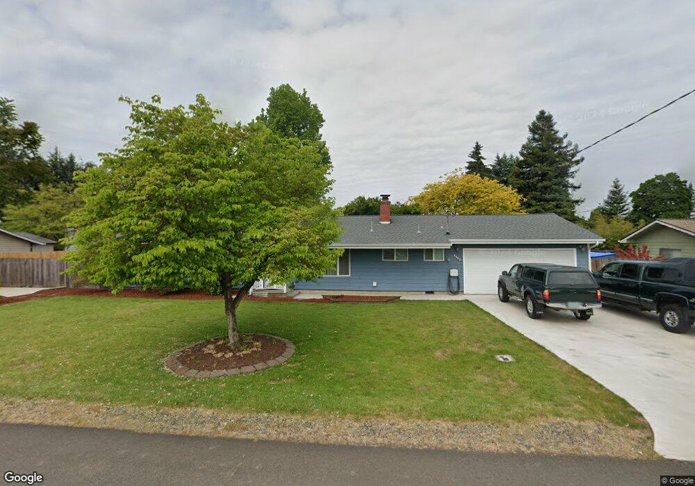
2760 Crocker Rd Eugene, OR 97404
Santa Clara NeighborhoodEstimated Value: $423,158 - $474,000
3
Beds
2
Baths
1,570
Sq Ft
$290/Sq Ft
Est. Value
About This Home
This home is located at 2760 Crocker Rd, Eugene, OR 97404 and is currently estimated at $456,040, approximately $290 per square foot. 2760 Crocker Rd is a home located in Lane County with nearby schools including Spring Creek Elementary School, Madison Middle School, and North Eugene High School.
Ownership History
Date
Name
Owned For
Owner Type
Purchase Details
Closed on
Dec 7, 2021
Sold by
Edmiston Rick D and Edmiston Sharon L
Bought by
Edmiston Rick D and The Edmiston Joint Trust
Current Estimated Value
Purchase Details
Closed on
Jun 18, 1999
Sold by
Margurette Park
Bought by
Edmiston Rick D and Edmiston Sharon L
Home Financials for this Owner
Home Financials are based on the most recent Mortgage that was taken out on this home.
Original Mortgage
$119,700
Outstanding Balance
$30,851
Interest Rate
7.01%
Estimated Equity
$425,189
Create a Home Valuation Report for This Property
The Home Valuation Report is an in-depth analysis detailing your home's value as well as a comparison with similar homes in the area
Home Values in the Area
Average Home Value in this Area
Purchase History
| Date | Buyer | Sale Price | Title Company |
|---|---|---|---|
| Edmiston Rick D | -- | None Available | |
| Edmiston Rick D | $126,000 | Western Pioneer Title Co |
Source: Public Records
Mortgage History
| Date | Status | Borrower | Loan Amount |
|---|---|---|---|
| Open | Edmiston Rick D | $119,700 |
Source: Public Records
Tax History
| Year | Tax Paid | Tax Assessment Tax Assessment Total Assessment is a certain percentage of the fair market value that is determined by local assessors to be the total taxable value of land and additions on the property. | Land | Improvement |
|---|---|---|---|---|
| 2025 | $2,848 | $222,526 | -- | -- |
| 2024 | $2,833 | $216,045 | -- | -- |
| 2023 | $2,833 | $209,753 | $0 | $0 |
| 2022 | $2,663 | $203,644 | $0 | $0 |
| 2021 | $2,443 | $197,713 | $0 | $0 |
| 2020 | $2,489 | $191,955 | $0 | $0 |
| 2019 | $2,397 | $186,365 | $0 | $0 |
| 2018 | $2,207 | $175,667 | $0 | $0 |
| 2017 | $2,092 | $175,667 | $0 | $0 |
| 2016 | $1,951 | $170,550 | $0 | $0 |
| 2015 | $1,880 | $165,583 | $0 | $0 |
| 2014 | $1,758 | $160,760 | $0 | $0 |
Source: Public Records
Map
Nearby Homes
- 2740 Stark St
- 2721 La Darrah St
- 2937 Stark St
- 2563 York St
- 2923 Maranta St
- 835 Bobolink Ave
- 349 Irving Rd
- 2488 Northampton
- 2987 Dry Creek Rd
- 200 Irving Rd
- 303 Lenore Loop
- 2931 Shelby Way
- 215 Jonquil Ave
- 2610 Crowther Dr
- 2484 Crowther Dr
- 2580 Crowther Dr
- 193 Santa Clara Ave
- 2439 Quince St
- 3007 River Rd
- 401 Sterling Dr
- 2759 Alyndale Dr
- 2748 Crocker Rd
- 2774 Crocker Rd
- 2725 Alyndale Dr
- 2771 Alyndale Dr
- 2747 Crocker Rd
- 2765 Crocker Rd
- 2725 Crocker Rd
- 2756 Alyndale Dr
- 2788 Crocker Rd
- 2768 Alyndale Dr
- 2744 Alyndale Dr
- 2717 Crocker Rd
- 2710 Crocker Rd
- 2724 Alyndale Dr
- 2780 Alyndale Dr
- 2809 Crocker Rd
- 2741 Stark St
- 2751 Stark St
- 2736 Alyndale Dr
Your Personal Tour Guide
Ask me questions while you tour the home.