27600 Peach Ave Bloomfield, IA 52537
Estimated Value: $326,000 - $1,152,000
2
Beds
2
Baths
1,480
Sq Ft
$453/Sq Ft
Est. Value
About This Home
This home is located at 27600 Peach Ave, Bloomfield, IA 52537 and is currently estimated at $671,034, approximately $453 per square foot. 27600 Peach Ave is a home located in Davis County with nearby schools including Davis County Elementary School, Davis County Middle School, and Davis County Community High School.
Ownership History
Date
Name
Owned For
Owner Type
Purchase Details
Closed on
Sep 18, 2025
Sold by
Williams Thomas Robert and Williams Brenda L
Bought by
Woodward Michael and Woodward Suellen
Current Estimated Value
Home Financials for this Owner
Home Financials are based on the most recent Mortgage that was taken out on this home.
Original Mortgage
$1,258,000
Outstanding Balance
$1,258,000
Interest Rate
6.63%
Mortgage Type
New Conventional
Estimated Equity
-$586,966
Create a Home Valuation Report for This Property
The Home Valuation Report is an in-depth analysis detailing your home's value as well as a comparison with similar homes in the area
Home Values in the Area
Average Home Value in this Area
Purchase History
| Date | Buyer | Sale Price | Title Company |
|---|---|---|---|
| Woodward Michael | $1,200,000 | None Listed On Document | |
| Woodward Michael | $1,200,000 | None Listed On Document |
Source: Public Records
Mortgage History
| Date | Status | Borrower | Loan Amount |
|---|---|---|---|
| Open | Woodward Michael | $1,258,000 | |
| Closed | Woodward Michael | $1,258,000 |
Source: Public Records
Tax History Compared to Growth
Tax History
| Year | Tax Paid | Tax Assessment Tax Assessment Total Assessment is a certain percentage of the fair market value that is determined by local assessors to be the total taxable value of land and additions on the property. | Land | Improvement |
|---|---|---|---|---|
| 2025 | $5,212 | $380,470 | $96,360 | $284,110 |
| 2024 | $5,212 | $317,580 | $66,430 | $251,150 |
| 2023 | $5,448 | $317,580 | $66,430 | $251,150 |
| 2022 | $4,758 | $288,810 | $49,330 | $239,480 |
| 2021 | $4,758 | $246,670 | $49,330 | $197,340 |
| 2020 | $4,448 | $234,410 | $52,850 | $181,560 |
| 2019 | $4,520 | $234,410 | $52,850 | $181,560 |
| 2018 | $4,372 | $238,450 | $64,020 | $174,430 |
| 2017 | $4,372 | $234,490 | $64,020 | $170,470 |
| 2016 | $3,810 | $212,340 | $0 | $0 |
| 2015 | $3,810 | $220,790 | $0 | $0 |
| 2014 | $3,662 | $220,790 | $0 | $0 |
Source: Public Records
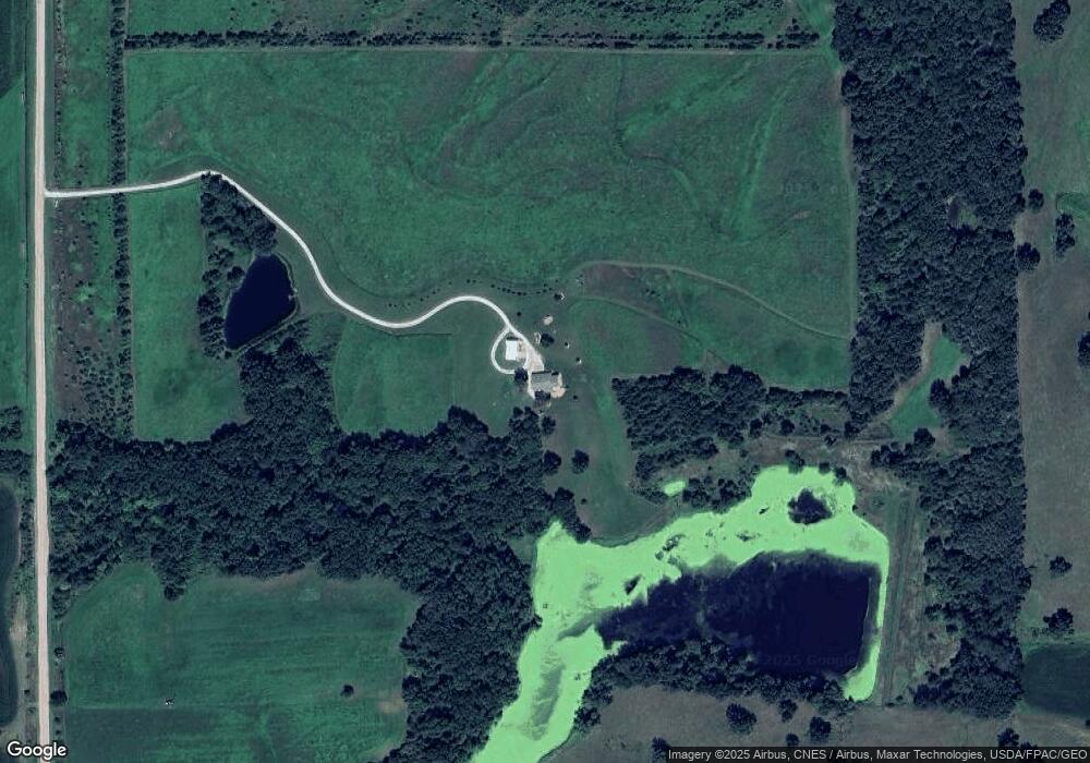
Map
Nearby Homes
- 26043 Nuthatch Ave
- 28517 300th St
- 300th St
- 0000 Mahogany Ave
- 000 300th St
- 152 A Iowa 2
- 30 A Raven Ave
- 40 A Quail Ave
- 702 S Washington St
- 1106 E Franklin St
- 293rd Street
- 406 E Chestnut St
- 707 E Franklin St
- 30 Raven Ave
- 502 S West St
- 293rd Street
- 0000 Highway 63
- 408 W Chestnut St
- 601 W Chestnut St
- 603 W Walnut St