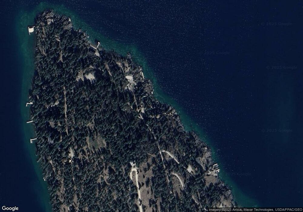
27608 Burnt Tree Ln Polson, MT 59860
Estimated Value: $750,000 - $2,749,000
2
Beds
1
Bath
605
Sq Ft
$2,564/Sq Ft
Est. Value
About This Home
This home is located at 27608 Burnt Tree Ln, Polson, MT 59860 and is currently estimated at $1,551,091, approximately $2,563 per square foot. 27608 Burnt Tree Ln is a home with nearby schools including Cherry Valley School, Linderman Elementary School, and Polson Middle School (7-8).
Ownership History
Date
Name
Owned For
Owner Type
Purchase Details
Closed on
May 12, 2025
Sold by
Jensen Michael and Jensen Luann
Bought by
Jjjv Llc
Current Estimated Value
Purchase Details
Closed on
Jun 8, 2018
Sold by
Mckinney Evan and Mckinney Diana
Bought by
Jensen Michael and Jensen Luann
Home Financials for this Owner
Home Financials are based on the most recent Mortgage that was taken out on this home.
Original Mortgage
$390,000
Interest Rate
4.5%
Mortgage Type
New Conventional
Create a Home Valuation Report for This Property
The Home Valuation Report is an in-depth analysis detailing your home's value as well as a comparison with similar homes in the area
Purchase History
| Date | Buyer | Sale Price | Title Company |
|---|---|---|---|
| Jjjv Llc | -- | None Listed On Document | |
| Jensen Michael | -- | None Available |
Source: Public Records
Mortgage History
| Date | Status | Borrower | Loan Amount |
|---|---|---|---|
| Previous Owner | Jensen Michael | $390,000 |
Source: Public Records
Tax History Compared to Growth
Tax History
| Year | Tax Paid | Tax Assessment Tax Assessment Total Assessment is a certain percentage of the fair market value that is determined by local assessors to be the total taxable value of land and additions on the property. | Land | Improvement |
|---|---|---|---|---|
| 2025 | $5,901 | $1,238,800 | $0 | $0 |
| 2024 | $4,315 | $628,500 | $0 | $0 |
| 2023 | $4,054 | $628,500 | $0 | $0 |
| 2022 | $3,609 | $482,900 | $0 | $0 |
| 2021 | $3,729 | $482,900 | $0 | $0 |
| 2020 | $3,130 | $368,200 | $0 | $0 |
| 2019 | $3,074 | $350,100 | $0 | $0 |
| 2018 | $3,047 | $351,700 | $0 | $0 |
| 2017 | $2,771 | $351,700 | $0 | $0 |
| 2016 | $2,543 | $299,100 | $0 | $0 |
| 2015 | $2,434 | $299,100 | $0 | $0 |
| 2014 | $2,164 | $187,243 | $0 | $0 |
Source: Public Records
Map
Nearby Homes
- NHN (Lot 5) Burnt Tree Ln
- 29137 Rocky Point Rd
- Nhn Rocky Point Rd
- 44625 Wild Horse Island Ln
- 40961 Us Highway 93
- 42827 Ponderosa Way
- Nhn Blue Spruce Dr
- 41001 Canyon View Dr
- 32162 Rocky Point Rd
- 31009 Canyon View Place
- 31402 Rocky Shores & 32162 Rocky Point Road Ln
- 31402 Rocky Shores Ln
- LOT 55 Jette Meadow Rd
- 34636 U S 93
- 31861 Meadow Rd
- 32994 Meadow Rd
- 41322 Mello Cove Ln
- Nhn 6th St E
- NHN N Reservoir Rd Unit Parcel 1-A
- NHN N Reservoir Rd Unit Parcel 1-B
- 27572 Burnt Tree Ln
- 27614 Burnt Tree Ln
- 27594 Burnt Tree Ln
- Lot 5 B5 Burnt Tree Ln
- 29726 White Swan Rd
- 27643 White Swan Rd
- 27671 White Swan Rd
- White Swan White Swan Rd
- Nhn Burnt Tree Ln Unit (Lot 6)
- Nhn Burnt Tree Ln
- 27468 White Swan Rd
- 2777 White Swan Rd
- 2342 White Swan Rd
- 39446 Peregrine Ln
- Nhn White Swan Ln
- 39402 Peregrine Ln
- 27972 White Swan Rd
- 39590 Peregrine Ln
- 39605 Peregrine Ln
- 0 White Swan Villa Unit 289581
