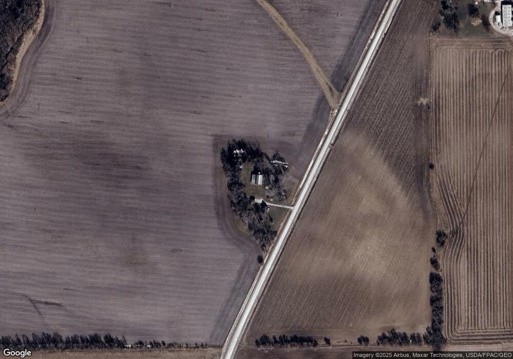
2761 Brandon Diagonal Blvd Independence, IA 50644
Estimated Value: $109,000 - $256,203
3
Beds
2
Baths
1,378
Sq Ft
$142/Sq Ft
Est. Value
About This Home
This home is located at 2761 Brandon Diagonal Blvd, Independence, IA 50644 and is currently estimated at $195,801, approximately $142 per square foot. 2761 Brandon Diagonal Blvd is a home located in Buchanan County with nearby schools including West Elementary School, East Elementary School, and Independence Junior/Senior High School.
Ownership History
Date
Name
Owned For
Owner Type
Purchase Details
Closed on
Nov 20, 2020
Sold by
Greenley Robert M and Greenley Jamie L
Bought by
Greenley Joel D and Greenley Molly P
Current Estimated Value
Purchase Details
Closed on
Nov 9, 2009
Sold by
Greenley Morris I and Greenley Janet E
Bought by
Greenley Pamela J and Cumminngs Robert
Home Financials for this Owner
Home Financials are based on the most recent Mortgage that was taken out on this home.
Original Mortgage
$40,000
Interest Rate
4.9%
Mortgage Type
New Conventional
Create a Home Valuation Report for This Property
The Home Valuation Report is an in-depth analysis detailing your home's value as well as a comparison with similar homes in the area
Home Values in the Area
Average Home Value in this Area
Purchase History
| Date | Buyer | Sale Price | Title Company |
|---|---|---|---|
| Greenley Joel D | -- | None Available | |
| Greenley Farms Llc | -- | None Available | |
| Greenley Pamela J | $50,000 | None Available |
Source: Public Records
Mortgage History
| Date | Status | Borrower | Loan Amount |
|---|---|---|---|
| Previous Owner | Greenley Pamela J | $40,000 |
Source: Public Records
Tax History Compared to Growth
Tax History
| Year | Tax Paid | Tax Assessment Tax Assessment Total Assessment is a certain percentage of the fair market value that is determined by local assessors to be the total taxable value of land and additions on the property. | Land | Improvement |
|---|---|---|---|---|
| 2025 | $1,924 | $186,790 | $51,000 | $135,790 |
| 2024 | $1,924 | $165,200 | $43,010 | $122,190 |
| 2023 | $1,842 | $163,760 | $43,010 | $120,750 |
| 2022 | $1,754 | $136,670 | $34,380 | $102,290 |
| 2021 | $1,774 | $136,670 | $34,380 | $102,290 |
| 2020 | $1,774 | $125,890 | $31,250 | $94,640 |
| 2019 | $1,858 | $125,890 | $31,250 | $94,640 |
| 2018 | $1,742 | $124,930 | $31,250 | $93,680 |
| 2017 | $1,566 | $124,930 | $31,250 | $93,680 |
| 2016 | $1,536 | $109,310 | $20,830 | $88,480 |
| 2015 | $1,536 | $109,310 | $20,830 | $88,480 |
| 2014 | $1,586 | $109,310 | $20,830 | $88,480 |
Source: Public Records
Map
Nearby Homes
- 2554 Henley Ave
- 2983 Harrison Ave
- 2101 290th St
- 0 Lucas Ave
- 202 South St
- 2325 Jamestown Ave
- 1020 6th Ave SW
- 415 10th St SW
- 3054 Lucas Ave
- 2086 3 Elms Park Rd
- 810 3rd Ave SW
- 206 8th St SW
- 312 7th Ave NE
- 406 6th Ave SW
- 513 4th St SW
- 508 2nd Ave SW
- 721 8th St SE
- 519 3rd St SE
- 401 Obrien Ct NW
- 400 2nd St NW