2765 Snowdrift Rd Helena, MT 59602
Estimated Value: $268,321 - $503,000
2
Beds
1
Bath
583
Sq Ft
$656/Sq Ft
Est. Value
About This Home
This home is located at 2765 Snowdrift Rd, Helena, MT 59602 and is currently estimated at $382,330, approximately $655 per square foot. 2765 Snowdrift Rd is a home located in Lewis and Clark County with nearby schools including Jim Darcy Elementary School and C.R. Anderson Middle School.
Ownership History
Date
Name
Owned For
Owner Type
Purchase Details
Closed on
Apr 8, 2025
Sold by
Wells Michael Paul
Bought by
Snowdrift John J
Current Estimated Value
Purchase Details
Closed on
Aug 5, 2016
Sold by
Fawley Family Llc
Bought by
Wells Michael P
Home Financials for this Owner
Home Financials are based on the most recent Mortgage that was taken out on this home.
Original Mortgage
$65,000
Interest Rate
4.42%
Mortgage Type
Adjustable Rate Mortgage/ARM
Create a Home Valuation Report for This Property
The Home Valuation Report is an in-depth analysis detailing your home's value as well as a comparison with similar homes in the area
Home Values in the Area
Average Home Value in this Area
Purchase History
| Date | Buyer | Sale Price | Title Company |
|---|---|---|---|
| Snowdrift John J | -- | None Listed On Document | |
| Snowdrift John J | -- | None Listed On Document | |
| Wells Michael P | -- | First Montana Land Title Co |
Source: Public Records
Mortgage History
| Date | Status | Borrower | Loan Amount |
|---|---|---|---|
| Previous Owner | Wells Michael P | $65,000 |
Source: Public Records
Tax History Compared to Growth
Tax History
| Year | Tax Paid | Tax Assessment Tax Assessment Total Assessment is a certain percentage of the fair market value that is determined by local assessors to be the total taxable value of land and additions on the property. | Land | Improvement |
|---|---|---|---|---|
| 2025 | $942 | $216,140 | $0 | $0 |
| 2024 | $1,370 | $172,170 | $0 | $0 |
| 2023 | $1,495 | $172,170 | $0 | $0 |
| 2022 | $1,288 | $125,300 | $0 | $0 |
| 2021 | $1,158 | $125,300 | $0 | $0 |
| 2020 | $1,104 | $98,870 | $0 | $0 |
| 2019 | $1,151 | $98,870 | $0 | $0 |
| 2018 | $1,227 | $109,240 | $0 | $0 |
| 2017 | $901 | $109,240 | $0 | $0 |
| 2016 | $799 | $75,859 | $0 | $0 |
| 2015 | $647 | $75,859 | $0 | $0 |
| 2014 | $862 | $56,011 | $0 | $0 |
Source: Public Records
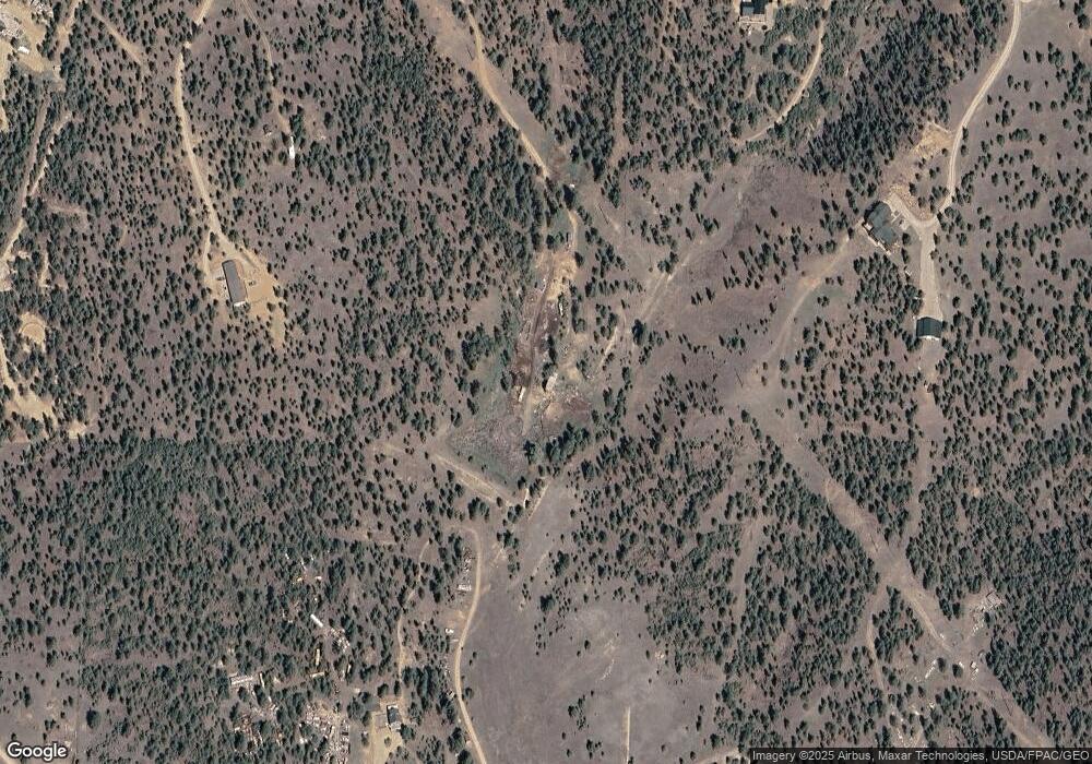
Map
Nearby Homes
- 6520 Noble Ln
- 6635 Antler Way
- 6020 Deshka Dr
- 2240 Kenai Rd
- 29 Sweetwater Rd
- 5825 Derby Dr
- 3173 Arabian Rd
- 3252 Arabian Rd
- 3217 Arabian Rd
- 5785 Barbaro Ct
- 5680 Collins Dr
- 5701 Collins Dr
- 6830 Black Sandy Loop
- 5601 Falcon Rd
- 5610 Hauser Dam Rd
- 5626 Rainbow Dr
- 8615 N Montana Ave
- 1370 Ranchview Rd
- 1365 Angus Rd
- 8055 Avocet Dr Unit A