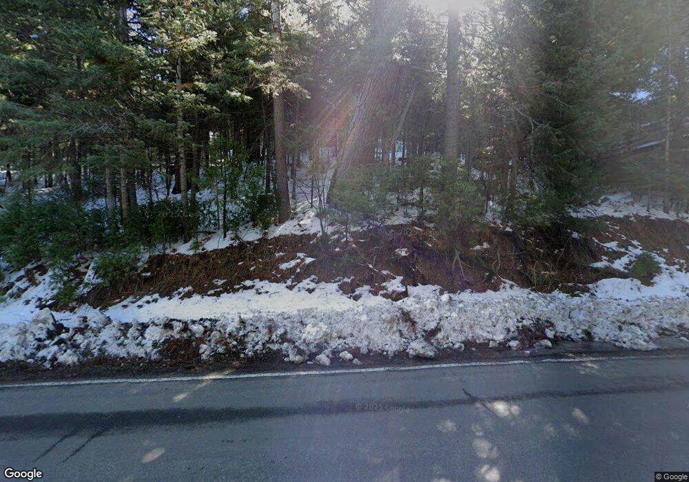
27651 State Highway 189 Rd Lake Arrowhead, CA 92352
Estimated Value: $1,286,787 - $1,744,000
7
Beds
5
Baths
3,386
Sq Ft
$431/Sq Ft
Est. Value
About This Home
This home is located at 27651 State Highway 189 Rd, Lake Arrowhead, CA 92352 and is currently estimated at $1,460,697, approximately $431 per square foot. 27651 State Highway 189 Rd is a home with nearby schools including Lake Arrowhead Elementary School, Mary P. Henck Intermediate School, and Rim Of The World Senior High School.
Ownership History
Date
Name
Owned For
Owner Type
Purchase Details
Closed on
Aug 3, 2007
Sold by
Guajardo Ricardo and Guajardo Ana M
Bought by
Guajardo Ricardo and Guajardo Ana
Current Estimated Value
Purchase Details
Closed on
Apr 3, 2007
Sold by
Maynard Victor A
Bought by
Guajardo Ricardo and Guajardo Ana M
Create a Home Valuation Report for This Property
The Home Valuation Report is an in-depth analysis detailing your home's value as well as a comparison with similar homes in the area
Home Values in the Area
Average Home Value in this Area
Purchase History
| Date | Buyer | Sale Price | Title Company |
|---|---|---|---|
| Guajardo Ricardo | -- | None Available | |
| Guajardo Ricardo | $835,000 | First American Title Co |
Source: Public Records
Tax History Compared to Growth
Tax History
| Year | Tax Paid | Tax Assessment Tax Assessment Total Assessment is a certain percentage of the fair market value that is determined by local assessors to be the total taxable value of land and additions on the property. | Land | Improvement |
|---|---|---|---|---|
| 2025 | $11,150 | $1,038,336 | $803,875 | $234,461 |
| 2024 | $11,150 | $1,017,977 | $788,113 | $229,864 |
| 2023 | $11,042 | $998,017 | $772,660 | $225,357 |
| 2022 | $10,818 | $978,448 | $757,510 | $220,938 |
| 2021 | $10,700 | $959,263 | $742,657 | $216,606 |
| 2020 | $10,707 | $949,427 | $735,042 | $214,385 |
| 2019 | $10,422 | $930,810 | $720,629 | $210,181 |
| 2018 | $10,181 | $912,559 | $706,499 | $206,060 |
| 2017 | $9,991 | $894,666 | $692,646 | $202,020 |
| 2016 | $9,792 | $877,124 | $679,065 | $198,059 |
| 2015 | $11,082 | $863,949 | $668,865 | $195,084 |
| 2014 | $9,646 | $847,026 | $655,763 | $191,263 |
Source: Public Records
Map
Nearby Homes
- 197 Rocky Point Rd
- 27500 Highway 189 Unit 36
- 27500 Highway 189 Unit 83
- 161 Rocky Point Rd
- 282 Terrace Rd
- 27346 N Bay Rd
- 27844 Greenway Dr
- 0 Terrace Rd Unit IG25091707
- 0 Terrace Rd Unit 32500984
- 190 Cedar Cir
- 177 Shorewood Dr
- 177 Shorewood Dr
- 377 Hillside Rd
- 27828 Rainbow Dr
- 27409 N Bay Rd
- 465 Blue Jay Canyon Rd
- 435 Blue Jay Canyon Rd
- 425 Blue Jay Canyon Rd
- 710 Blue Jay Canyon Rd
- 306 Dolly Varden Dr
- 145 Castle Gate Rd
- 272 Arrow Wood Dr
- 271 Arrow Wood Dr
- 278 Arrow Wood Dr
- 263 Arrow Wood Dr
- 266 Arrow Wood Dr
- 19 Highway 58
- 180 Hwy 173 Unit 11
- 1100 St Hwy 173
- 1104 St Hwy 173
- 27669 Lakes Edge Rd
- 27500 Lakes Edge Rd Unit 36
- 260 Arrow Wood Dr
- 27363 Lakes Edge Rd
- 282 Burnt Mill Rd
- 129 Rocky Point Rd
- 288 Burnt Mill Rd
- 133 Rocky Point Rd
- 294 Burnt Mill Rd
- 254 Arrow Wood Dr
