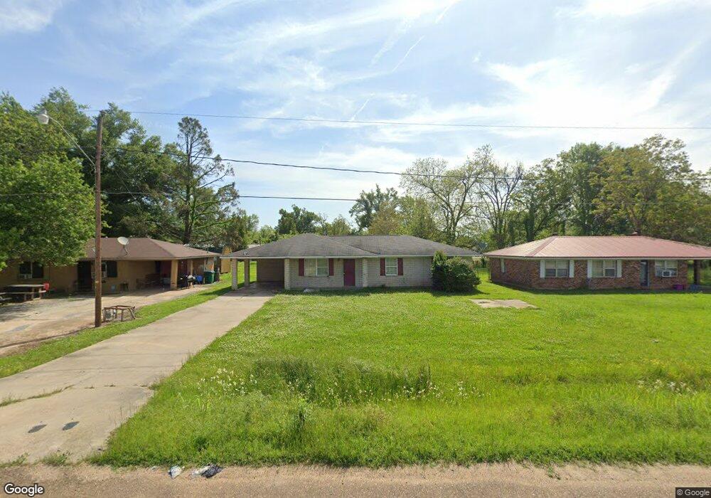
27667 Highway 15 Ferriday, LA 71334
Estimated Value: $86,000 - $431,000
--
Bed
--
Bath
--
Sq Ft
10,498
Sq Ft Lot
About This Home
This home is located at 27667 Highway 15, Ferriday, LA 71334 and is currently estimated at $229,304. 27667 Highway 15 is a home located in Concordia Parish with nearby schools including Miss Lou Christian Academy.
Ownership History
Date
Name
Owned For
Owner Type
Purchase Details
Closed on
Jan 3, 2017
Sold by
Spillers Spillers L and Spillers Phylis T
Bought by
Sowell Luvenson
Current Estimated Value
Home Financials for this Owner
Home Financials are based on the most recent Mortgage that was taken out on this home.
Original Mortgage
$110,000
Outstanding Balance
$93,624
Interest Rate
4.13%
Mortgage Type
USDA
Estimated Equity
$135,680
Purchase Details
Closed on
Sep 21, 2007
Sold by
Macon Ridge Communitey Development Corpo
Bought by
Mckeel Green Jawanda
Home Financials for this Owner
Home Financials are based on the most recent Mortgage that was taken out on this home.
Original Mortgage
$126,681
Interest Rate
6.55%
Create a Home Valuation Report for This Property
The Home Valuation Report is an in-depth analysis detailing your home's value as well as a comparison with similar homes in the area
Home Values in the Area
Average Home Value in this Area
Purchase History
| Date | Buyer | Sale Price | Title Company |
|---|---|---|---|
| Sowell Luvenson | $110,000 | -- | |
| Mckeel Green Jawanda | $15,500 | -- |
Source: Public Records
Mortgage History
| Date | Status | Borrower | Loan Amount |
|---|---|---|---|
| Open | Sowell Luvenson | $110,000 | |
| Previous Owner | Mckeel Green Jawanda | $126,681 |
Source: Public Records
Tax History Compared to Growth
Tax History
| Year | Tax Paid | Tax Assessment Tax Assessment Total Assessment is a certain percentage of the fair market value that is determined by local assessors to be the total taxable value of land and additions on the property. | Land | Improvement |
|---|---|---|---|---|
| 2024 | $350 | $10,600 | $770 | $9,830 |
| 2023 | $589 | $10,600 | $770 | $9,830 |
| 2022 | $1,326 | $10,600 | $770 | $9,830 |
| 2021 | $1,322 | $10,600 | $770 | $9,830 |
| 2020 | $1,321 | $10,600 | $770 | $9,830 |
| 2019 | $1,330 | $10,600 | $770 | $9,830 |
| 2018 | $1,329 | $10,600 | $770 | $9,830 |
| 2017 | $1,333 | $10,600 | $770 | $9,830 |
| 2015 | $1,615 | $12,860 | $770 | $12,090 |
| 2014 | $1,608 | $12,860 | $770 | $12,090 |
Source: Public Records
Map
Nearby Homes
- 305 Florida Ave
- 218 Greathouse St
- 106 Daisy Rd
- 0 State Route 568
- 2829 State Route 568
- 109 Shady Ln
- 186 Persimmon Mill Rd
- 203 Lynwood Dr
- 125 Mallard Landing
- 2216 A EE E Wallace Blvd
- 219 Crestview Dr
- 1035 Highway 568
- 100 Apple Dr
- 112 Apple St
- 125 Sycamore Dr
- 0 Par Road 5a-83a
- 1457 Highway 568
- 162 Pecania Dr
- 1603 Highway 568
- 1669 Highway 568