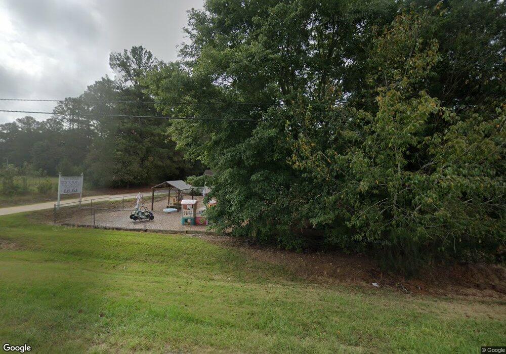
2767 Roanoke Rd Lagrange, GA 30240
Estimated Value: $187,737 - $247,000
3
Beds
2
Baths
1,544
Sq Ft
$143/Sq Ft
Est. Value
About This Home
This home is located at 2767 Roanoke Rd, Lagrange, GA 30240 and is currently estimated at $220,934, approximately $143 per square foot. 2767 Roanoke Rd is a home located in Troup County with nearby schools including Berta Weathersbee Elementary School, Whitesville Road Elementary School, and Long Cane Elementary School.
Ownership History
Date
Name
Owned For
Owner Type
Purchase Details
Closed on
Nov 21, 2002
Sold by
Rhonda E Crowder
Bought by
Crowder Bobby L
Current Estimated Value
Purchase Details
Closed on
Nov 20, 2002
Sold by
Paulette C Crowder
Bought by
Rhonda E Crowder
Purchase Details
Closed on
Jun 13, 2001
Sold by
Joel Galdney Iii Etal
Bought by
Paulette C Crowder
Purchase Details
Closed on
Jan 20, 2000
Sold by
Joel D Gladney
Bought by
Joel Galdney Iii Etal
Purchase Details
Closed on
Oct 9, 1992
Bought by
Joel D Gladney
Purchase Details
Closed on
Jan 1, 1948
Sold by
Otis Mccord
Create a Home Valuation Report for This Property
The Home Valuation Report is an in-depth analysis detailing your home's value as well as a comparison with similar homes in the area
Purchase History
| Date | Buyer | Sale Price | Title Company |
|---|---|---|---|
| Crowder Bobby L | -- | -- | |
| Rhonda E Crowder | -- | -- | |
| Paulette C Crowder | $37,500 | -- | |
| Joel Galdney Iii Etal | -- | -- | |
| Joel D Gladney | -- | -- | |
| -- | -- | -- |
Source: Public Records
Tax History
| Year | Tax Paid | Tax Assessment Tax Assessment Total Assessment is a certain percentage of the fair market value that is determined by local assessors to be the total taxable value of land and additions on the property. | Land | Improvement |
|---|---|---|---|---|
| 2025 | $1,753 | $69,132 | $4,880 | $64,252 |
| 2024 | $1,610 | $61,016 | $4,880 | $56,136 |
| 2023 | $1,431 | $54,476 | $4,880 | $49,596 |
| 2022 | $1,387 | $54,796 | $4,880 | $49,916 |
| 2021 | $1,112 | $38,848 | $3,480 | $35,368 |
| 2020 | $1,112 | $38,848 | $3,480 | $35,368 |
| 2019 | $1,089 | $38,080 | $3,480 | $34,600 |
| 2018 | $1,062 | $35,224 | $3,480 | $31,744 |
| 2017 | $1,001 | $35,176 | $3,480 | $31,696 |
| 2013 | -- | $34,934 | $3,504 | $31,430 |
Source: Public Records
Map
Nearby Homes
- 336 Whitaker Rd
- 117 Brookwood Dr
- 223 Pinehaven Dr
- 427 Fling Rd
- 509 Connie Dr
- 104 Spring Valley Dr
- 8 Horace Carter Rd
- 200 Cheyenne Dr
- 203 Shawnee Dr
- 0 Bradfield Dr Unit 10568803
- 3 Reed Dr
- 641 Whitaker Rd
- 808 S Fling Rd
- 124 Foxdale Dr
- 0 Unit 10514554
- 112 Foxdale Dr
- 104 Bridlewood Dr
- 217 Highland Trail
- 2239 Pegasus Pkwy
- 4.5 ACRES Whatley Rd N
- 2815 Roanoke Rd
- 0 Roanoke Rd Unit 8.246 Ac 8434764
- 0 Roanoke Rd Unit 7229490
- 0 Roanoke Rd Unit 3131621
- 0 Roanoke Rd Unit 7082581
- 0 Roanoke Rd Unit LT 12 7124367
- 0 Roanoke Rd Unit 8075991
- 0 Roanoke Rd Unit 7587283
- 0 Roanoke Rd Unit 8110348
- 0 Roanoke Rd Unit 2.008+/- Ac 8170512
- 0 Roanoke Rd
- 0 Roanoke Rd Unit 20151209
- 0 Roanoke Rd Unit 10124922
- 0 Roanoke Rd Unit 10122874
- 0 Roanoke Rd Unit 52603334
- 0 Roanoke Rd Unit 20007400
- 0 Whitaker Rd Unit 3137676
- 0 Whitaker Rd Unit 8826970
- 38 Fling Rd
- 31 Fling Rd
Your Personal Tour Guide
Ask me questions while you tour the home.