2767 Wing Rd Hastings, MI 49058
Estimated Value: $303,000 - $342,222
2
Beds
2
Baths
1,120
Sq Ft
$288/Sq Ft
Est. Value
About This Home
This home is located at 2767 Wing Rd, Hastings, MI 49058 and is currently estimated at $322,741, approximately $288 per square foot. 2767 Wing Rd is a home located in Barry County with nearby schools including McFall Elementary School, Lee Elementary School, and Page Elementary School.
Ownership History
Date
Name
Owned For
Owner Type
Purchase Details
Closed on
Oct 22, 2020
Sold by
Eyvonne Taggart Joan
Bought by
Taggart Dwayne R
Current Estimated Value
Purchase Details
Closed on
Sep 29, 2020
Sold by
Eyvonne Taggart Joan
Bought by
Taggart Dwayne R
Purchase Details
Closed on
Sep 2, 2020
Sold by
Ringleka Rebecca and Estate Of Joan Eyvonne Taggart
Bought by
Taggart Dwayne R
Purchase Details
Closed on
Jan 10, 2014
Sold by
Taggart Joan E
Bought by
Taggart Dwayne R
Purchase Details
Closed on
Oct 15, 2012
Sold by
Taggart Richard W
Bought by
Taggart Joan E
Create a Home Valuation Report for This Property
The Home Valuation Report is an in-depth analysis detailing your home's value as well as a comparison with similar homes in the area
Home Values in the Area
Average Home Value in this Area
Purchase History
| Date | Buyer | Sale Price | Title Company |
|---|---|---|---|
| Taggart Dwayne R | -- | Tripp & Tagg | |
| Taggart Dwayne R | -- | Tripp & Tagg | |
| Taggart Dwayne R | -- | None Available | |
| Taggart Dwayne R | -- | None Available | |
| Taggart Joan E | -- | None Available |
Source: Public Records
Tax History Compared to Growth
Tax History
| Year | Tax Paid | Tax Assessment Tax Assessment Total Assessment is a certain percentage of the fair market value that is determined by local assessors to be the total taxable value of land and additions on the property. | Land | Improvement |
|---|---|---|---|---|
| 2025 | $4,159 | $167,200 | $0 | $0 |
| 2024 | $4,159 | $151,800 | $0 | $0 |
| 2023 | $1,965 | $117,100 | $0 | $0 |
| 2022 | $1,965 | $117,100 | $0 | $0 |
| 2021 | $1,947 | $107,800 | $0 | $0 |
| 2020 | $1,928 | $101,400 | $0 | $0 |
| 2019 | $1,898 | $96,300 | $0 | $0 |
| 2018 | $1,818 | $92,500 | $48,800 | $43,700 |
| 2017 | $1,818 | $92,500 | $0 | $0 |
| 2016 | -- | $91,700 | $0 | $0 |
| 2015 | -- | $83,800 | $0 | $0 |
| 2014 | -- | $83,800 | $0 | $0 |
Source: Public Records
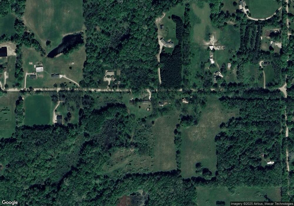
Map
Nearby Homes
- 3845 Wood School Rd
- 3541 Doctor Dr
- 3490 Wood School Rd
- Parcel 1 Leaf Ln
- Parcel 2 Leaf Ln
- Parcel 10 Leaf Ln
- Parcel 9 Leaf Ln
- Parcel 8 Leaf Ln
- 3192 W Sisson Rd
- 5750 Wood School Rd
- 3350 Fighter Rd
- 2539 Daisy Ln
- 3705 Josie Ln Unit 10
- 2673 Wildflower Dr
- 3510 Parmalee Rd
- 2138 Rozell Dr
- V/L Lot C Wildwood Dr
- V/L Lot B Wildwood Dr
- V/L N Ridge Ct
- 2682 Quakezik St
- 2735 Wing Rd
- 2611 Wing Rd
- 2834 Wing Rd
- 2746 Wing Rd
- 2622 Wing Rd
- 2878 Wing Rd
- 3000 Wing Rd
- 2937 Wing Rd
- 2976 Wing Rd
- 4507 Buehler Rd
- 4411 Buehler Rd
- 2542 Wing Rd
- 4633 Buehler Rd
- 4575 Buehler Rd
- 4601 Buehler Rd
- 0 Buehler Rd Unit M18042825
- 0 Buehler Rd Unit PAR D 3488434
- 0 Buehler Rd Unit PAR C 3475136
- 0 Buehler Rd Unit PAR G 3441504
- 0 Buehler Rd Unit PAR G 3437893