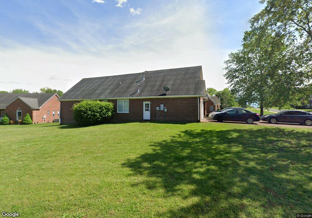
2768 New Port Royal Rd Thompsons Station, TN 37179
Estimated Value: $522,000 - $600,000
--
Bed
3
Baths
2,268
Sq Ft
$247/Sq Ft
Est. Value
About This Home
This home is located at 2768 New Port Royal Rd, Thompsons Station, TN 37179 and is currently estimated at $559,465, approximately $246 per square foot. 2768 New Port Royal Rd is a home located in Williamson County with nearby schools including Primrose School of Spring Hill.
Ownership History
Date
Name
Owned For
Owner Type
Purchase Details
Closed on
Dec 5, 2022
Sold by
Pirouette Properties Llc
Bought by
Ketschke Rik
Current Estimated Value
Purchase Details
Closed on
Nov 3, 1998
Sold by
Ketschke Enterprises Inc
Bought by
Pirouette Properties Llc
Home Financials for this Owner
Home Financials are based on the most recent Mortgage that was taken out on this home.
Original Mortgage
$157,613
Interest Rate
6.65%
Purchase Details
Closed on
Oct 24, 1997
Sold by
Pratt Builders Inc
Bought by
Ketschke Enterprises Inc
Home Financials for this Owner
Home Financials are based on the most recent Mortgage that was taken out on this home.
Original Mortgage
$156,000
Interest Rate
7.55%
Create a Home Valuation Report for This Property
The Home Valuation Report is an in-depth analysis detailing your home's value as well as a comparison with similar homes in the area
Home Values in the Area
Average Home Value in this Area
Purchase History
| Date | Buyer | Sale Price | Title Company |
|---|---|---|---|
| Ketschke Rik | -- | Phoenix Title | |
| Pirouette Properties Llc | $157,613 | -- | |
| Ketschke Enterprises Inc | $27,500 | -- |
Source: Public Records
Mortgage History
| Date | Status | Borrower | Loan Amount |
|---|---|---|---|
| Previous Owner | Pirouette Properties Llc | $157,613 | |
| Previous Owner | Ketschke Enterprises Inc | $156,000 |
Source: Public Records
Tax History Compared to Growth
Tax History
| Year | Tax Paid | Tax Assessment Tax Assessment Total Assessment is a certain percentage of the fair market value that is determined by local assessors to be the total taxable value of land and additions on the property. | Land | Improvement |
|---|---|---|---|---|
| 2025 | $699 | $140,775 | $38,750 | $102,025 |
| 2024 | $699 | $94,550 | $20,000 | $74,550 |
| 2023 | $699 | $94,550 | $20,000 | $74,550 |
| 2022 | $1,730 | $94,550 | $20,000 | $74,550 |
| 2021 | $1,730 | $94,550 | $20,000 | $74,550 |
| 2020 | $1,538 | $71,200 | $15,000 | $56,200 |
| 2019 | $1,538 | $71,200 | $15,000 | $56,200 |
| 2018 | $1,488 | $71,200 | $15,000 | $56,200 |
| 2017 | $1,474 | $71,200 | $15,000 | $56,200 |
| 2016 | $1,452 | $71,200 | $15,000 | $56,200 |
| 2015 | -- | $59,450 | $12,500 | $46,950 |
| 2014 | -- | $59,450 | $12,500 | $46,950 |
Source: Public Records
Map
Nearby Homes
- 2785 Rutland Ct
- 2165 Loudenslager Dr
- 2836 Pedigo Place
- 2184 Loudenslager Dr
- 2863 Windy Way
- 2127 Loudenslager Dr
- 1083 Auldridge Dr
- 2112 Loudenslager Dr
- 403 Preakness Dr
- 2935 Stewart Campbell Point
- 2104 Loudenslager Dr
- 2641 Buckner Rd
- 2052 Hemlock Dr
- 446 Buckwood Ave W
- 307 Buckwood Ln N
- 303 Buckwood Ln N
- 309 Buckwood Ln W
- 464 Buckwood Ave W
- 317 Buckwood Ln N
- 456 Buckwood Ave N
- 2780 Rutland Ct
- 2775 Landcashire Ct
- 2784 Rutland Ct
- 2770 Landcashire Ct
- 2763 New Port Royal Rd
- 2790 Warwick Ct
- 2774 Landcashire Ct
- 2788 Rutland Ct
- 2778 Landcashire Ct
- 2760 New Port Royal Rd
- 2794 Warwick Ct
- 2837 Pedigo Place
- 2781 Rutland Ct
- 2738 Wales Ct
- 2761 New Port Royal Rd
- 2789 Rutland Ct
- 2841 Pedigo Place
- 2791 Warwick Ct
- 2756 New Port Royal Rd
- 2735 Wales Ct