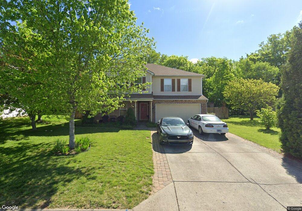
2769 Sutherland Dr Thompsons Station, TN 37179
Estimated Value: $517,000 - $603,000
--
Bed
4
Baths
3,018
Sq Ft
$184/Sq Ft
Est. Value
About This Home
This home is located at 2769 Sutherland Dr, Thompsons Station, TN 37179 and is currently estimated at $553,919, approximately $183 per square foot. 2769 Sutherland Dr is a home located in Williamson County with nearby schools including Primrose School of Spring Hill.
Ownership History
Date
Name
Owned For
Owner Type
Purchase Details
Closed on
Oct 30, 2003
Sold by
Centex Homes
Bought by
Cole Gregory S and Cole Phoebe J
Current Estimated Value
Home Financials for this Owner
Home Financials are based on the most recent Mortgage that was taken out on this home.
Original Mortgage
$172,239
Interest Rate
6%
Mortgage Type
FHA
Create a Home Valuation Report for This Property
The Home Valuation Report is an in-depth analysis detailing your home's value as well as a comparison with similar homes in the area
Home Values in the Area
Average Home Value in this Area
Purchase History
| Date | Buyer | Sale Price | Title Company |
|---|---|---|---|
| Cole Gregory S | $173,600 | -- |
Source: Public Records
Mortgage History
| Date | Status | Borrower | Loan Amount |
|---|---|---|---|
| Open | Cole Gregory S | $452,000 | |
| Closed | Cole Gregory S | $63,322 | |
| Closed | Cole Gregory | $264,000 | |
| Closed | Cole Gregory S | $27,350 | |
| Closed | Cole Gregory | $199,200 | |
| Closed | Cole Gregory S | $7,000 | |
| Closed | Cole Gregory S | $157,000 | |
| Closed | Cole Gregory S | $30,000 | |
| Closed | Cole Gregory S | $36,000 | |
| Closed | Cole Gregory S | $172,518 | |
| Closed | Cole Gregory S | $172,239 |
Source: Public Records
Tax History Compared to Growth
Tax History
| Year | Tax Paid | Tax Assessment Tax Assessment Total Assessment is a certain percentage of the fair market value that is determined by local assessors to be the total taxable value of land and additions on the property. | Land | Improvement |
|---|---|---|---|---|
| 2024 | $660 | $89,350 | $18,750 | $70,600 |
| 2023 | $660 | $89,350 | $18,750 | $70,600 |
| 2022 | $1,635 | $89,350 | $18,750 | $70,600 |
| 2021 | $1,635 | $89,350 | $18,750 | $70,600 |
| 2020 | $1,393 | $64,500 | $11,250 | $53,250 |
| 2019 | $1,393 | $64,500 | $11,250 | $53,250 |
| 2018 | $1,348 | $64,500 | $11,250 | $53,250 |
| 2017 | $1,335 | $64,500 | $11,250 | $53,250 |
| 2016 | $0 | $64,500 | $11,250 | $53,250 |
| 2015 | -- | $47,250 | $8,750 | $38,500 |
| 2014 | -- | $47,250 | $8,750 | $38,500 |
Source: Public Records
Map
Nearby Homes
- 2131 Carlton Ln
- 1252 Annapolis Cir
- 458 Buckwood Ave W
- 311 Buckwood Ln N
- 452 Buckwood Ave W
- 465 Buckwood Ave
- 1317 Branchside Ct
- 1140 Summerville Cir
- 1325 Branchside Ct
- 1710 Tellico Dr
- 462 Buckwood Ave W
- 467 Buckwood Ave E
- 466 Buckwood Ave W
- 454 Buckwood Ave E
- 457 Buckwood Ave E
- 303 Buckwood Ln
- 450 Buckwood Ave W
- 321 Buckwood Ln N
- 440 Buckwood Ave W
- 461 Buckwood Ave E
- 2767 Sutherland Dr
- 2771 Sutherland Dr
- 2765 Sutherland Dr
- 2765 Sutherland Dr
- 2134 Carlton Ln
- 2773 Sutherland Dr
- 1232 Annapolis Cir
- 1228 Annapolis Cir
- 2132 Carlton Ln
- 2775 Sutherland Dr
- 1236 Annapolis Cir
- 2135 Carlton Ln
- 2763 Sutherland Dr
- 2774 Sutherland Dr
- 1224 Annapolis Cir
- 2133 Carlton Ln
- 2130 Carlton Ln
- 1240 Annapolis Cir
- 2664 New Port Royal Rd
- 1220 Annapolis Cir