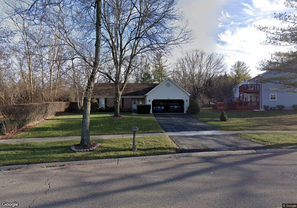
277 Foxmoor Rd Fox River Grove, IL 60021
Estimated Value: $355,000 - $457,000
3
Beds
2
Baths
1,472
Sq Ft
$267/Sq Ft
Est. Value
About This Home
This home is located at 277 Foxmoor Rd, Fox River Grove, IL 60021 and is currently estimated at $392,382, approximately $266 per square foot. 277 Foxmoor Rd is a home located in McHenry County with nearby schools including Algonquin Road Elementary School, Fox River Grove Middle School, and Cary Grove High School.
Ownership History
Date
Name
Owned For
Owner Type
Purchase Details
Closed on
Oct 13, 2010
Sold by
Labounty Gordon and Peart Michelle
Bought by
Waldo Charlie P
Current Estimated Value
Home Financials for this Owner
Home Financials are based on the most recent Mortgage that was taken out on this home.
Original Mortgage
$192,408
Outstanding Balance
$126,321
Interest Rate
4.25%
Mortgage Type
FHA
Estimated Equity
$266,061
Create a Home Valuation Report for This Property
The Home Valuation Report is an in-depth analysis detailing your home's value as well as a comparison with similar homes in the area
Home Values in the Area
Average Home Value in this Area
Purchase History
| Date | Buyer | Sale Price | Title Company |
|---|---|---|---|
| Waldo Charlie P | $195,000 | Fidelity National Title |
Source: Public Records
Mortgage History
| Date | Status | Borrower | Loan Amount |
|---|---|---|---|
| Open | Waldo Charlie P | $192,408 |
Source: Public Records
Tax History Compared to Growth
Tax History
| Year | Tax Paid | Tax Assessment Tax Assessment Total Assessment is a certain percentage of the fair market value that is determined by local assessors to be the total taxable value of land and additions on the property. | Land | Improvement |
|---|---|---|---|---|
| 2024 | $9,601 | $106,942 | $23,563 | $83,379 |
| 2023 | $9,242 | $95,646 | $21,074 | $74,572 |
| 2022 | $8,890 | $91,318 | $19,398 | $71,920 |
| 2021 | $8,296 | $85,074 | $18,072 | $67,002 |
| 2020 | $8,090 | $82,062 | $17,432 | $64,630 |
| 2019 | $7,811 | $78,544 | $16,685 | $61,859 |
| 2018 | $7,671 | $72,558 | $15,413 | $57,145 |
| 2017 | $7,528 | $68,354 | $14,520 | $53,834 |
| 2016 | $7,404 | $64,109 | $13,618 | $50,491 |
| 2013 | -- | $61,913 | $12,703 | $49,210 |
Source: Public Records
Map
Nearby Homes
- LOT 2 Asbury Ave
- 5 Jacqueline Ln
- 6 Jacqueline Ln
- Lot 1 Asbury Ave
- 346 Bristol Ln Unit 6361
- 500 Tower Place
- 460 Hunters Way
- 14 W Surrey Ln
- 422 Lincoln Ave Unit A
- 806 Norge Pkwy
- 111 Grace Ln
- 300 Opatrny Dr Unit 122
- 300 Opatrny Dr Unit 107
- 209 Gladys Ave
- 1034 Heather Ct
- 101 Beachway Dr
- 208 S River Rd
- 503 N River Rd
- 9209 Jasmine Way
- 911 Johnson St
- 275 Yorkshire Dr
- 273 Yorkshire Dr
- LOT 1 Foxmoor Rd
- 271 Yorkshire Dr
- 269 Yorkshire Dr
- 270 Yorkshire Dr
- 267 Yorkshire Dr
- 401 Asbury Ave
- 273 Foxmoor Rd
- 403 Asbury Ave
- 74 Chatham Ct
- 405 Asbury Ave
- 265 Yorkshire Dr
- 73 Chatham Ct
- 271 Foxmoor Rd
- 407 Asbury Ave
- 397 Asbury Ave
- 263 Yorkshire Dr
- 269 Foxmoor Rd
- 409 Asbury Ave