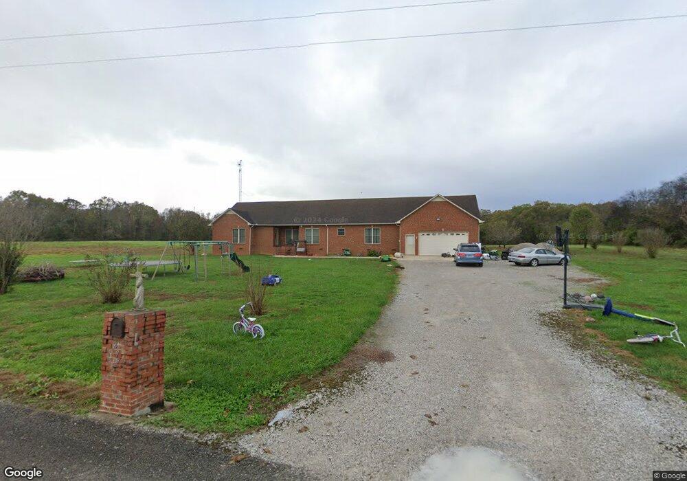
277 Hill Coulson Rd Decherd, TN 37324
Estimated Value: $473,000 - $763,000
Studio
4
Baths
2,296
Sq Ft
$270/Sq Ft
Est. Value
About This Home
This home is located at 277 Hill Coulson Rd, Decherd, TN 37324 and is currently estimated at $620,527, approximately $270 per square foot. 277 Hill Coulson Rd is a home located in Franklin County with nearby schools including North Middle School and Franklin County High School.
Ownership History
Date
Name
Owned For
Owner Type
Purchase Details
Closed on
Mar 13, 2015
Sold by
Palmer Ladonna M
Bought by
Ledford Scottie and Ledford Ladonna
Current Estimated Value
Purchase Details
Closed on
May 7, 2014
Sold by
Ledford Ladonna
Bought by
Hill Stanley Dewayne
Purchase Details
Closed on
Dec 9, 2008
Bought by
Ledford Ladonna Etvir Scottie Douglas Ledford
Purchase Details
Closed on
Aug 25, 1974
Bought by
Hill Stanley and Linda Diane
Purchase Details
Closed on
Aug 24, 1973
Purchase Details
Closed on
Jan 3, 1900
Create a Home Valuation Report for This Property
The Home Valuation Report is an in-depth analysis detailing your home's value as well as a comparison with similar homes in the area
Purchase History
| Date | Buyer | Sale Price | Title Company |
|---|---|---|---|
| Ledford Scottie | -- | -- | |
| Hill Stanley Dewayne | -- | -- | |
| Ledford Ladonna Etvir Scottie Douglas Ledford | $68,100 | -- | |
| Hill Stanley | -- | -- | |
| -- | -- | -- | |
| -- | -- | -- |
Source: Public Records
Tax History
| Year | Tax Paid | Tax Assessment Tax Assessment Total Assessment is a certain percentage of the fair market value that is determined by local assessors to be the total taxable value of land and additions on the property. | Land | Improvement |
|---|---|---|---|---|
| 2025 | $2,266 | $113,575 | $19,950 | $93,625 |
| 2024 | $2,266 | $113,575 | $19,950 | $93,625 |
| 2023 | $2,266 | $113,575 | $19,950 | $93,625 |
| 2022 | $2,130 | $113,575 | $19,950 | $93,625 |
| 2021 | $2,271 | $113,575 | $19,950 | $93,625 |
| 2020 | $2,271 | $78,875 | $14,850 | $64,025 |
| 2019 | $2,271 | $78,875 | $14,850 | $64,025 |
| 2018 | $2,109 | $78,875 | $14,850 | $64,025 |
| 2017 | $2,092 | $78,250 | $14,850 | $63,400 |
| 2016 | $1,941 | $72,600 | $13,700 | $58,900 |
| 2015 | $1,906 | $71,275 | $13,700 | $57,575 |
| 2014 | $688 | $25,731 | $0 | $0 |
Source: Public Records
Map
Nearby Homes
- 10028 Old Alto Hwy
- 774 Sherrell Rd
- 106 Wilder Chapel Rd
- 3310 Oak Grove Rd
- 3336 Oak Grove Rd
- 431 Rose Dr
- 460 Walls Ln
- 0 Old Alto Hwy Unit RTC3039048
- 1645 Oak Grove Rd
- 8084 Old Alto Hwy
- 7806 Old Alto Hwy
- 640 Dotson Cemetery Rd
- 0 Spur Rd Unit RTC3013780
- 0 Spur Rd Unit RTC3013804
- 0 Spur Rd Unit RTC3013799
- 0 Spur Rd Unit RTC2991940
- 0 Spur Rd Unit RTC3130647
- 0 Providence Rd
- 0 Dotson Cemetery Rd
- 836 Spur Rd
- 352 Hill Coulson Rd
- 344 Hill Coulson Rd
- 187 Hill Coulson Rd
- 2224 Wilder Chapel Rd
- 2336 Wilder Chapel Rd
- 1756 Wilder Chapel Rd
- 2380 Wilder Chapel Rd
- 2111 Wilder Chapel Rd
- 2002 Wilder Chapel Rd
- 1943 Wilder Chapel Rd
- 1997 Wilder Chapel Rd
- 2029 Wilder Chapel Rd
- 1805 Wilder Chapel Rd
- 1685 Wilder Chapel Rd
- 1604 Wilder Chapel Rd
- 1306 Rutledge Ford Rd
- 1883 Wilder Chapel Rd
- 1248 Rutledge Ford Rd
- 1186 Rutledge Ford Rd
- 1202 Rutledge Ford Rd
Your Personal Tour Guide
Ask me questions while you tour the home.