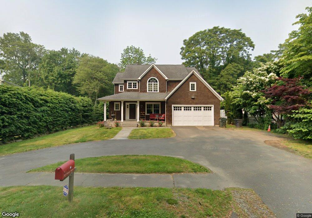
277 Pansy Rd Fairfield, CT 06824
University NeighborhoodEstimated Value: $882,000 - $1,280,000
4
Beds
3
Baths
2,419
Sq Ft
$477/Sq Ft
Est. Value
About This Home
This home is located at 277 Pansy Rd, Fairfield, CT 06824 and is currently estimated at $1,154,677, approximately $477 per square foot. 277 Pansy Rd is a home located in Fairfield County with nearby schools including Osborn Hill Elementary School, Fairfield Woods Middle School, and Fairfield Ludlowe High School.
Ownership History
Date
Name
Owned For
Owner Type
Purchase Details
Closed on
Mar 15, 2011
Sold by
Fuscaldo Alana
Bought by
Fuscaldo Marc
Current Estimated Value
Home Financials for this Owner
Home Financials are based on the most recent Mortgage that was taken out on this home.
Original Mortgage
$200,000
Interest Rate
4.83%
Purchase Details
Closed on
Feb 26, 2010
Sold by
Giacomazzi Joseph and Burdo Laura
Bought by
Fuscaldo Alana
Purchase Details
Closed on
Dec 8, 2009
Sold by
Giacomazzi Joseph and Burdo Laura
Bought by
Fuscaldo Alana
Purchase Details
Closed on
Jun 2, 1998
Sold by
Burdo Laura
Bought by
Jankousky Charles S
Create a Home Valuation Report for This Property
The Home Valuation Report is an in-depth analysis detailing your home's value as well as a comparison with similar homes in the area
Home Values in the Area
Average Home Value in this Area
Purchase History
| Date | Buyer | Sale Price | Title Company |
|---|---|---|---|
| Fuscaldo Marc | $400,000 | -- | |
| Fuscaldo Marc | $400,000 | -- | |
| Fuscaldo Alana | -- | -- | |
| Fuscaldo Alana | -- | -- | |
| Fuscaldo Alana | $357,000 | -- | |
| Fuscaldo Alana | $357,000 | -- | |
| Jankousky Charles S | $40,000 | -- | |
| Jankousky Charles S | $40,000 | -- |
Source: Public Records
Mortgage History
| Date | Status | Borrower | Loan Amount |
|---|---|---|---|
| Open | Jankousky Charles S | $200,000 | |
| Closed | Jankousky Charles S | $200,000 |
Source: Public Records
Tax History Compared to Growth
Tax History
| Year | Tax Paid | Tax Assessment Tax Assessment Total Assessment is a certain percentage of the fair market value that is determined by local assessors to be the total taxable value of land and additions on the property. | Land | Improvement |
|---|---|---|---|---|
| 2025 | $15,451 | $544,250 | $257,180 | $287,070 |
| 2024 | $15,185 | $544,250 | $257,180 | $287,070 |
| 2023 | $14,972 | $544,250 | $257,180 | $287,070 |
| 2022 | $14,825 | $544,250 | $257,180 | $287,070 |
| 2021 | $14,684 | $544,250 | $257,180 | $287,070 |
| 2020 | $13,647 | $509,390 | $211,120 | $298,270 |
| 2019 | $13,647 | $509,390 | $211,120 | $298,270 |
| 2018 | $13,428 | $509,390 | $211,120 | $298,270 |
| 2017 | $13,152 | $509,390 | $211,120 | $298,270 |
| 2016 | $12,964 | $509,390 | $211,120 | $298,270 |
| 2015 | $12,666 | $510,930 | $224,000 | $286,930 |
| 2014 | $12,467 | $510,930 | $224,000 | $286,930 |
Source: Public Records
Map
Nearby Homes
- 210 Pansy Rd
- 706 Judd St
- 28 Stillson Place
- 115 Mayfair Rd
- 2107 N Benson Rd
- 79 Mayfair Rd
- 1137 Stillson Rd
- 1165 Stillson Rd
- 1207 Stillson Rd
- 359 Reid St
- 31 High Ridge Rd
- 41 Pepperbush Ln
- 338 Orchard Hill Ln
- 42 Robin Cir
- 45 Robin Cir
- 25 Millspaugh Dr
- 180 Oakwood Dr
- 25 Country Rd
- 33 Middlebrook Place
- 1335 Black Rock Turnpike