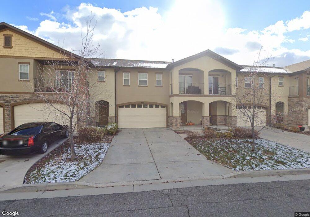
277 W 680 N Centerville, UT 84014
Estimated Value: $461,000 - $491,000
3
Beds
3
Baths
2,026
Sq Ft
$233/Sq Ft
Est. Value
About This Home
This home is located at 277 W 680 N, Centerville, UT 84014 and is currently estimated at $472,192, approximately $233 per square foot. 277 W 680 N is a home located in Davis County with nearby schools including Centerville Elementary, Centerville Jr High, and Viewmont High School.
Ownership History
Date
Name
Owned For
Owner Type
Purchase Details
Closed on
May 14, 2014
Sold by
Walker Brooke N
Bought by
Miller Sharen A
Current Estimated Value
Purchase Details
Closed on
Aug 13, 2009
Sold by
Cityview Pineac Village 227 Lp
Bought by
Walker Brooke N
Home Financials for this Owner
Home Financials are based on the most recent Mortgage that was taken out on this home.
Original Mortgage
$206,223
Interest Rate
5.3%
Mortgage Type
FHA
Create a Home Valuation Report for This Property
The Home Valuation Report is an in-depth analysis detailing your home's value as well as a comparison with similar homes in the area
Purchase History
| Date | Buyer | Sale Price | Title Company |
|---|---|---|---|
| Miller Sharen A | -- | Founders Title Co S | |
| Walker Brooke N | -- | Mountain View Title |
Source: Public Records
Mortgage History
| Date | Status | Borrower | Loan Amount |
|---|---|---|---|
| Previous Owner | Walker Brooke N | $206,223 |
Source: Public Records
Tax History
| Year | Tax Paid | Tax Assessment Tax Assessment Total Assessment is a certain percentage of the fair market value that is determined by local assessors to be the total taxable value of land and additions on the property. | Land | Improvement |
|---|---|---|---|---|
| 2025 | -- | $235,950 | $72,050 | $163,900 |
| 2024 | $2,527 | $229,900 | $55,000 | $174,900 |
| 2023 | $2,423 | $426,000 | $98,000 | $328,000 |
| 2022 | $2,449 | $237,050 | $52,800 | $184,250 |
| 2021 | $2,208 | $333,000 | $69,000 | $264,000 |
| 2020 | $1,957 | $295,000 | $64,500 | $230,500 |
| 2019 | $2,092 | $283,000 | $62,000 | $221,000 |
| 2018 | $1,835 | $251,000 | $58,000 | $193,000 |
| 2016 | $1,399 | $113,135 | $15,015 | $98,120 |
| 2015 | $1,393 | $106,205 | $15,015 | $91,190 |
| 2014 | $1,330 | $103,762 | $15,015 | $88,747 |
| 2013 | -- | $107,021 | $15,015 | $92,006 |
Source: Public Records
Map
Nearby Homes
- 292 W 680 N
- 281 W 650 N Unit B
- 303 W 650 N Unit I
- 282 W 605 N Unit I
- 751 Pheasantbrook Dr
- 763 Pheasantbrook Dr
- 781 Pheasantbrook Dr
- 833 N Lakeside Ln
- 775 Pheasantbrook Cir
- 67 W Pheasantbrook Dr
- 147 W 925 N
- 66 Brookside Ln
- 493 W 620 N Unit 122
- 507 W 620 N
- 271 Brookfield Ln
- 22 Creekside Ln
- 638 N 800 W
- 438 W 1050 N
- 56 W 200 N
- 1021 N 740 W
Your Personal Tour Guide
Ask me questions while you tour the home.