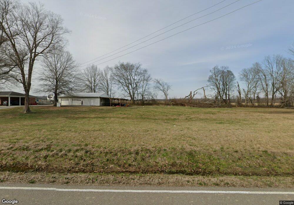
2770 Wake Forrest Rd Reagan, TN 38368
Estimated Value: $135,000 - $195,000
--
Bed
2
Baths
1,193
Sq Ft
$139/Sq Ft
Est. Value
About This Home
This home is located at 2770 Wake Forrest Rd, Reagan, TN 38368 and is currently estimated at $165,986, approximately $139 per square foot. 2770 Wake Forrest Rd is a home located in Henderson County.
Ownership History
Date
Name
Owned For
Owner Type
Purchase Details
Closed on
Dec 30, 2013
Sold by
Rushing Harold
Bought by
Miller Terry E
Current Estimated Value
Home Financials for this Owner
Home Financials are based on the most recent Mortgage that was taken out on this home.
Original Mortgage
$83,163
Outstanding Balance
$62,354
Interest Rate
4.29%
Mortgage Type
New Conventional
Estimated Equity
$103,632
Purchase Details
Closed on
Apr 21, 2008
Bought by
Rushing Harold and Rushing Christine
Purchase Details
Closed on
Jul 26, 2001
Sold by
Mae Carter Willie
Bought by
Rupprecht John A
Purchase Details
Closed on
Dec 6, 1999
Sold by
Kennedy Arvie A
Bought by
Carter Willie M
Purchase Details
Closed on
Feb 28, 1977
Bought by
Kennedy Arvie A
Create a Home Valuation Report for This Property
The Home Valuation Report is an in-depth analysis detailing your home's value as well as a comparison with similar homes in the area
Home Values in the Area
Average Home Value in this Area
Purchase History
| Date | Buyer | Sale Price | Title Company |
|---|---|---|---|
| Miller Terry E | $77,500 | -- | |
| Rushing Harold | $50,000 | -- | |
| Rupprecht John A | $57,000 | -- | |
| Carter Willie M | $52,000 | -- | |
| Kennedy Arvie A | -- | -- |
Source: Public Records
Mortgage History
| Date | Status | Borrower | Loan Amount |
|---|---|---|---|
| Open | Miller Terry E | $83,163 |
Source: Public Records
Tax History Compared to Growth
Tax History
| Year | Tax Paid | Tax Assessment Tax Assessment Total Assessment is a certain percentage of the fair market value that is determined by local assessors to be the total taxable value of land and additions on the property. | Land | Improvement |
|---|---|---|---|---|
| 2025 | $642 | $40,625 | $0 | $0 |
| 2024 | $642 | $40,625 | $6,800 | $33,825 |
| 2023 | $642 | $40,625 | $6,800 | $33,825 |
| 2022 | $533 | $22,475 | $3,200 | $19,275 |
| 2021 | $533 | $22,475 | $3,200 | $19,275 |
| 2020 | $533 | $22,475 | $3,200 | $19,275 |
| 2019 | $533 | $22,475 | $3,200 | $19,275 |
| 2018 | $461 | $20,200 | $3,200 | $17,000 |
| 2017 | $461 | $20,200 | $3,200 | $17,000 |
| 2016 | $466 | $19,600 | $3,200 | $16,400 |
| 2015 | $466 | $19,600 | $3,200 | $16,400 |
| 2014 | $466 | $19,621 | $0 | $0 |
Source: Public Records
Map
Nearby Homes
- 215 Benson Rd
- 1330 McBride Cemetery Rd
- 165 Tennessee 201
- 2690 Fellowship Rd
- 0 Spring Hill Cemetery Rd
- 1605 Hurricane Dr
- 4555 Henderson Rd
- 3344 Highway 421 Hwy
- 11715 State Route 22a S
- 00 Lofton Rd
- 0 Hwy 22 A S
- 202 Perry St
- 000 Tennessee 104
- 320 Benson Rd
- 1 Tennessee 69
- 0 Pusser Rd
- 1735 Highway 421
- 0 Dickson Rd
- 285 Sherry Ln
- 4646 Highway 100
- 2775 Wake Forest Rd
- 2900 Wake Forrest Rd
- 1340 Benson Rd
- 1290 Benson Rd
- 1135 Benson Rd
- 00 Wake Forrest Rd
- 786 Delaney Rd
- 965 Benson Rd
- 1200 Milledgeville Rd
- 890 Milledgeville Rd
- 45 Field Rd
- 1950 Wake Forest Rd
- 660 Hardin Rd
- 735 Benson Rd
- 3285 State Route 22
- 3270 State Route 22
- 3270 State Route 22
- 600 Hardin Rd
- 4635 State Route 22
- 580 Milledgeville Rd