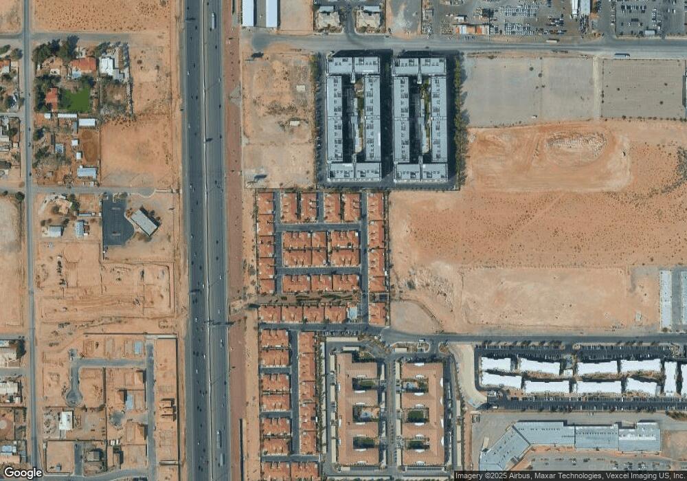
2771 Dunstan Way Unit 2 Las Vegas, NV 89123
Silverado Ranch NeighborhoodEstimated Value: $338,600 - $365,000
3
Beds
2
Baths
1,239
Sq Ft
$282/Sq Ft
Est. Value
About This Home
This home is located at 2771 Dunstan Way Unit 2, Las Vegas, NV 89123 and is currently estimated at $349,150, approximately $281 per square foot. 2771 Dunstan Way Unit 2 is a home located in Clark County with nearby schools including John R. Hummel Elementary School, Charles Silvestri Junior High School, and Liberty High School.
Ownership History
Date
Name
Owned For
Owner Type
Purchase Details
Closed on
May 23, 2003
Sold by
Time For Living Inc
Bought by
Cozad Arthur W and Cozad Ana Maria
Current Estimated Value
Home Financials for this Owner
Home Financials are based on the most recent Mortgage that was taken out on this home.
Original Mortgage
$132,367
Outstanding Balance
$57,362
Interest Rate
5.75%
Mortgage Type
Unknown
Estimated Equity
$291,788
Create a Home Valuation Report for This Property
The Home Valuation Report is an in-depth analysis detailing your home's value as well as a comparison with similar homes in the area
Home Values in the Area
Average Home Value in this Area
Purchase History
| Date | Buyer | Sale Price | Title Company |
|---|---|---|---|
| Cozad Arthur W | $139,334 | Lawyers Title Of Nevada |
Source: Public Records
Mortgage History
| Date | Status | Borrower | Loan Amount |
|---|---|---|---|
| Open | Cozad Arthur W | $132,367 |
Source: Public Records
Tax History Compared to Growth
Tax History
| Year | Tax Paid | Tax Assessment Tax Assessment Total Assessment is a certain percentage of the fair market value that is determined by local assessors to be the total taxable value of land and additions on the property. | Land | Improvement |
|---|---|---|---|---|
| 2025 | $963 | $86,694 | $31,500 | $55,194 |
| 2024 | $1,034 | $86,694 | $31,500 | $55,194 |
| 2023 | $1,034 | $74,551 | $24,150 | $50,401 |
| 2022 | $1,004 | $69,490 | $21,700 | $47,790 |
| 2021 | $975 | $59,515 | $20,300 | $39,215 |
| 2020 | $859 | $60,500 | $19,600 | $40,900 |
| 2019 | $834 | $56,977 | $16,450 | $40,527 |
| 2018 | $810 | $52,496 | $13,650 | $38,846 |
| 2017 | $843 | $50,164 | $11,550 | $38,614 |
| 2016 | $843 | $45,939 | $9,100 | $36,839 |
| 2015 | $840 | $32,923 | $5,250 | $27,673 |
| 2014 | $816 | $26,737 | $3,500 | $23,237 |
Source: Public Records
Map
Nearby Homes
- 9020 Kimo St
- 2755 W Pebble Rd Unit 319
- 2775 W Pebble Rd Unit 501
- 2715 W Pebble Rd Unit 505
- 2861 Blue Key Ct Unit 2
- 3385 W Agate Ave
- 0 Polaris Ave
- 31 E Agate Ave Unit 302
- 31 E Agate Ave Unit 407
- 3458 W Agate Ave
- 2405 W Serene Ave Unit 627
- 2405 W Serene Ave Unit 807
- 2405 W Serene Ave Unit 827
- 2405 W Serene Ave Unit 703
- 2405 W Serene Ave Unit 241
- 35 E Agate Ave Unit 208
- 35 E Agate Ave Unit 406
- 2455 W Serene Ave Unit 706
- 32 E Serene Ave Unit 123
- 27 E Agate Ave Unit 505
- 2761 Dunstan Way
- 2781 Dunstan Way
- 2751 Dunstan Way
- 2770 Serenidad Dr
- 2760 Serenidad Dr
- 2780 Serenidad Dr
- 2801 Dunstan Way
- 2750 Serenidad Dr Unit 2
- 9022 Purple Ct
- 9023 Kimo St
- 2800 Serenidad Dr
- 2811 Dunstan Way
- 9017 Kimo St
- 9016 Purple Ct
- 2810 Serenidad Dr
- 9038 Kimo St
- 9044 Kimo St
- 9011 Kimo St
- 9032 Kimo St
