27721 Lakeside Ln Merrifield, MN 56465
Estimated Value: $617,000 - $714,000
4
Beds
2
Baths
2,104
Sq Ft
$323/Sq Ft
Est. Value
About This Home
This home is located at 27721 Lakeside Ln, Merrifield, MN 56465 and is currently estimated at $679,986, approximately $323 per square foot. 27721 Lakeside Ln is a home located in Crow Wing County with nearby schools including Cuyuna Range Elementary School and Crosby-Ironton Secondary School.
Ownership History
Date
Name
Owned For
Owner Type
Purchase Details
Closed on
Nov 18, 2021
Sold by
Keup F E & L E L Tr
Bought by
Robeck Paul
Current Estimated Value
Home Financials for this Owner
Home Financials are based on the most recent Mortgage that was taken out on this home.
Original Mortgage
$419,750
Outstanding Balance
$382,647
Interest Rate
3.07%
Mortgage Type
Construction
Estimated Equity
$297,339
Create a Home Valuation Report for This Property
The Home Valuation Report is an in-depth analysis detailing your home's value as well as a comparison with similar homes in the area
Purchase History
| Date | Buyer | Sale Price | Title Company |
|---|---|---|---|
| Robeck Paul | $575,000 | First American Title Insurance |
Source: Public Records
Mortgage History
| Date | Status | Borrower | Loan Amount |
|---|---|---|---|
| Open | Robeck Paul | $419,750 |
Source: Public Records
Tax History
| Year | Tax Paid | Tax Assessment Tax Assessment Total Assessment is a certain percentage of the fair market value that is determined by local assessors to be the total taxable value of land and additions on the property. | Land | Improvement |
|---|---|---|---|---|
| 2025 | $3,676 | $605,000 | $260,000 | $345,000 |
| 2024 | $3,250 | $574,200 | $248,400 | $325,800 |
| 2023 | $3,508 | $581,300 | $240,900 | $340,400 |
| 2022 | $2,626 | $587,600 | $230,900 | $356,700 |
| 2021 | $2,340 | $437,900 | $193,900 | $244,000 |
| 2020 | $2,994 | $387,900 | $166,700 | $221,200 |
| 2019 | $2,828 | $369,200 | $148,000 | $221,200 |
| 2018 | $2,870 | $336,900 | $148,000 | $188,900 |
| 2017 | $2,940 | $344,600 | $157,800 | $186,800 |
| 2016 | $2,778 | $323,100 | $152,600 | $170,500 |
| 2015 | $2,530 | $290,800 | $127,700 | $163,100 |
| 2014 | $1,332 | $301,300 | $135,700 | $165,600 |
Source: Public Records
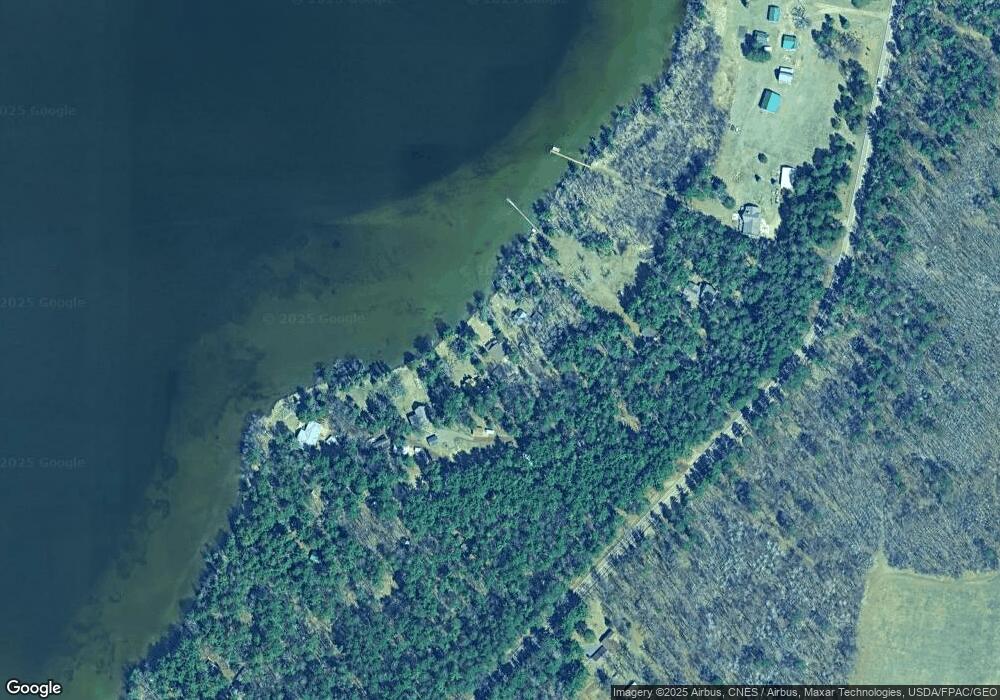
Map
Nearby Homes
- TBD Cr-109
- 27181 Ridgewood Dr
- 17741 River Rd
- 17612 County Road 11
- 17614 County Road 11
- 28847 Gene Rd
- 13893 County Road 116
- 13084 Mission Park Dr
- TBD Mission Park Dr
- Lot 10 Cr-30
- Lot 11 Cr-30
- Lot 12 Cr-30
- Lot 13 Cr-30
- Lot 14 Cr-30
- TBD Miller Lake Rd
- Parcel F SW Horseshoe Lake Rd
- Lot J Sandbar Ln
- Lot H Sandbar Ln
- Lot D Sandbar Ln
- Lot A Sandbar Ln
- 27728 Lakeside Ln
- 16412 Tall Pines Ln
- 16412 Tall Pines Ln
- 16396 Tall Pines Ln
- 27737 County Road 19
- 16325 Tall Pines Ln
- 27638 County Road 19
- 27638 County Road 19
- 27613 Tall Pines Dr
- 27831 County Road 19
- 27602 County Road 19
- 27933 County Road 19
- 27551 Tall Pines Dr
- 27517 Tall Pines Dr
- 27975 County Road 19
- 27501 Tall Pines Dr
- 27511 County Road 19
- 28041 Mission Cutoff
- 27991 County Road 19
- 28009 Mission Cutoff
Your Personal Tour Guide
Ask me questions while you tour the home.