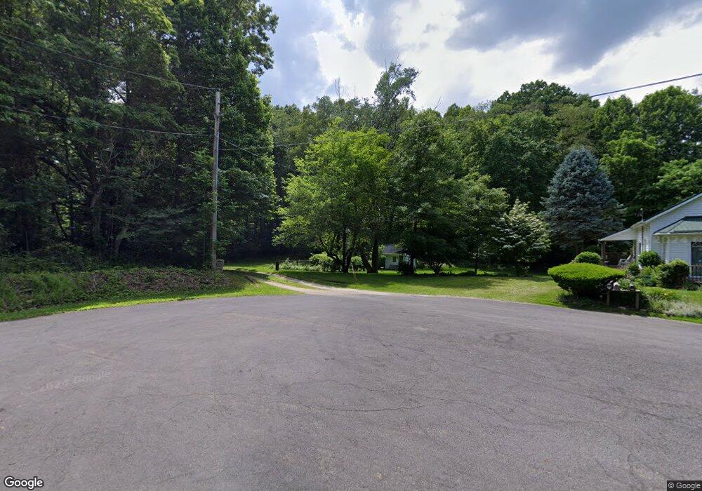
2775 Serfass Rd New Franklin, OH 44216
Estimated Value: $556,000 - $788,000
4
Beds
4
Baths
4,192
Sq Ft
$163/Sq Ft
Est. Value
About This Home
This home is located at 2775 Serfass Rd, New Franklin, OH 44216 and is currently estimated at $681,688, approximately $162 per square foot. 2775 Serfass Rd is a home with nearby schools including Northwest Primary School, W.S. Stinson Elementary School, and Northwest Middle School.
Ownership History
Date
Name
Owned For
Owner Type
Purchase Details
Closed on
Jul 18, 2000
Sold by
Helstrom Carole B
Bought by
Smith Timothy Denton
Current Estimated Value
Home Financials for this Owner
Home Financials are based on the most recent Mortgage that was taken out on this home.
Original Mortgage
$320,000
Interest Rate
8.27%
Create a Home Valuation Report for This Property
The Home Valuation Report is an in-depth analysis detailing your home's value as well as a comparison with similar homes in the area
Home Values in the Area
Average Home Value in this Area
Purchase History
| Date | Buyer | Sale Price | Title Company |
|---|---|---|---|
| Smith Timothy Denton | $400,000 | Minnesota Title Agency Inc |
Source: Public Records
Mortgage History
| Date | Status | Borrower | Loan Amount |
|---|---|---|---|
| Previous Owner | Smith Timothy Denton | $320,000 |
Source: Public Records
Tax History Compared to Growth
Tax History
| Year | Tax Paid | Tax Assessment Tax Assessment Total Assessment is a certain percentage of the fair market value that is determined by local assessors to be the total taxable value of land and additions on the property. | Land | Improvement |
|---|---|---|---|---|
| 2025 | $8,841 | $198,808 | $82,982 | $115,826 |
| 2024 | $8,841 | $198,808 | $82,982 | $115,826 |
| 2023 | $8,841 | $198,808 | $82,982 | $115,826 |
| 2022 | $7,247 | $148,057 | $61,467 | $86,590 |
| 2021 | $7,264 | $148,057 | $61,467 | $86,590 |
| 2020 | $7,287 | $148,060 | $61,470 | $86,590 |
| 2019 | $7,703 | $150,860 | $72,640 | $78,220 |
| 2018 | $7,700 | $150,860 | $72,640 | $78,220 |
| 2017 | $7,753 | $150,860 | $72,640 | $78,220 |
| 2016 | $7,629 | $140,800 | $72,640 | $68,160 |
| 2015 | $7,753 | $140,800 | $72,640 | $68,160 |
| 2014 | $8,094 | $140,800 | $72,640 | $68,160 |
| 2013 | $8,311 | $144,830 | $72,640 | $72,190 |
Source: Public Records
Map
Nearby Homes
- 0 S Cleveland Massillon Rd Unit 5126434
- 7395 S Cleveland Massillon Rd
- 11465 Clinton Rd
- 0 Grill Rd
- 7805 2nd St
- 18592 Edwards Rd Unit 156
- 18592 Edwards Rd Unit 126
- 3241 Grill Rd
- 3384 Lullaby Ln
- 13841 Hametown Rd
- 6163 N Oval Rd
- 8177 S Cleveland Massillon Rd Unit 42
- 2200 W Comet Rd
- 2672 Lyman Dr
- 8896 Indian Hills Cir NW
- 18047 Racine Rd
- 11626 Black Diamond Rd
- 5464 Taylor Rd
- 15081 Oak Grove Dr
- 6412 Lieb Dr
- 6992 Pancake Ln
- 7010 Pancake Ln
- 6984 Pancake Ln
- 2811 Serfass Rd
- 6988 Pancake Ln
- 7090 Cleveland Massillon Rd
- 7078 Cleveland Massillon Rd
- 7102 Cleveland Massillon Rd
- 2845 Serfass Rd
- 7114 Cleveland Massillon Rd
- 7054 S Cleveland Massillon Rd
- 2727 Serfass Rd
- 7128 Cleveland Massillon Rd
- 7066 S Cleveland Massillon Rd
- 7042 S Cleveland Massillon Rd
- 2895 Serfass Rd
- 7010 S Cleveland Massillon Rd
- 7152 S Cleveland Massillon Rd
- 7164 Cleveland Massillon Rd
- 2713 Serfass Rd