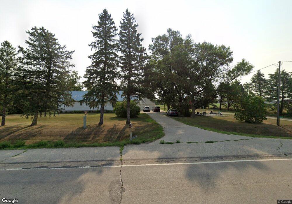
27766 Us Highway 218 Austin, MN 55912
Estimated Value: $334,000 - $455,743
5
Beds
3
Baths
2,463
Sq Ft
$161/Sq Ft
Est. Value
About This Home
This home is located at 27766 Us Highway 218, Austin, MN 55912 and is currently estimated at $396,686, approximately $161 per square foot. 27766 Us Highway 218 is a home with nearby schools including Banfield Elementary School, Ellis Middle School, and I.J. Holton Intermediate School.
Ownership History
Date
Name
Owned For
Owner Type
Purchase Details
Closed on
Oct 20, 2011
Sold by
Leif Paul D and Leif Debra M
Bought by
Leif Lindsay M
Current Estimated Value
Purchase Details
Closed on
Oct 10, 2007
Sold by
Wells Fargo Bank Na
Bought by
Leif Paul D
Home Financials for this Owner
Home Financials are based on the most recent Mortgage that was taken out on this home.
Original Mortgage
$128,400
Interest Rate
6.5%
Mortgage Type
Future Advance Clause Open End Mortgage
Purchase Details
Closed on
Oct 6, 2006
Sold by
Bina Matthew C and Bina Kimberly J
Bought by
Wells Fargo Bank Na
Create a Home Valuation Report for This Property
The Home Valuation Report is an in-depth analysis detailing your home's value as well as a comparison with similar homes in the area
Home Values in the Area
Average Home Value in this Area
Purchase History
| Date | Buyer | Sale Price | Title Company |
|---|---|---|---|
| Leif Lindsay M | $160,503 | None Available | |
| Leif Paul D | $160,503 | Burnet Title | |
| Wells Fargo Bank Na | $15,452 | None Available |
Source: Public Records
Mortgage History
| Date | Status | Borrower | Loan Amount |
|---|---|---|---|
| Previous Owner | Leif Paul D | $128,400 |
Source: Public Records
Tax History Compared to Growth
Tax History
| Year | Tax Paid | Tax Assessment Tax Assessment Total Assessment is a certain percentage of the fair market value that is determined by local assessors to be the total taxable value of land and additions on the property. | Land | Improvement |
|---|---|---|---|---|
| 2025 | $3,396 | $421,300 | $85,800 | $335,500 |
| 2024 | $3,396 | $375,500 | $90,800 | $284,700 |
| 2023 | $3,412 | $371,100 | $90,800 | $280,300 |
| 2022 | $2,688 | $350,800 | $90,800 | $260,000 |
| 2021 | $2,442 | $264,200 | $74,900 | $189,300 |
| 2020 | $2,206 | $239,800 | $74,900 | $164,900 |
| 2018 | $0 | $211,500 | $72,900 | $138,600 |
| 2017 | $1,960 | $0 | $0 | $0 |
| 2016 | $1,930 | $0 | $0 | $0 |
| 2015 | $2,560 | $0 | $0 | $0 |
| 2012 | $2,560 | $0 | $0 | $0 |
Source: Public Records
Map
Nearby Homes
- TBD 266th St & 539th Ave
- 54224 266 St
- 50424 305th St
- 24975 Mower Freeborn Rd
- TBD 30th Ave NE
- 24826 560th Ave
- 211 Clinton St
- 704 21st Ave NW
- 1400 18th Ave NW
- 1907 Oak Tree Ln Unit C
- 1200 18th Ave NW Unit 111
- 1200 18th Ave NW Unit 137
- 1401 7th St NW
- 1206 12th St NW
- 904 14th Ave NE
- 1403 11th Ave NW
- 705 11th Ave NW
- 23520 902nd Ave
- 1100 9th St NW
- 1100 5th St NW