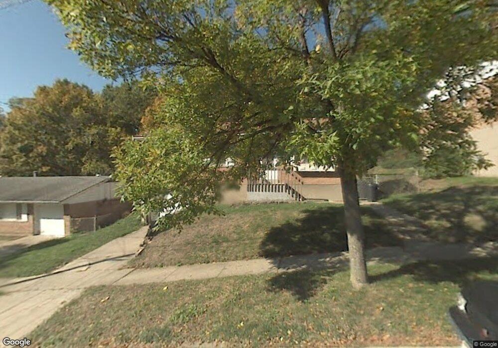
2777 Baker Ave Cincinnati, OH 45211
South Fairmount NeighborhoodEstimated Value: $143,000 - $156,000
3
Beds
1
Bath
925
Sq Ft
$160/Sq Ft
Est. Value
About This Home
This home is located at 2777 Baker Ave, Cincinnati, OH 45211 and is currently estimated at $148,296, approximately $160 per square foot. 2777 Baker Ave is a home located in Hamilton County with nearby schools including Western Hills High School, Gilbert A. Dater High School, and Robert A. Taft Information Technology High School.
Ownership History
Date
Name
Owned For
Owner Type
Purchase Details
Closed on
Dec 31, 1998
Sold by
Vaughn Curtis M
Bought by
Baxter Richard E
Current Estimated Value
Home Financials for this Owner
Home Financials are based on the most recent Mortgage that was taken out on this home.
Original Mortgage
$67,000
Outstanding Balance
$15,634
Interest Rate
6.83%
Mortgage Type
FHA
Estimated Equity
$132,662
Purchase Details
Closed on
Nov 5, 1997
Sold by
Deramo Stanley K and Deramo Rosemary
Bought by
Vaughn Curtis M
Home Financials for this Owner
Home Financials are based on the most recent Mortgage that was taken out on this home.
Original Mortgage
$61,200
Interest Rate
8.75%
Mortgage Type
VA
Create a Home Valuation Report for This Property
The Home Valuation Report is an in-depth analysis detailing your home's value as well as a comparison with similar homes in the area
Home Values in the Area
Average Home Value in this Area
Purchase History
| Date | Buyer | Sale Price | Title Company |
|---|---|---|---|
| Baxter Richard E | $68,500 | First Title Agency Inc | |
| Vaughn Curtis M | $60,000 | -- |
Source: Public Records
Mortgage History
| Date | Status | Borrower | Loan Amount |
|---|---|---|---|
| Open | Baxter Richard E | $67,000 | |
| Previous Owner | Vaughn Curtis M | $61,200 |
Source: Public Records
Tax History Compared to Growth
Tax History
| Year | Tax Paid | Tax Assessment Tax Assessment Total Assessment is a certain percentage of the fair market value that is determined by local assessors to be the total taxable value of land and additions on the property. | Land | Improvement |
|---|---|---|---|---|
| 2024 | $1,473 | $23,002 | $3,556 | $19,446 |
| 2023 | $1,476 | $23,002 | $3,556 | $19,446 |
| 2022 | $1,282 | $17,945 | $5,149 | $12,796 |
| 2021 | $1,255 | $17,945 | $5,149 | $12,796 |
| 2020 | $1,259 | $17,945 | $5,149 | $12,796 |
| 2019 | $1,256 | $16,314 | $4,680 | $11,634 |
| 2018 | $1,257 | $16,314 | $4,680 | $11,634 |
| 2017 | $1,210 | $16,314 | $4,680 | $11,634 |
| 2016 | $1,211 | $15,918 | $4,725 | $11,193 |
| 2015 | $1,083 | $15,918 | $4,725 | $11,193 |
| 2014 | $1,089 | $15,918 | $4,725 | $11,193 |
| 2013 | $1,096 | $15,761 | $4,680 | $11,081 |
Source: Public Records
Map
Nearby Homes
- 2711 Baker Ave
- 2117 Saint Leo Place
- 2114 Saint Leo Place
- 2828 Ruberg Ave
- 2082 Harrison Ave
- 2085 N Teralta Cir
- 2722 Orland Ave Unit 2
- 2722 Orland Ave
- 2195 Harrison Ave
- 2063 Harrison Ave
- 2060 Bickel Ave
- 2473 Wahl Terrace
- 2656 Fenton Ave
- 2009 Harrison Ave
- 2962 Aquadale Ln
- 2723 Faber Ave
- 2340 Harrison Ave
- 1977 Harrison Ave
- 2084 Queen City Ave
- 2088 Queen City Ave
- 2781 Baker Ave
- 2773 Baker Ave
- 2785 Baker Ave
- 2767 Baker Ave
- 2776 Baker Ave
- 2772 Baker Ave
- 2780 Baker Ave
- 2791 Baker Ave
- 2761 Baker Ave
- 2766 Baker Ave
- 2784 Baker Ave
- 2762 Baker Ave
- 2156 Karla Dr
- 2156 Karla Dr
- 2795 Baker Ave
- 2760 Baker Ave
- 2790 Baker Ave
- 2757 Baker Ave
- 2757 Pickmeier Ln
- 2751 Pickmeier Ln