2777 N State Highway 59 Merced, CA 95348
Estimated Value: $3,212,029
About This Home
This home is located at 2777 N State Highway 59, Merced, CA 95348 and is currently priced at $3,212,029, approximately $32 per square foot. 2777 N State Highway 59 is a home located in Merced County with nearby schools including Franklin Elementary School, Tenaya Middle School, and El Capitan High School.
Ownership History
We collect this data history from publicly available records. To have your information removed, we recommend requesting removal directly through your county’s website.
Purchase Details
Purchase Details
Purchase Details
Purchase Details
Purchase History
We collect this data history from publicly available records. To have your information removed, we recommend requesting removal directly through your county’s website.
| Date | Buyer | Sale Price | Title Company |
|---|---|---|---|
| -- | First American Title | ||
| $2,977,500 | First American Title | ||
| -- | -- | ||
| -- | First American Title | ||
| $2,977,500 | First American Title | ||
| -- | First American Title | ||
| -- | -- | ||
| -- | First American Title | ||
| -- | New Title Company Name | ||
| -- | New Title Company Name |
Tax History
We collect this data history from publicly available records. To have your information removed, we recommend requesting removal directly through your county’s website.
| Year | Tax Paid | Tax Assessment Tax Assessment Total Assessment is a certain percentage of the fair market value that is determined by local assessors to be the total taxable value of land and additions on the property. | Land | Improvement |
|---|---|---|---|---|
| 2025 | $83,033 | $7,867,885 | $1,374,264 | $6,493,621 |
| 2024 | $83,033 | $7,755,090 | $1,347,318 | $6,407,772 |
| 2023 | $44,816 | $4,151,969 | $602,389 | $3,549,580 |
| 2022 | $44,573 | $4,101,484 | $590,578 | $3,510,906 |
| 2021 | $46,422 | $4,199,103 | $578,999 | $3,620,104 |
| 2020 | $44,292 | $3,932,214 | $573,063 | $3,359,151 |
| 2019 | $44,361 | $3,933,227 | $561,827 | $3,371,400 |
| 2018 | $40,536 | $3,861,434 | $550,811 | $3,310,623 |
| 2017 | $42,886 | $3,858,321 | $540,011 | $3,318,310 |
| 2016 | $39,795 | $3,565,813 | $529,423 | $3,036,390 |
| 2015 | -- | $0 | $0 | $0 |
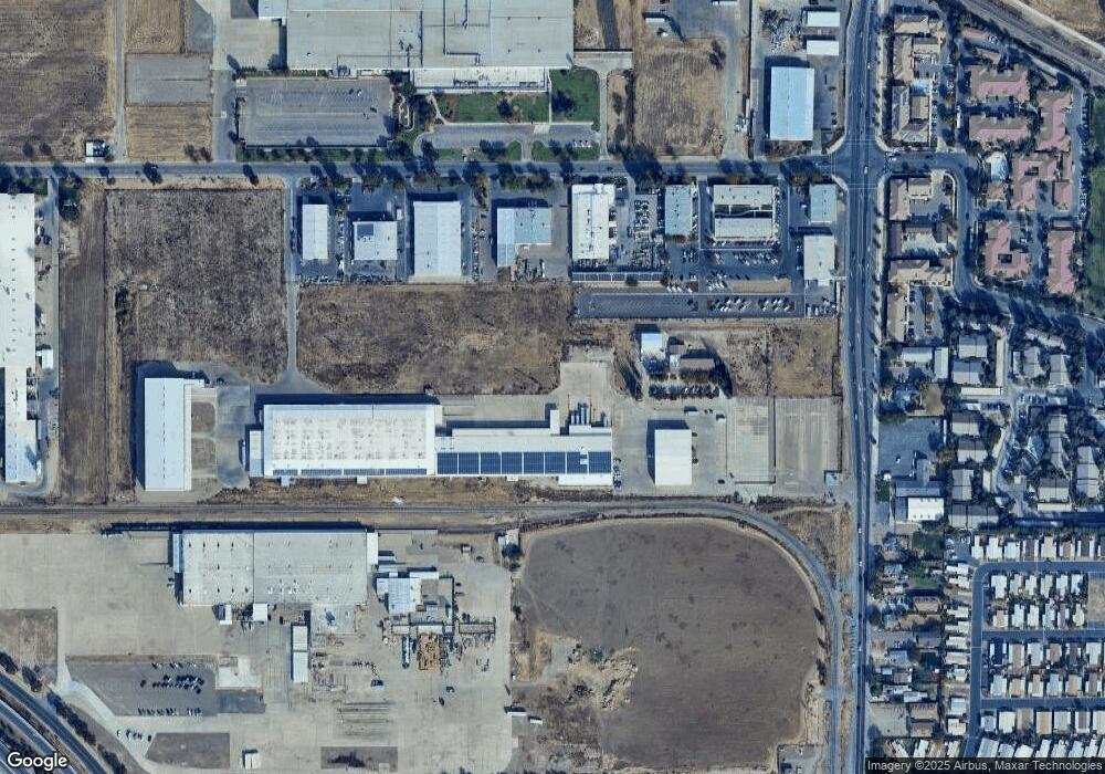
Map
- 2790 N State Highway 59
- 2500 N State Highway 59 Unit 36
- 2500 N State Highway 59
- 2500 N State Highway 59 Unit 278
- 2500 N State Highway 59 Unit 239
- 2500 N State Highway 59 Unit 18
- 1670 W North Bear Creek Dr
- 1664 W North Bear Creek Dr Unit 5
- 1646 W North Bear Creek Dr
- 1648 W North Bear Creek Dr
- 2021 W St
- 3221 Cheyenne Dr
- 3184 Topeka Dr
- 2029 W State Highway 140
- 1645 Loughborough Dr
- 1772 Heritage Dr
- 2044 W State Highway 140
- 2228 Drake Ave
- 3405 San Gregorio Ct
- 3533 San Isidro Ave
- 2777 N State Highway 59
- 2777 N State Highway 59 Unit D F
- 2777 N State Highway 59 Unit B
- 2777 N State Highway 59 Unit C
- 2777 N State Highway 59 Unit D
- 2777 N State Highway 59 Unit D
- 2777 N State Highway 59 Unit C
- 2777 N State Highway 59 Unit A
- 2777 N State Highway 59
- 2777 N 59 Hwy Unit `B`
- 2777 B 59 Hwy N
- 2777 D N Highway 59 Unit D
- 2250 Cooper Ave
- 2260 Cooper Ave
- 2260 Cooper Ave Unit F
- 2260 Cooper Ave Unit H
- 2260 Cooper Ave Unit B
- 2260 Cooper Ave Unit F G
- 2777 Hwy 59 Hwy N
- 2777 Hwy 59 Hwy N Unit Build
Ask me questions while you tour the home.