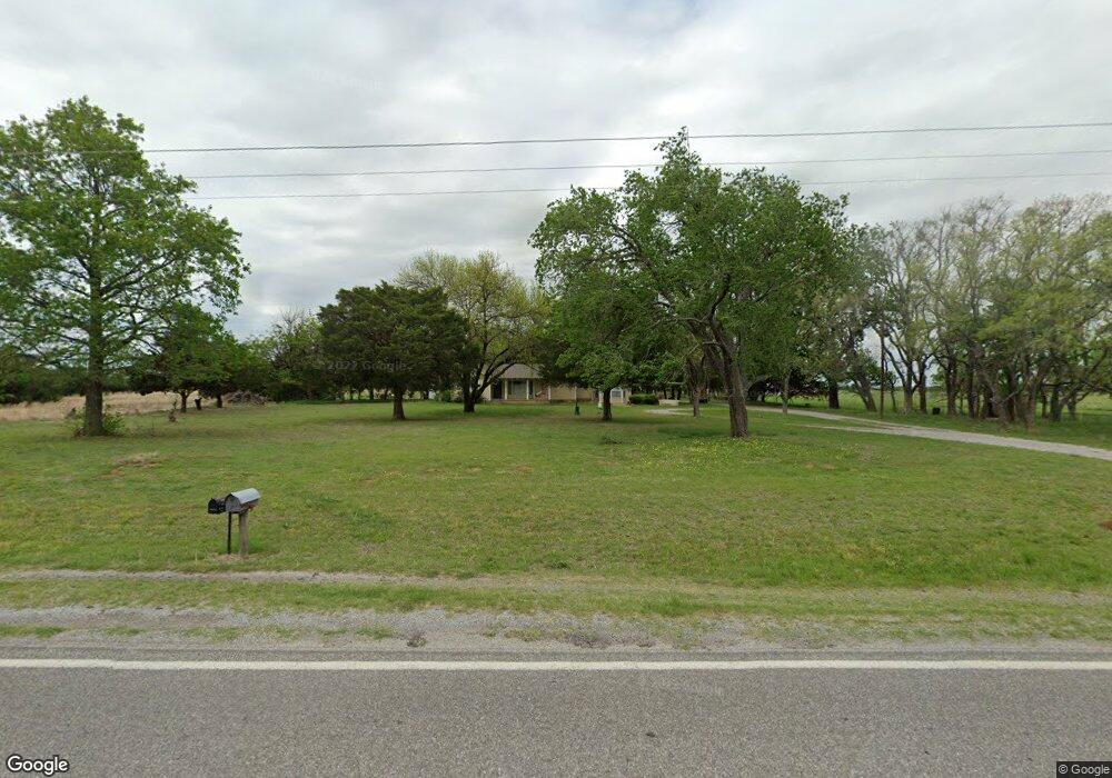
277848 State Highway 53 Comanche, OK 73529
Estimated Value: $129,000 - $211,000
3
Beds
2
Baths
1,744
Sq Ft
$97/Sq Ft
Est. Value
About This Home
This home is located at 277848 State Highway 53, Comanche, OK 73529 and is currently estimated at $169,873, approximately $97 per square foot. 277848 State Highway 53 is a home located in Stephens County with nearby schools including Grandview Public School.
Ownership History
Date
Name
Owned For
Owner Type
Purchase Details
Closed on
Jun 12, 2013
Sold by
Davidson Adrian B and Davidson Adron B
Bought by
Harris Jimmy F and Harris Deborah O
Current Estimated Value
Home Financials for this Owner
Home Financials are based on the most recent Mortgage that was taken out on this home.
Original Mortgage
$55,000
Outstanding Balance
$11,917
Interest Rate
3.38%
Mortgage Type
New Conventional
Estimated Equity
$157,956
Purchase Details
Closed on
May 14, 2008
Sold by
Davidson Patty Ruth
Bought by
Davidson Adron B and Davidson Mary L
Create a Home Valuation Report for This Property
The Home Valuation Report is an in-depth analysis detailing your home's value as well as a comparison with similar homes in the area
Home Values in the Area
Average Home Value in this Area
Purchase History
| Date | Buyer | Sale Price | Title Company |
|---|---|---|---|
| Harris Jimmy F | $75,000 | None Available | |
| Davidson Adron B | -- | None Available |
Source: Public Records
Mortgage History
| Date | Status | Borrower | Loan Amount |
|---|---|---|---|
| Open | Harris Jimmy F | $55,000 |
Source: Public Records
Tax History Compared to Growth
Tax History
| Year | Tax Paid | Tax Assessment Tax Assessment Total Assessment is a certain percentage of the fair market value that is determined by local assessors to be the total taxable value of land and additions on the property. | Land | Improvement |
|---|---|---|---|---|
| 2025 | $1,195 | $14,614 | $1,026 | $13,588 |
| 2024 | $1,195 | $14,188 | $1,026 | $13,162 |
| 2023 | $815 | $9,998 | $1,026 | $8,972 |
| 2022 | $762 | $9,707 | $1,026 | $8,681 |
| 2021 | $777 | $9,424 | $1,026 | $8,398 |
| 2020 | $722 | $8,883 | $1,026 | $7,857 |
| 2019 | $579 | $7,022 | $1,026 | $5,996 |
| 2018 | $578 | $7,044 | $1,026 | $6,018 |
| 2017 | $531 | $7,499 | $1,026 | $6,473 |
| 2016 | $515 | $7,128 | $1,026 | $6,102 |
| 2015 | $378 | $8,352 | $1,026 | $7,326 |
| 2014 | $378 | $8,352 | $1,026 | $7,326 |
Source: Public Records
Map
Nearby Homes
- ? N 2800 Rd
- 000 Doctor Pepper Rd
- TBD E 1840 Rd
- 281477 Doctor Pepper Rd
- 303 N 8th St
- 183779 N 2740 Rd
- 611 611 S 6th St
- 511 Wilson Ave
- 508 Wilson Ave
- 500 Wilson Ave
- 0 Oklahoma 53
- 185752 State Hwy 81
- 1 12 Oaks Rd
- 0 Oak Dr Unit 2516340
- 283133 E Hiway 53
- Rt Rt 2
- NO ADDRESS No Address E Rockwood Dr
- 177914 177914 N 2770
- 282096 Andrews Dr
- 180163 Larue Dr
- 277848 State Highway 53
- 277825 State Highway 53
- 277848 State Highway 53
- 277848 277848 S Hwy 53
- 277848 State Highway 53
- 94 Rr 3
- 90 Rr 3
- 278056 Oklahoma 53
- 278055 State Highway 53
- 183277 N 2780 Rd
- 183277 N 2780 Rd
- 278731 State Highway 53
- 182601a N 2780 Rd
- 278266 State Highway 53
- 277407 State Highway 53
- 277311 State Highway 53
- 182576 N 2780 Rd
- 184865 Us Highway 81
- 274571 State Highway 53
- 183968 Us Highway 81