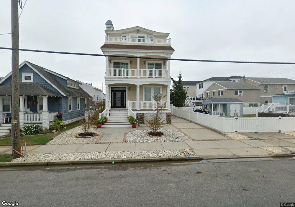
278 22nd St Avalon, NJ 08202
Estimated Value: $2,689,474 - $3,551,000
--
Bed
--
Bath
3,134
Sq Ft
$1,007/Sq Ft
Est. Value
About This Home
This home is located at 278 22nd St, Avalon, NJ 08202 and is currently estimated at $3,156,869, approximately $1,007 per square foot. 278 22nd St is a home located in Cape May County with nearby schools including Avalon Elementary School.
Ownership History
Date
Name
Owned For
Owner Type
Purchase Details
Closed on
Nov 10, 2004
Sold by
Mcmonagle William and Mcmonagle Maura
Bought by
Evangelist Mark C and Evangelist Carole A
Current Estimated Value
Home Financials for this Owner
Home Financials are based on the most recent Mortgage that was taken out on this home.
Original Mortgage
$591,200
Outstanding Balance
$291,329
Interest Rate
5.8%
Mortgage Type
New Conventional
Estimated Equity
$2,865,540
Create a Home Valuation Report for This Property
The Home Valuation Report is an in-depth analysis detailing your home's value as well as a comparison with similar homes in the area
Home Values in the Area
Average Home Value in this Area
Purchase History
| Date | Buyer | Sale Price | Title Company |
|---|---|---|---|
| Evangelist Mark C | $739,000 | Shore Title Agency Inc |
Source: Public Records
Mortgage History
| Date | Status | Borrower | Loan Amount |
|---|---|---|---|
| Open | Evangelist Mark C | $591,200 |
Source: Public Records
Tax History Compared to Growth
Tax History
| Year | Tax Paid | Tax Assessment Tax Assessment Total Assessment is a certain percentage of the fair market value that is determined by local assessors to be the total taxable value of land and additions on the property. | Land | Improvement |
|---|---|---|---|---|
| 2025 | $7,635 | $1,243,500 | $595,000 | $648,500 |
| 2024 | $7,635 | $1,243,500 | $595,000 | $648,500 |
| 2023 | $7,573 | $1,243,500 | $595,000 | $648,500 |
| 2022 | $7,063 | $1,243,500 | $595,000 | $648,500 |
| 2021 | $6,802 | $1,243,500 | $595,000 | $648,500 |
| 2020 | $6,541 | $1,243,500 | $595,000 | $648,500 |
| 2019 | $6,342 | $1,243,500 | $595,000 | $648,500 |
| 2018 | $6,068 | $1,243,500 | $595,000 | $648,500 |
| 2017 | $6,435 | $1,157,400 | $573,800 | $583,600 |
| 2016 | $6,366 | $1,157,400 | $573,800 | $583,600 |
| 2015 | $6,262 | $1,157,400 | $573,800 | $583,600 |
| 2014 | $6,192 | $1,157,400 | $573,800 | $583,600 |
Source: Public Records
Map
Nearby Homes