278 Charcoal Run Dr Dahlonega, GA 30533
Estimated Value: $413,000 - $486,000
--
Bed
2
Baths
1,762
Sq Ft
$254/Sq Ft
Est. Value
About This Home
This home is located at 278 Charcoal Run Dr, Dahlonega, GA 30533 and is currently estimated at $446,746, approximately $253 per square foot. 278 Charcoal Run Dr is a home located in Lumpkin County with nearby schools including Clay County Middle School and Lumpkin County High School.
Ownership History
Date
Name
Owned For
Owner Type
Purchase Details
Closed on
Mar 17, 2008
Sold by
Eaton Gerald K
Bought by
Eaton Gerald K and Eaton Angie
Current Estimated Value
Purchase Details
Closed on
Jun 8, 2003
Sold by
Eaton Stanley Etal
Bought by
Eaton Gerald K
Purchase Details
Closed on
Nov 14, 1997
Sold by
Eaton Gerald K
Bought by
Eaton Gerald K
Purchase Details
Closed on
Feb 6, 1996
Sold by
Eaton Jessie
Bought by
Eaton Gerald
Purchase Details
Closed on
Aug 1, 1995
Bought by
Eaton Jessie
Purchase Details
Closed on
May 2, 1988
Sold by
Eaton Gerald K
Bought by
Eaton Gerald K
Purchase Details
Closed on
Sep 1, 1983
Bought by
Eaton Gerald K
Create a Home Valuation Report for This Property
The Home Valuation Report is an in-depth analysis detailing your home's value as well as a comparison with similar homes in the area
Home Values in the Area
Average Home Value in this Area
Purchase History
| Date | Buyer | Sale Price | Title Company |
|---|---|---|---|
| Eaton Gerald K | -- | -- | |
| Eaton Gerald K | -- | -- | |
| Eaton Gerald K | -- | -- | |
| Eaton Gerald | -- | -- | |
| Eaton Jessie | -- | -- | |
| Eaton Gerald K | -- | -- | |
| Eaton Gerald K | -- | -- |
Source: Public Records
Tax History Compared to Growth
Tax History
| Year | Tax Paid | Tax Assessment Tax Assessment Total Assessment is a certain percentage of the fair market value that is determined by local assessors to be the total taxable value of land and additions on the property. | Land | Improvement |
|---|---|---|---|---|
| 2024 | $1,618 | $149,390 | $88,065 | $61,325 |
| 2023 | $1,170 | $137,295 | $78,533 | $58,762 |
| 2022 | $1,571 | $121,257 | $65,445 | $55,812 |
| 2021 | $1,528 | $117,693 | $65,445 | $52,248 |
| 2020 | $1,548 | $114,240 | $62,711 | $51,529 |
| 2019 | $1,558 | $114,240 | $62,711 | $51,529 |
| 2018 | $1,565 | $111,027 | $62,711 | $48,316 |
| 2017 | $1,529 | $112,475 | $62,711 | $49,764 |
| 2016 | $1,478 | $109,200 | $62,711 | $46,489 |
| 2015 | $1,341 | $109,200 | $62,711 | $46,489 |
| 2014 | $1,341 | $110,936 | $62,711 | $48,224 |
| 2013 | -- | $112,407 | $62,711 | $49,696 |
Source: Public Records
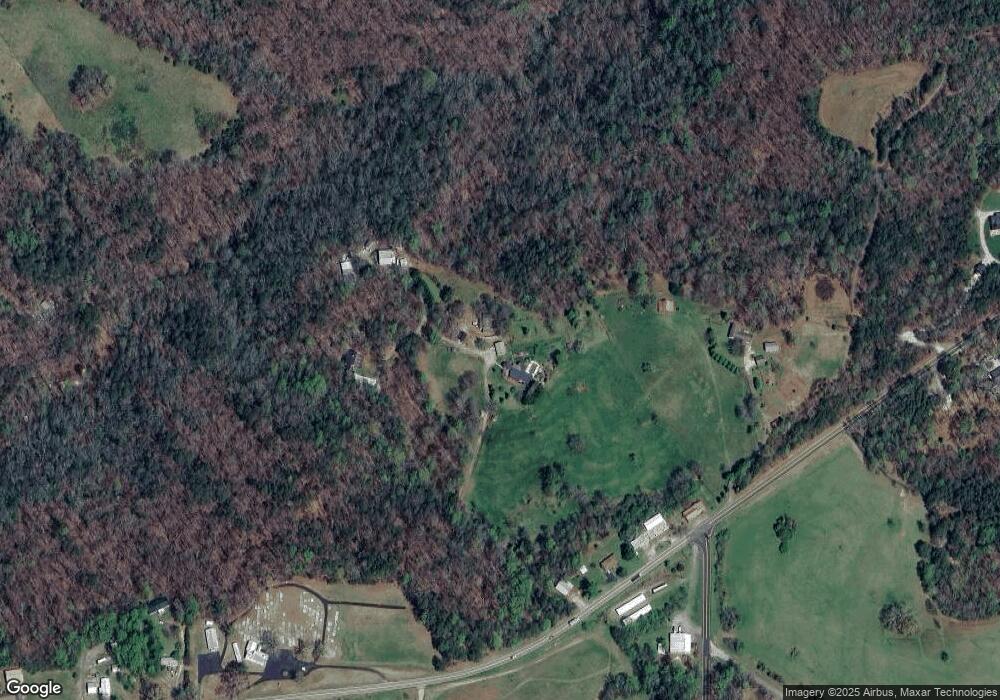
Map
Nearby Homes
- 45 Chestatee River Ridge
- 16 Welch Cir
- 64 Highview Ln
- 1063 Grindle Bridge Rd
- 380 Copper Mill Rd
- 0 Arborwood Dr Unit 10645890
- 202 Indian Trail
- 83 Austin Ct
- 0 Horseshoe Bend Rd Unit 10571975
- 0 Horseshoe Bend Rd Unit 7620338
- 925 Horseshoe Bend Rd
- 372 Porter Springs Rd
- 651 Hester Rd
- 496 Beaver Dam Rd
- 349 Hester Rd
- 0 Porter Springs Rd Unit 7685063
- 0 Porter Springs Rd Unit 10648400
- 313 Hester Rd
- 165 Porter Springs Rd
- 389 Charcoal Run Dr
- 5015 Cavender Creek Rd
- 4955 Cavender Creek Rd
- 4933 Cavender Creek Rd
- 4995 Cavender Creek Rd
- 0 Lewis Grindle Rd
- 0 Lewis Grindle Rd Unit 20094897
- 0 Lewis Grindle Rd Unit 20090126
- 0 Lewis Grindle Rd Unit 20084122
- 0 Lewis Grindle Rd Unit 20077297
- 0 Lewis Grindle Rd Unit 20070115
- 0 Lewis Grindle Rd Unit 20061780
- 0 Lewis Grindle Rd Unit 20053499
- 0 Lewis Grindle Rd Unit 20040980
- 0 Lewis Grindle Rd Unit 20032856
- 0 Lewis Grindle Rd Unit 20025191
- 0 Lewis Grindle Rd Unit 20016986
- 0 Lewis Grindle Rd Unit 20009576
- 0 Lewis Grindle Rd Unit 7132206
- 0 Lewis Grindle Rd Unit 8085986