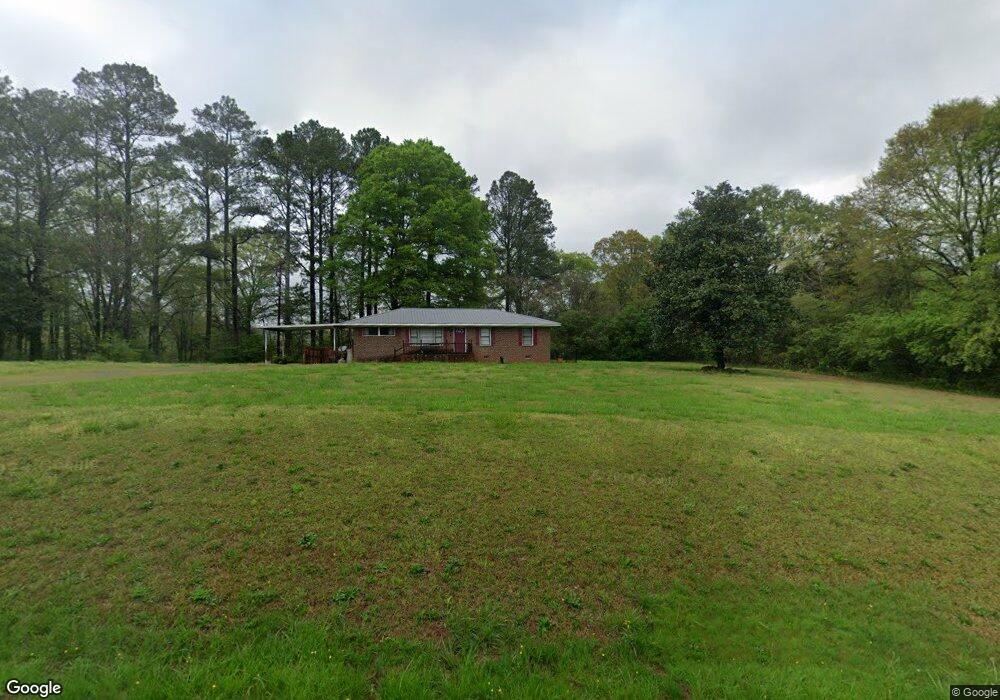
278 Denton Rd Cedartown, GA 30125
Estimated Value: $345,000 - $473,952
4
Beds
3
Baths
2,622
Sq Ft
$167/Sq Ft
Est. Value
About This Home
This home is located at 278 Denton Rd, Cedartown, GA 30125 and is currently estimated at $436,738, approximately $166 per square foot. 278 Denton Rd is a home located in Polk County with nearby schools including Vineyard Harvester Christian Academy.
Ownership History
Date
Name
Owned For
Owner Type
Purchase Details
Closed on
Feb 10, 1995
Sold by
Shelley Steve R
Bought by
Mauldin Roy E and Mauldin Reba D
Current Estimated Value
Purchase Details
Closed on
Apr 24, 1989
Sold by
Shelley Steve R
Bought by
Shelley Steve R
Purchase Details
Closed on
Apr 21, 1988
Sold by
Pinkerton John D
Bought by
Shelley Steve R
Create a Home Valuation Report for This Property
The Home Valuation Report is an in-depth analysis detailing your home's value as well as a comparison with similar homes in the area
Home Values in the Area
Average Home Value in this Area
Purchase History
| Date | Buyer | Sale Price | Title Company |
|---|---|---|---|
| Mauldin Roy E | $120,000 | -- | |
| Shelley Steve R | -- | -- | |
| Shelley Steve R | $20,000 | -- |
Source: Public Records
Tax History Compared to Growth
Tax History
| Year | Tax Paid | Tax Assessment Tax Assessment Total Assessment is a certain percentage of the fair market value that is determined by local assessors to be the total taxable value of land and additions on the property. | Land | Improvement |
|---|---|---|---|---|
| 2024 | $3,268 | $171,034 | $19,944 | $151,090 |
| 2023 | $2,421 | $115,386 | $19,944 | $95,442 |
| 2022 | $1,912 | $93,937 | $13,296 | $80,641 |
| 2021 | $1,936 | $93,937 | $13,296 | $80,641 |
| 2020 | $1,940 | $93,937 | $13,296 | $80,641 |
| 2019 | $1,986 | $87,284 | $13,296 | $73,988 |
| 2018 | $1,995 | $85,738 | $13,296 | $72,442 |
| 2017 | $1,966 | $85,738 | $13,296 | $72,442 |
| 2016 | $2,202 | $94,404 | $21,962 | $72,442 |
| 2015 | $2,204 | $94,404 | $21,962 | $72,442 |
| 2014 | $2,541 | $94,404 | $21,962 | $72,442 |
Source: Public Records
Map
Nearby Homes
- 113 Cherokee Estates Dr
- 88 Sequoyah Ct
- 2236 Rome Hwy
- 0 Collins Rd Unit 10627302
- 90 W Meadow Lakes Blvd
- 31 Meadow Lakes Terrace
- 232 Stephens Rd
- 0 Rome Hwy Unit 10521649
- 600 Miller Rd
- TRACT3 Drummond Rd
- Tract2 Drummond Rd
- 1250 Adams Rd
- 727 Cherokee Rd
- 828 N College Dr
- 217 Cherokee Cir
- 00 Oak Crest Dr
- 133 Virginia Cir
- 64 Virginia Cir
- LOT 21 Cherokee Cir
- 1170 Lake Creek Rd
- 250 Denton Rd
- 262 Denton Rd
- 216 Denton Rd
- 265 Denton Rd
- 279 Denton Rd
- 316 Denton Rd
- 174 Denton Rd
- 315 Denton Rd
- 336 Denton Rd
- 335 Denton Rd
- 268 Denton Rd
- 379 Denton Rd
- 135 Denton Rd
- 125 Denton Rd
- 403 Denton Rd
- 111 Denton Rd
- 85 Denton Rd
- 421 Denton Rd
- 0 Cherokee Estates Dr Unit 8304497
- 0 Cherokee Estates Dr Unit 8304494