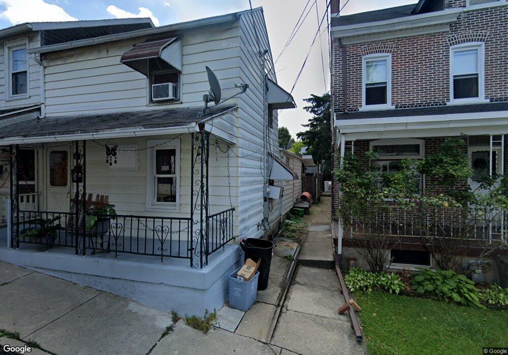
278 E Maple St Allentown, PA 18109
East Allentown NeighborhoodEstimated Value: $148,000 - $202,000
3
Beds
1
Bath
1,148
Sq Ft
$147/Sq Ft
Est. Value
About This Home
This home is located at 278 E Maple St, Allentown, PA 18109 and is currently estimated at $168,581, approximately $146 per square foot. 278 E Maple St is a home located in Lehigh County with nearby schools including Mosser Elementary School, Harrison-Morton Middle School, and Louis E. Dieruff High School.
Ownership History
Date
Name
Owned For
Owner Type
Purchase Details
Closed on
Mar 14, 2005
Sold by
Stuber David A and Stuber Carol A
Bought by
Roberts James D
Current Estimated Value
Home Financials for this Owner
Home Financials are based on the most recent Mortgage that was taken out on this home.
Original Mortgage
$36,320
Outstanding Balance
$18,450
Interest Rate
5.64%
Mortgage Type
Purchase Money Mortgage
Estimated Equity
$150,131
Purchase Details
Closed on
Dec 30, 1996
Sold by
Stuber Anna M
Bought by
Stuber David A
Create a Home Valuation Report for This Property
The Home Valuation Report is an in-depth analysis detailing your home's value as well as a comparison with similar homes in the area
Home Values in the Area
Average Home Value in this Area
Purchase History
| Date | Buyer | Sale Price | Title Company |
|---|---|---|---|
| Roberts James D | $45,400 | -- | |
| Stuber David A | -- | -- |
Source: Public Records
Mortgage History
| Date | Status | Borrower | Loan Amount |
|---|---|---|---|
| Open | Roberts James D | $36,320 |
Source: Public Records
Tax History Compared to Growth
Tax History
| Year | Tax Paid | Tax Assessment Tax Assessment Total Assessment is a certain percentage of the fair market value that is determined by local assessors to be the total taxable value of land and additions on the property. | Land | Improvement |
|---|---|---|---|---|
| 2025 | $2,176 | $65,700 | $7,700 | $58,000 |
| 2024 | $2,176 | $65,700 | $7,700 | $58,000 |
| 2023 | $2,176 | $65,700 | $7,700 | $58,000 |
| 2022 | $2,101 | $65,700 | $58,000 | $7,700 |
| 2021 | $2,059 | $65,700 | $7,700 | $58,000 |
| 2020 | $2,007 | $65,700 | $7,700 | $58,000 |
| 2019 | $1,975 | $65,700 | $7,700 | $58,000 |
| 2018 | $1,838 | $65,700 | $7,700 | $58,000 |
| 2017 | $1,792 | $65,700 | $7,700 | $58,000 |
| 2016 | -- | $65,700 | $7,700 | $58,000 |
| 2015 | -- | $65,700 | $7,700 | $58,000 |
| 2014 | -- | $65,700 | $7,700 | $58,000 |
Source: Public Records
Map
Nearby Homes
- 266 E Walnut St
- 226 E Walnut St
- 223 E Union St
- 339 E Howe St
- 422 E Court St
- 227 E Court St
- 349 Hanover Ave Unit 353
- 1021 E Mosser St
- 334 E Mosser St
- 456 Hanover Ave
- 407 N Fenwick St
- 408 N Gilmore St
- 222 N Front St
- 501 N Carlisle St
- 201 Ridge Ave
- 960 E Fairview St
- 172 Chestnut St
- 217 N Grant St
- 30 N 2nd St Unit 2
- 414 N Front St
- 276 E Maple St
- 280 E Maple St
- 274 E Maple St
- 282 E Maple St
- 272 E Maple St
- 30 S Carlisle St Unit 32
- 24 S Carlisle St Unit 28
- 270 E Maple St
- 24-28 S Carlisle St
- 34 S Carlisle St
- 36 S Carlisle St
- 277 E Walnut St Unit 279
- 273 E Walnut St Unit 275
- 38 S Carlisle St
- 269 E Walnut St Unit 271
- 40 S Carlisle St
- 266 E Maple St
- 42 S Carlisle St
- 44 S Carlisle St
- 44 S Carlisle St Unit 4