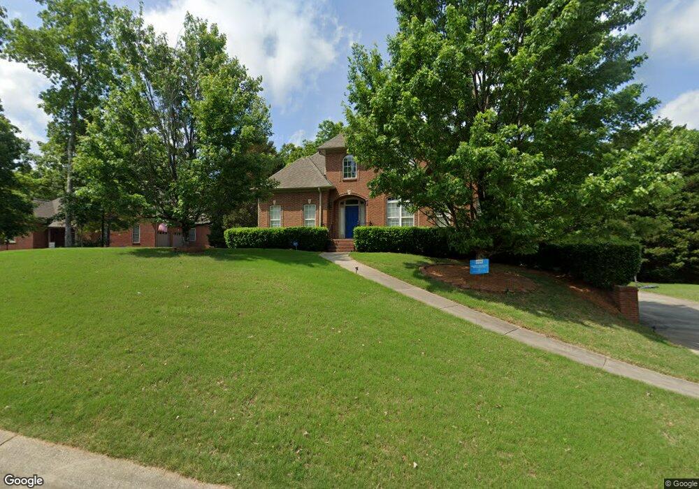
278 Kensington Ln Alabaster, AL 35007
Estimated Value: $423,000 - $487,534
--
Bed
3
Baths
2,639
Sq Ft
$172/Sq Ft
Est. Value
About This Home
This home is located at 278 Kensington Ln, Alabaster, AL 35007 and is currently estimated at $453,134, approximately $171 per square foot. 278 Kensington Ln is a home located in Shelby County with nearby schools including Thompson Intermediate School, Thompson Middle School, and Thompson High School.
Ownership History
Date
Name
Owned For
Owner Type
Purchase Details
Closed on
Oct 10, 2002
Sold by
Blair Homes Inc
Bought by
Fulford Keith D and Fulford Karen G
Current Estimated Value
Home Financials for this Owner
Home Financials are based on the most recent Mortgage that was taken out on this home.
Original Mortgage
$228,000
Outstanding Balance
$95,936
Interest Rate
6.21%
Estimated Equity
$357,198
Purchase Details
Closed on
May 1, 2002
Sold by
Greenbriar Ltd
Bought by
Blair Homes Inc
Home Financials for this Owner
Home Financials are based on the most recent Mortgage that was taken out on this home.
Original Mortgage
$215,250
Interest Rate
6.67%
Create a Home Valuation Report for This Property
The Home Valuation Report is an in-depth analysis detailing your home's value as well as a comparison with similar homes in the area
Home Values in the Area
Average Home Value in this Area
Purchase History
| Date | Buyer | Sale Price | Title Company |
|---|---|---|---|
| Fulford Keith D | -- | -- | |
| Blair Homes Inc | $40,000 | -- |
Source: Public Records
Mortgage History
| Date | Status | Borrower | Loan Amount |
|---|---|---|---|
| Open | Fulford Keith D | $228,000 | |
| Previous Owner | Blair Homes Inc | $215,250 |
Source: Public Records
Tax History Compared to Growth
Tax History
| Year | Tax Paid | Tax Assessment Tax Assessment Total Assessment is a certain percentage of the fair market value that is determined by local assessors to be the total taxable value of land and additions on the property. | Land | Improvement |
|---|---|---|---|---|
| 2024 | $2,347 | $43,460 | $0 | $0 |
| 2023 | $2,141 | $40,400 | $0 | $0 |
| 2022 | $1,983 | $37,480 | $0 | $0 |
| 2021 | $1,819 | $34,440 | $0 | $0 |
| 2020 | $1,717 | $32,560 | $0 | $0 |
| 2019 | $1,717 | $32,560 | $0 | $0 |
| 2017 | $1,716 | $32,540 | $0 | $0 |
| 2015 | $1,638 | $31,100 | $0 | $0 |
| 2014 | $1,600 | $30,380 | $0 | $0 |
Source: Public Records
Map
Nearby Homes
- 217 Kensington Ln
- 104 Camden Cir
- 549 Ramsgate Dr
- 545 Ramsgate Dr
- 1315 Yellowleaf Cir
- 309 Cedar Grove Ct
- 128 Oak St
- 155 Victoria Station
- 280 Cedar Grove Pkwy Unit 34
- 537 Ramsgate Dr
- 113 Palm Dr
- 236 Queens Gate
- 306 Mayfair Cir
- 204 Shalimar Cir
- 233 Norwick Forest Dr
- 104 Maple St
- 217 Mayfair Park
- 1166 Eagle Dr
- 208 Queens Gate
- 501 Ramsgate Dr
- 280 Kensington Ln
- 276 Kensington Ln
- 275 Kensington Ln
- 282 Kensington Ln
- 279 Kensington Ln
- 274 Kensington Ln
- 272 Kensington Ln
- 267 Kensington Ln
- 284 Kensington Ln
- 283 Kensington Ln
- 268 Kensington Ln
- 263 Kensington Ln
- 285 Kensington Ln
- 264 Kensington Ln
- 261 Kensington Ln
- 289 Kensington Ln
- 288 Kensington Ln
- 388 Knightsbridge
- 386 Knightsbridge
- 260 Kensington Ln