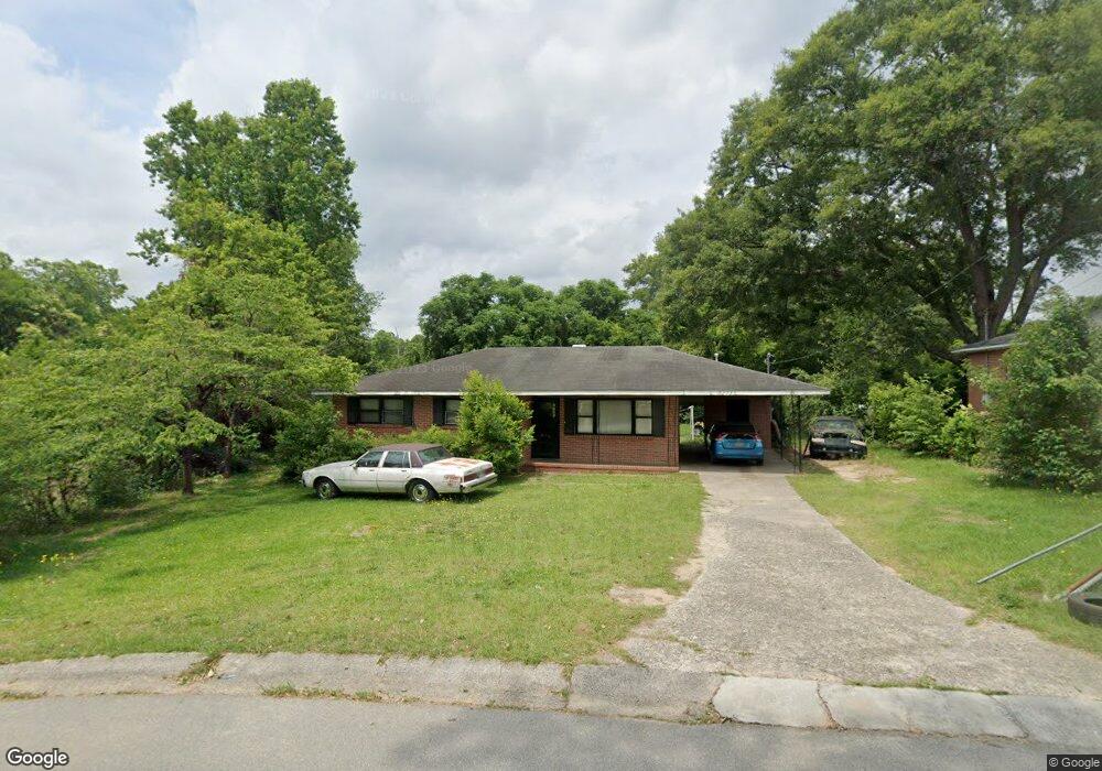
2780 Bob o Link Dr Macon, GA 31206
Estimated Value: $55,000 - $149,000
3
Beds
1
Bath
1,437
Sq Ft
$67/Sq Ft
Est. Value
About This Home
This home is located at 2780 Bob o Link Dr, Macon, GA 31206 and is currently estimated at $96,772, approximately $67 per square foot. 2780 Bob o Link Dr is a home located in Bibb County with nearby schools including Veterans Elementary School, Southwest High School, and Gilead Christian Academy.
Ownership History
Date
Name
Owned For
Owner Type
Purchase Details
Closed on
Apr 22, 2009
Sold by
Waterfall Victoria Reo Llc
Bought by
Williams Sam
Current Estimated Value
Purchase Details
Closed on
May 6, 2008
Sold by
Morris Mary Ann
Bought by
Sutton Funding Llc
Purchase Details
Closed on
Mar 17, 2005
Sold by
Vaughn Johnnie and Vaughn Johnnie
Bought by
Morris Mary Ann
Create a Home Valuation Report for This Property
The Home Valuation Report is an in-depth analysis detailing your home's value as well as a comparison with similar homes in the area
Home Values in the Area
Average Home Value in this Area
Purchase History
| Date | Buyer | Sale Price | Title Company |
|---|---|---|---|
| Williams Sam | $24,500 | None Available | |
| Waterfall Victoria Reo Llc | -- | None Available | |
| Sutton Funding Llc | $33,400 | -- | |
| Sutton Funding Llc | $33,364 | None Available | |
| Morris Mary Ann | $43,000 | None Available |
Source: Public Records
Tax History Compared to Growth
Tax History
| Year | Tax Paid | Tax Assessment Tax Assessment Total Assessment is a certain percentage of the fair market value that is determined by local assessors to be the total taxable value of land and additions on the property. | Land | Improvement |
|---|---|---|---|---|
| 2025 | $620 | $25,240 | $2,560 | $22,680 |
| 2024 | $555 | $21,838 | $2,560 | $19,278 |
| 2023 | $647 | $21,838 | $2,560 | $19,278 |
| 2022 | $542 | $15,650 | $4,178 | $11,472 |
| 2021 | $595 | $15,650 | $4,178 | $11,472 |
| 2020 | $608 | $15,650 | $4,178 | $11,472 |
| 2019 | $653 | $16,694 | $5,222 | $11,472 |
| 2018 | $1,410 | $20,517 | $5,222 | $15,295 |
| 2017 | $769 | $20,517 | $5,222 | $15,295 |
| 2016 | $710 | $20,517 | $5,222 | $15,295 |
| 2015 | $1,005 | $20,517 | $5,222 | $15,295 |
| 2014 | $1,156 | $20,517 | $5,222 | $15,295 |
Source: Public Records
Map
Nearby Homes
- 2868 Barrett Ave
- 2765 Alden St
- 2995 Virginia Dr
- 2770 Bonnie Ave
- 2769 Nancy Dr
- 3913 Blair Ct
- 2768 Nancy Dr
- 4738 Bloomfield Rd
- 2972 Richard Dr
- 2704 Reynolds Dr
- 2801 Deeb Dr
- 3078 Alfred Dr
- 5711 Sterling Place
- 5060 Pinefield Dr
- 5746 Sterling Place
- 2443 Lambert Dr
- 2521 Rocky Creek Rd
- 2960 Jadan Place
- 5756 Edwina Dr
- 3842 Wynnwood Dr
- 2790 Bob o Link Dr
- 2772 Bob o Link Dr
- 2939 Dalton St
- 2931 Dalton St
- 2804 Bob o Link Dr
- 2947 Dalton St
- 2762 Bob o Link Dr
- 2759 Bob o Link Dr
- 2923 Dalton St
- 2808 Bob o Link Dr
- 2754 Bob o Link Dr
- 2751 Bob o Link Dr
- 2792 Heaton Dr
- 2955 Dalton St
- 2881 Barrett Ave
- 2915 Dalton St
- 2875 Barrett Ave
- 2869 Barrett Ave
- 2887 Barrett Ave
- 2746 Bob o Link Dr