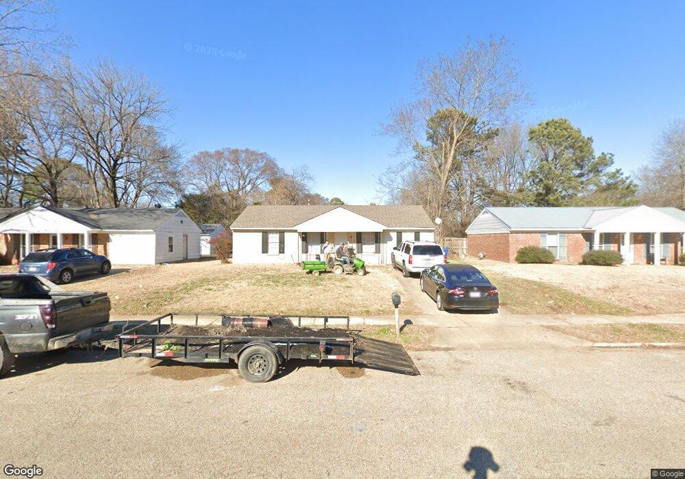
2780 Meadowbrook Dr Horn Lake, MS 38637
Estimated Value: $139,000 - $182,000
2
Beds
--
Bath
1,230
Sq Ft
$132/Sq Ft
Est. Value
About This Home
This home is located at 2780 Meadowbrook Dr, Horn Lake, MS 38637 and is currently estimated at $161,784, approximately $131 per square foot. 2780 Meadowbrook Dr is a home located in DeSoto County with nearby schools including Horn Lake Elementary School, Horn Lake Intermediate School, and Horn Lake Middle School.
Ownership History
Date
Name
Owned For
Owner Type
Purchase Details
Closed on
Jan 30, 2014
Sold by
North Mississippi Investment Properties
Bought by
Ksb Properties Llc
Current Estimated Value
Home Financials for this Owner
Home Financials are based on the most recent Mortgage that was taken out on this home.
Original Mortgage
$49,603
Interest Rate
4.51%
Mortgage Type
Land Contract Argmt. Of Sale
Create a Home Valuation Report for This Property
The Home Valuation Report is an in-depth analysis detailing your home's value as well as a comparison with similar homes in the area
Home Values in the Area
Average Home Value in this Area
Purchase History
| Date | Buyer | Sale Price | Title Company |
|---|---|---|---|
| Ksb Properties Llc | -- | None Available |
Source: Public Records
Mortgage History
| Date | Status | Borrower | Loan Amount |
|---|---|---|---|
| Closed | Ksb Properties Llc | $49,603 |
Source: Public Records
Tax History Compared to Growth
Tax History
| Year | Tax Paid | Tax Assessment Tax Assessment Total Assessment is a certain percentage of the fair market value that is determined by local assessors to be the total taxable value of land and additions on the property. | Land | Improvement |
|---|---|---|---|---|
| 2024 | $1,349 | $9,063 | $2,250 | $6,813 |
| 2023 | $1,349 | $9,063 | $0 | $0 |
| 2022 | $1,349 | $9,063 | $2,250 | $6,813 |
| 2021 | $1,348 | $9,057 | $2,250 | $6,807 |
| 2020 | $1,268 | $8,514 | $2,250 | $6,264 |
| 2019 | $1,268 | $8,514 | $2,250 | $6,264 |
| 2017 | $1,228 | $14,160 | $8,205 | $5,955 |
| 2016 | $1,195 | $8,205 | $2,250 | $5,955 |
| 2015 | $1,187 | $14,160 | $8,205 | $5,955 |
| 2014 | $1,195 | $8,205 | $0 | $0 |
| 2013 | $1,162 | $8,205 | $0 | $0 |
Source: Public Records
Map
Nearby Homes
- 2919 Normandy Dr
- 2950 Briarwood Dr
- 2880 Briarwood Dr
- 2848 Normandy Dr
- 6670 Embassy Cir
- 2895 Valleybrook Rd
- 6265 Foxbriar Dr
- 2605 Valleybrook Rd
- 3305 Tulane Rd W
- 2920 Devon Cir
- 3430 Mayfair Dr
- 6505 Riverdale Rd
- 3530 Woodmont Cove
- 2388 Pappy Ln
- 3405 Woodbine Cove
- 6405 Collinwood Rd
- 7135 Hampton Dr
- 7088 Foxhall Dr
- 5822 Waverly Dr
- 6500 Sandhurst Rd
- 2770 Meadowbrook Dr
- 2790 Meadowbrook Dr
- 2800 Meadowbrook Dr
- 2750 Meadowbrook Dr
- 6485 Ridgewood Rd
- 6495 Ridgewood Rd
- 2810 Meadowbrook Dr
- 2785 Meadowbrook Dr
- 2775 Meadowbrook Dr
- 2805 Meadowbrook Dr
- 2755 Meadowbrook Dr
- 6505 Ridgewood Rd
- 2820 Meadowbrook Dr
- 2815 Meadowbrook Dr
- 6515 Ridgewood Rd
- 6445 Ridgewood Rd
- 2730 Meadowbrook Dr
- 2830 Meadowbrook Dr
- 2825 Meadowbrook Dr
- 6480 Ridgewood Rd