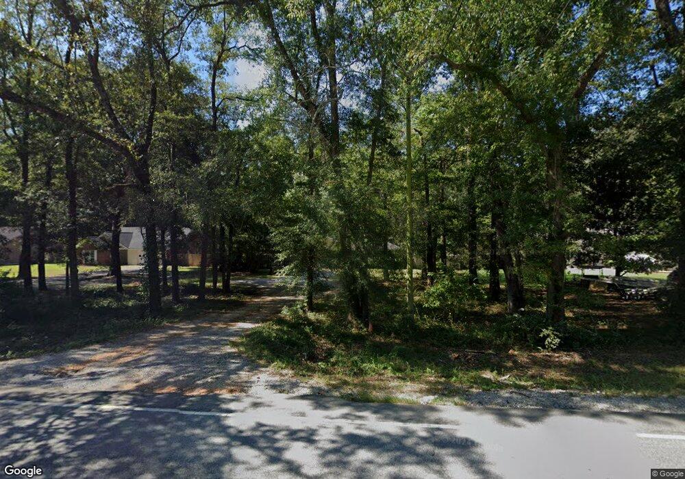
2780 Rifle Range Rd Wetumpka, AL 36093
Estimated Value: $207,397 - $241,000
--
Bed
1
Bath
1,584
Sq Ft
$143/Sq Ft
Est. Value
About This Home
This home is located at 2780 Rifle Range Rd, Wetumpka, AL 36093 and is currently estimated at $226,349, approximately $142 per square foot. 2780 Rifle Range Rd is a home located in Elmore County with nearby schools including Redland Elementary School, Wetumpka Middle School, and Wetumpka High School.
Ownership History
Date
Name
Owned For
Owner Type
Purchase Details
Closed on
Dec 30, 2020
Sold by
Davis James T
Bought by
Jones Jacob
Current Estimated Value
Home Financials for this Owner
Home Financials are based on the most recent Mortgage that was taken out on this home.
Original Mortgage
$146,680
Outstanding Balance
$130,288
Interest Rate
2.7%
Mortgage Type
New Conventional
Estimated Equity
$96,061
Purchase Details
Closed on
Mar 31, 2020
Sold by
Davis James T
Bought by
Smith Gerald and Smith Kennedy Quicky
Home Financials for this Owner
Home Financials are based on the most recent Mortgage that was taken out on this home.
Original Mortgage
$150,835
Interest Rate
3.4%
Mortgage Type
New Conventional
Create a Home Valuation Report for This Property
The Home Valuation Report is an in-depth analysis detailing your home's value as well as a comparison with similar homes in the area
Home Values in the Area
Average Home Value in this Area
Purchase History
| Date | Buyer | Sale Price | Title Company |
|---|---|---|---|
| Jones Jacob | $152,000 | None Available | |
| Smith Gerald | $155,500 | None Available |
Source: Public Records
Mortgage History
| Date | Status | Borrower | Loan Amount |
|---|---|---|---|
| Open | Jones Jacob | $146,680 | |
| Previous Owner | Smith Gerald | $150,835 |
Source: Public Records
Tax History Compared to Growth
Tax History
| Year | Tax Paid | Tax Assessment Tax Assessment Total Assessment is a certain percentage of the fair market value that is determined by local assessors to be the total taxable value of land and additions on the property. | Land | Improvement |
|---|---|---|---|---|
| 2024 | $830 | $31,200 | $0 | $0 |
| 2023 | $830 | $156,010 | $20,000 | $136,010 |
| 2022 | $764 | $30,146 | $4,000 | $26,146 |
| 2021 | $701 | $28,046 | $4,000 | $24,046 |
| 2020 | $596 | $27,646 | $7,800 | $19,846 |
| 2019 | $2,547 | $101,866 | $7,800 | $94,066 |
| 2018 | $2,585 | $103,382 | $7,800 | $95,582 |
| 2017 | $2,585 | $103,380 | $7,800 | $95,580 |
| 2016 | $2,785 | $103,382 | $7,800 | $95,582 |
| 2014 | $2,727 | $505,310 | $31,530 | $473,780 |
Source: Public Records
Map
Nearby Homes
- 307 Albritton Ln
- 01 Dozier Rd
- 312 Sherwood Trail
- 49 River Birch Cir
- 535 Morgan Trace
- 750 Emerald Mountain Pkwy
- 950 Emerald Mountain Pkwy
- 137 Serene Ln
- 119 Serene Ln
- 40 Serene Ln
- 156 Walnut Point Dr
- 200 Mountain Laurel Ridge
- 120 Meadow Ridge Dr
- 248 Dogwood Meadows Ln
- 3103 Dozier Rd
- 404 Grove Park Loop
- 1525 Emerald Mountain Pkwy
- 466 Grove Park Loop
- 209 Cobblestone Path
- 350 Mountain Meadows Ln
- 2794 Rifle Range Rd
- 2770 Rifle Range Rd
- 2824 Rifle Range Rd
- 73 Albritton Ln
- 168 Leigh Ln
- 511 Rifle Range Rd
- 511 Rifle Range Rd
- 99 Albritton Ln
- 4845 Dozier Rd
- 2871 Rifle Range Rd
- 40 Turner Rd
- 120 Turner Rd
- 106 Leigh Ln
- 4854 Dozier Rd
- 100 Albritton Ln
- 148 Leigh Ln
- 4824 Dozier Rd
- 79 Turner Rd
- 39 Turner Rd
- 2934 Rifle Range Rd
