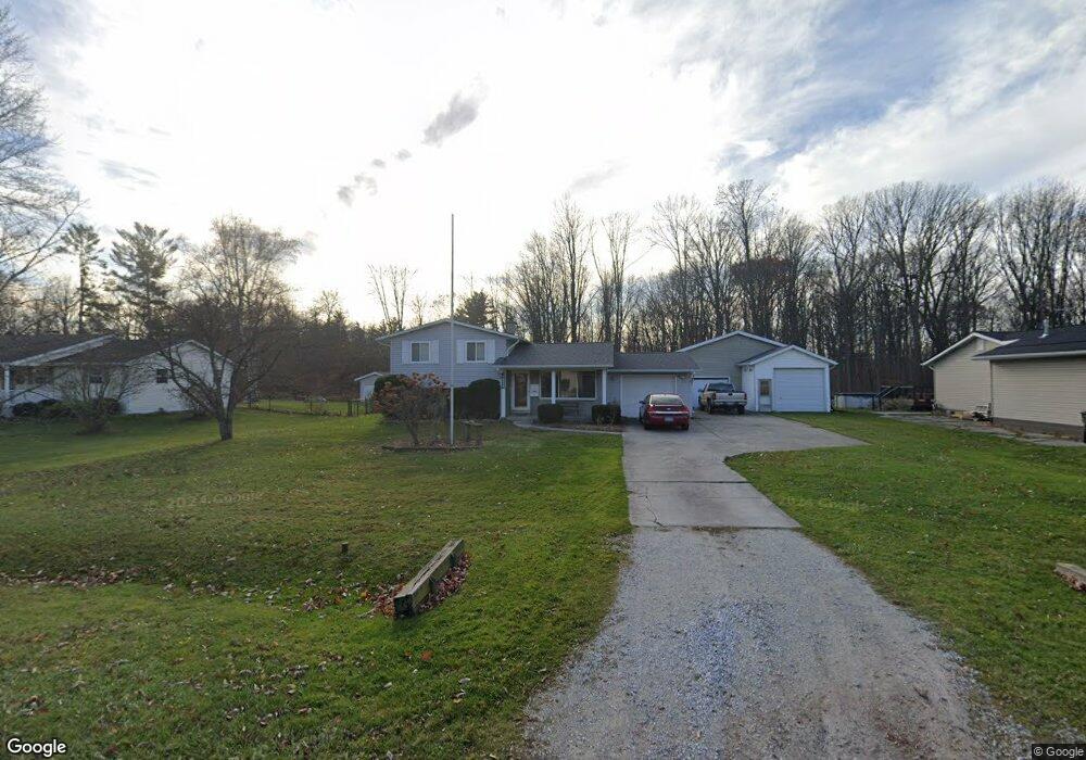
2781 Lewis Dr Port Huron, MI 48060
Estimated Value: $174,000 - $267,441
4
Beds
2
Baths
1,558
Sq Ft
$145/Sq Ft
Est. Value
About This Home
This home is located at 2781 Lewis Dr, Port Huron, MI 48060 and is currently estimated at $226,110, approximately $145 per square foot. 2781 Lewis Dr is a home located in St. Clair County with nearby schools including H.D. Crull Elementary School, Central Middle School, and Port Huron High School.
Ownership History
Date
Name
Owned For
Owner Type
Purchase Details
Closed on
Feb 17, 2021
Sold by
Bailey Webster P and Bailey Marie T
Bought by
Bailey Herbert
Current Estimated Value
Home Financials for this Owner
Home Financials are based on the most recent Mortgage that was taken out on this home.
Original Mortgage
$120,000
Outstanding Balance
$107,082
Interest Rate
2.7%
Mortgage Type
New Conventional
Estimated Equity
$119,028
Purchase Details
Closed on
Mar 22, 2019
Sold by
Buckeridge Philip G
Bought by
Bailey Webster P and Bailey Marie T
Purchase Details
Closed on
Mar 21, 2019
Sold by
Buckeridge Kathleen L
Bought by
Buckeridge Philip G
Create a Home Valuation Report for This Property
The Home Valuation Report is an in-depth analysis detailing your home's value as well as a comparison with similar homes in the area
Home Values in the Area
Average Home Value in this Area
Purchase History
| Date | Buyer | Sale Price | Title Company |
|---|---|---|---|
| Bailey Herbert | $200,000 | Jb Title | |
| Bailey Webster P | -- | None Listed On Document | |
| Buckeridge Philip G | -- | None Listed On Document |
Source: Public Records
Mortgage History
| Date | Status | Borrower | Loan Amount |
|---|---|---|---|
| Open | Bailey Herbert | $120,000 |
Source: Public Records
Tax History Compared to Growth
Tax History
| Year | Tax Paid | Tax Assessment Tax Assessment Total Assessment is a certain percentage of the fair market value that is determined by local assessors to be the total taxable value of land and additions on the property. | Land | Improvement |
|---|---|---|---|---|
| 2025 | $3,840 | $91,600 | $0 | $0 |
| 2024 | $1,393 | $94,200 | $0 | $0 |
| 2023 | $1,286 | $87,300 | $0 | $0 |
| 2022 | $2,376 | $74,700 | $0 | $0 |
| 2021 | $2,175 | $69,200 | $0 | $0 |
| 2020 | $2,175 | $65,100 | $65,100 | $0 |
| 2019 | $1,778 | $55,500 | $0 | $0 |
| 2018 | $1,736 | $55,500 | $0 | $0 |
| 2017 | $1,697 | $51,700 | $0 | $0 |
| 2016 | $879 | $51,700 | $0 | $0 |
| 2015 | -- | $51,600 | $51,600 | $0 |
| 2014 | -- | $49,500 | $49,500 | $0 |
| 2013 | -- | $48,900 | $0 | $0 |
Source: Public Records
Map
Nearby Homes
- 2566 Lewis Dr
- 3255 Harrington Rd
- 2940 Westland Dr
- 2650 Alger Rd
- 2636 Locust St
- 3335 W Water St
- 2045 Yeager St
- 0000 Manuel St
- 0000 Henry St
- 0000 W Water St
- 00 Campau Ave
- 2475 Sharon Ln
- 2863 Beach Rd
- 3408 N Burwick Dr
- 146 Taylor St
- 3409 Ancient Dr
- 0000 Water St
- 1825 Kern St
- 1819 Kern St
- 2610 Strawberry Ln