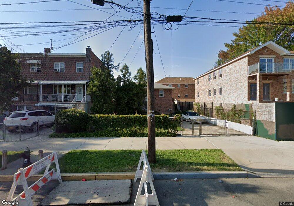
2783 Miles Ave Bronx, NY 10465
Throgs Neck-Edgewater Park NeighborhoodEstimated Value: $818,000 - $967,000
Studio
--
Bath
2,992
Sq Ft
$305/Sq Ft
Est. Value
About This Home
This home is located at 2783 Miles Ave, Bronx, NY 10465 and is currently estimated at $912,199, approximately $304 per square foot. 2783 Miles Ave is a home located in Bronx County with nearby schools including P.S. 72 - Dr. William Dorney, Herbert H Lehman High School, and St. Frances de Chantal School.
Ownership History
Date
Name
Owned For
Owner Type
Purchase Details
Closed on
Aug 21, 2025
Sold by
Sikoryak Nicole M and Waldron John A
Bought by
Sikoryak Nicole M
Current Estimated Value
Purchase Details
Closed on
Jun 2, 2020
Sold by
Sikoryak Julia
Bought by
Sikoryak Nicole M and Waldron John A
Home Financials for this Owner
Home Financials are based on the most recent Mortgage that was taken out on this home.
Original Mortgage
$450,000
Outstanding Balance
$398,891
Interest Rate
3.2%
Mortgage Type
New Conventional
Estimated Equity
$513,308
Create a Home Valuation Report for This Property
The Home Valuation Report is an in-depth analysis detailing your home's value as well as a comparison with similar homes in the area
Home Values in the Area
Average Home Value in this Area
Purchase History
| Date | Buyer | Sale Price | Title Company |
|---|---|---|---|
| Sikoryak Nicole M | -- | -- | |
| Sikoryak Nicole M | $600,000 | -- |
Source: Public Records
Mortgage History
| Date | Status | Borrower | Loan Amount |
|---|---|---|---|
| Open | Sikoryak Nicole M | $450,000 |
Source: Public Records
Tax History Compared to Growth
Tax History
| Year | Tax Paid | Tax Assessment Tax Assessment Total Assessment is a certain percentage of the fair market value that is determined by local assessors to be the total taxable value of land and additions on the property. | Land | Improvement |
|---|---|---|---|---|
| 2025 | $7,718 | $40,732 | $9,400 | $31,332 |
| 2024 | $7,718 | $38,426 | $8,664 | $29,762 |
| 2023 | $7,362 | $36,252 | $8,652 | $27,600 |
| 2022 | $6,827 | $49,860 | $12,960 | $36,900 |
| 2021 | $7,197 | $48,960 | $12,960 | $36,000 |
| 2020 | $2,628 | $53,040 | $12,960 | $40,080 |
| 2019 | $2,389 | $45,780 | $12,960 | $32,820 |
| 2018 | $2,127 | $30,210 | $11,995 | $18,215 |
| 2017 | $2,083 | $28,500 | $12,960 | $15,540 |
| 2016 | $2,346 | $31,440 | $12,960 | $18,480 |
| 2015 | $1,418 | $30,660 | $12,451 | $18,209 |
| 2014 | $1,418 | $30,135 | $12,556 | $17,579 |
Source: Public Records
Map
Nearby Homes
- 2780 Sampson Ave
- 310 Huntington Ave
- 266 Swinton Ave
- 2738 Miles Ave
- 2857 Lawton Ave
- 426 Calhoun Ave
- 278 Balcom Ave
- 249 Calhoun Ave
- 416 Revere Ave
- 239 Brinsmade Ave
- 449 Revere Ave
- 269 Balcom Ave
- 227 Calhoun Ave
- 4190 E Tremont Ave
- 2866 Dewey Ave
- 244 Revere Ave
- 285 Logan Ave
- 2832 Harding Ave
- 2819 Collis Place
- 192 Huntington Ave
- 2779 Miles Ave
- 2779 Miles Ave Unit 1
- 2787 Miles Ave
- 2777 Miles Ave
- 2787 E Miles Ave
- 2775 Miles Ave
- 313 Swinton Ave
- 2773 Miles Ave
- 312 Brinsmade Ave
- 317 Swinton Ave
- 2771 Miles Ave
- 318 Brinsmade Ave
- 321 Swinton Ave
- 304 Swinton Ave
- 295 Swinton Ave
- 320 Brinsmade Ave
- 2784B Miles Ave
- 2784A Miles Ave
- 2784 Miles Ave Unit A
- 2782B Miles Ave