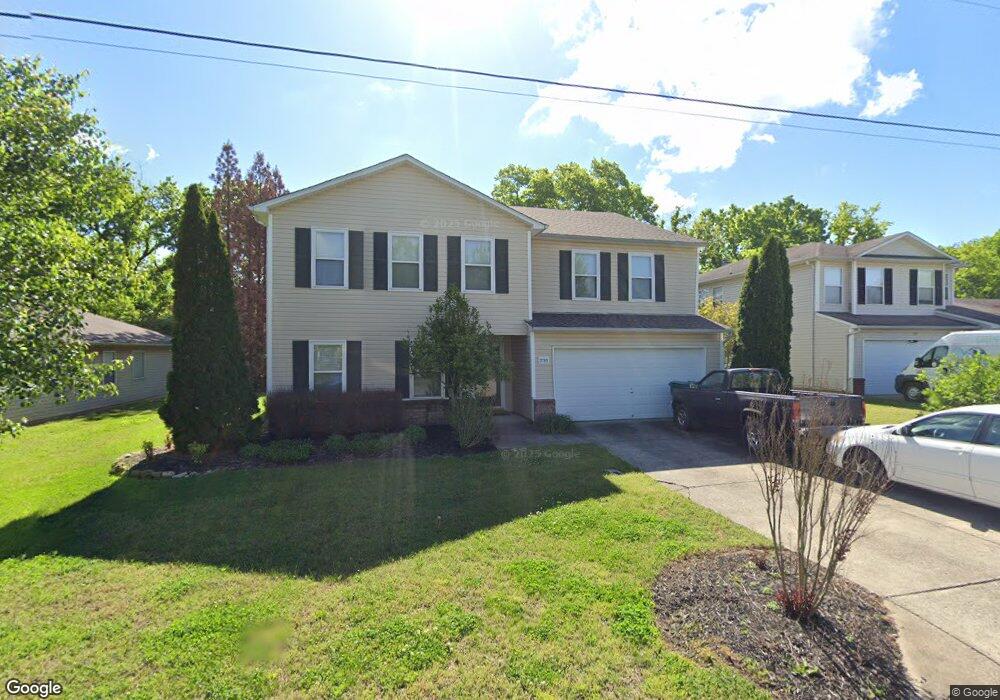
2783 Sutherland Dr Thompsons Station, TN 37179
Estimated Value: $517,000 - $625,000
--
Bed
4
Baths
3,058
Sq Ft
$184/Sq Ft
Est. Value
About This Home
This home is located at 2783 Sutherland Dr, Thompsons Station, TN 37179 and is currently estimated at $561,770, approximately $183 per square foot. 2783 Sutherland Dr is a home located in Williamson County with nearby schools including Primrose School of Spring Hill.
Ownership History
Date
Name
Owned For
Owner Type
Purchase Details
Closed on
Jun 30, 2003
Sold by
Centex Homes
Bought by
Wakefield Michael G and Wakefield Patricia M
Current Estimated Value
Home Financials for this Owner
Home Financials are based on the most recent Mortgage that was taken out on this home.
Original Mortgage
$132,197
Outstanding Balance
$56,373
Interest Rate
5.3%
Mortgage Type
Purchase Money Mortgage
Estimated Equity
$505,397
Create a Home Valuation Report for This Property
The Home Valuation Report is an in-depth analysis detailing your home's value as well as a comparison with similar homes in the area
Home Values in the Area
Average Home Value in this Area
Purchase History
| Date | Buyer | Sale Price | Title Company |
|---|---|---|---|
| Wakefield Michael G | $165,247 | -- |
Source: Public Records
Mortgage History
| Date | Status | Borrower | Loan Amount |
|---|---|---|---|
| Open | Wakefield Michael G | $132,197 | |
| Closed | Wakefield Michael G | $16,524 |
Source: Public Records
Tax History Compared to Growth
Tax History
| Year | Tax Paid | Tax Assessment Tax Assessment Total Assessment is a certain percentage of the fair market value that is determined by local assessors to be the total taxable value of land and additions on the property. | Land | Improvement |
|---|---|---|---|---|
| 2024 | $657 | $88,850 | $18,750 | $70,100 |
| 2023 | $657 | $88,850 | $18,750 | $70,100 |
| 2022 | $1,626 | $88,850 | $18,750 | $70,100 |
| 2021 | $1,626 | $88,850 | $18,750 | $70,100 |
| 2020 | $1,386 | $64,175 | $11,250 | $52,925 |
| 2019 | $1,386 | $64,175 | $11,250 | $52,925 |
| 2018 | $1,341 | $64,175 | $11,250 | $52,925 |
| 2017 | $1,328 | $64,175 | $11,250 | $52,925 |
| 2016 | $0 | $64,175 | $11,250 | $52,925 |
| 2015 | -- | $47,600 | $8,750 | $38,850 |
| 2014 | -- | $47,600 | $8,750 | $38,850 |
Source: Public Records
Map
Nearby Homes
- 2131 Carlton Ln
- 458 Buckwood Ave W
- 311 Buckwood Ln N
- 452 Buckwood Ave W
- 465 Buckwood Ave
- 1252 Annapolis Cir
- 1317 Branchside Ct
- 1325 Branchside Ct
- 1140 Summerville Cir
- 454 Buckwood Ave E
- 462 Buckwood Ave W
- 466 Buckwood Ave W
- 2104 Loudenslager Dr
- 303 Buckwood Ln
- 450 Buckwood Ave W
- 321 Buckwood Ln N
- 440 Buckwood Ave W
- 457 Buckwood Ave E
- 467 Buckwood Ave E
- 455 Buckwood Ave W
- 2781 Sutherland Dr
- 2785 Sutherland Dr
- 2785 Sutherland Dr
- 2787 Sutherland Dr
- 2784 Sutherland Dr
- 2782 Sutherland Dr
- 1517 Beaufort Place
- 2786 Sutherland Dr
- 1514 Beaufort Place
- 2780 Sutherland Dr
- 1513 Beaufort Place
- 2789 Sutherland Dr
- 2790 Sutherland Dr
- 1510 Beaufort Place
- 2778 Sutherland Dr
- 2791 Sutherland Dr
- 1509 Danville Cir
- 1511 Beaufort Place
- 2776 Sutherland Dr
- 1507 Danville Cir