2783 Sutton Place Doylestown, PA 18902
Estimated Value: $1,999,498 - $2,282,000
About This Home
This home is located at 2783 Sutton Place, Doylestown, PA 18902 and is currently estimated at $2,152,833, approximately $285 per square foot. 2783 Sutton Place is a home located in Bucks County with nearby schools including Buckingham Elementary School, Holicong Middle School, and Central Bucks High School - East.
Ownership History
We collect this data history from publicly available records. To have your information removed, we recommend requesting removal directly through your county’s website.
Purchase Details
Home Financials for this Owner
Home Financials are based on the most recent Mortgage that was taken out on this home.Home Values in the Area
Average Home Value in this Area
Purchase History
We collect this data history from publicly available records. To have your information removed, we recommend requesting removal directly through your county’s website.
| Date | Buyer | Sale Price | Title Company |
|---|---|---|---|
| $1,310,965 | None Available |
Mortgage History
We collect this data history from publicly available records. To have your information removed, we recommend requesting removal directly through your county’s website.
| Date | Status | Borrower | Loan Amount |
|---|---|---|---|
| Previous Owner | $417,000 |
Tax History
We collect this data history from publicly available records. To have your information removed, we recommend requesting removal directly through your county’s website.
| Year | Tax Paid | Tax Assessment Tax Assessment Total Assessment is a certain percentage of the fair market value that is determined by local assessors to be the total taxable value of land and additions on the property. | Land | Improvement |
|---|---|---|---|---|
| 2026 | $22,316 | $130,870 | $16,830 | $114,040 |
| 2025 | $21,307 | $130,870 | $16,830 | $114,040 |
| 2024 | $21,307 | $130,870 | $16,830 | $114,040 |
| 2023 | $20,585 | $130,870 | $16,830 | $114,040 |
| 2022 | $20,339 | $130,870 | $16,830 | $114,040 |
| 2021 | $20,095 | $130,870 | $16,830 | $114,040 |
| 2020 | $20,095 | $130,870 | $16,830 | $114,040 |
| 2019 | $19,964 | $130,870 | $16,830 | $114,040 |
| 2018 | $19,964 | $130,870 | $16,830 | $114,040 |
| 2017 | $19,801 | $130,870 | $16,830 | $114,040 |
| 2016 | $19,997 | $130,870 | $16,830 | $114,040 |
| 2015 | -- | $130,870 | $16,830 | $114,040 |
| 2014 | -- | $130,870 | $16,830 | $114,040 |
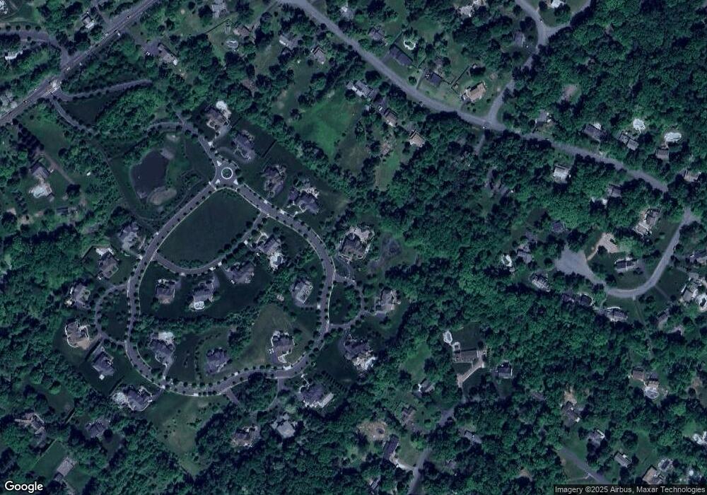
Map
- 4361 Sunnyside Dr
- 2723 Mill Rd
- 2885 Mill Rd
- 4612 Sands Way
- 2840 W Fox Chase Cir
- 2959 Burnt House Hill Rd
- 3143 Millhurst Ln
- 3870 York Rd
- 4203 Greenspire Ln
- 2090 Durham Rd
- 3039 Durham Rd
- 3850 Springtown Rd
- 3836 Taylortown Rd
- 3795 Route 202
- 5025 Anderson Rd
- 4853 Indigo Dr
- 3844 Springtown Rd
- 4858 W Blossom Dr
- 4009 Smoke Rd
- 4687 Woodfield Cir
- 2787 Manion Way
- 2780 Manion Way
- 2779 Sutton Place
- 2791 Manion Way
- 2775 Sutton Place
- 2736 Red Gate Dr
- 2716 Kent Dr
- 2714 Red Gate Dr
- 2770 Manion Way
- 2795 Manion Way
- 2754 Red Gate Dr
- 2688 Red Gate Dr
- 4300 Sunnyside Dr Unit LOT 27
- 4300 Sunnyside Dr
- 2720 Kent Dr
- 2767 Haywick Dr
- 4280 Sunnyside Dr
- 4323 Angus Cir
- 2731 Red Gate Dr
- 2755 Red Gate Dr
Ask me questions while you tour the home.